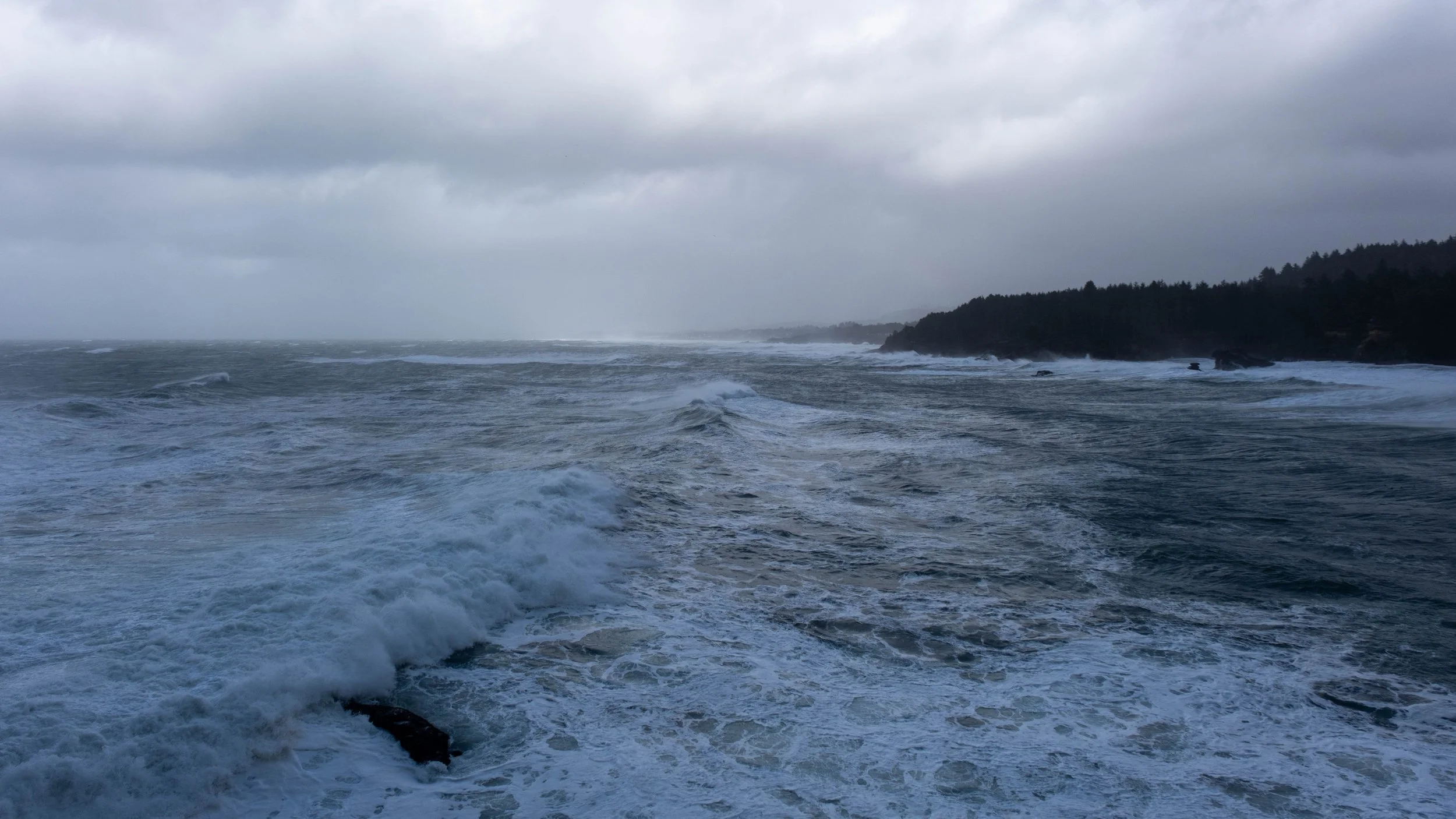
It was partly sunny and lovely in Seaside, but as I drove south towards Ecola State Park, I got hit with heavy rain and began to worry that my plans for hiking would turn out to be very soggy. However, when I got to the parking lot inside the park, the rain had just stopped (well, mostly) and it looked like the sun might come out after all. There was a ranger doing some maintenance and a few parked cars, but otherwise, I had the place all to myself.
Right as I was about to start on the trail, a cyclist was coming through, and the three of us chatted for a bit. He said the thick forest shielded him from the worst of the rain, but that he would be happy to get back to his car further down the coastal trail.
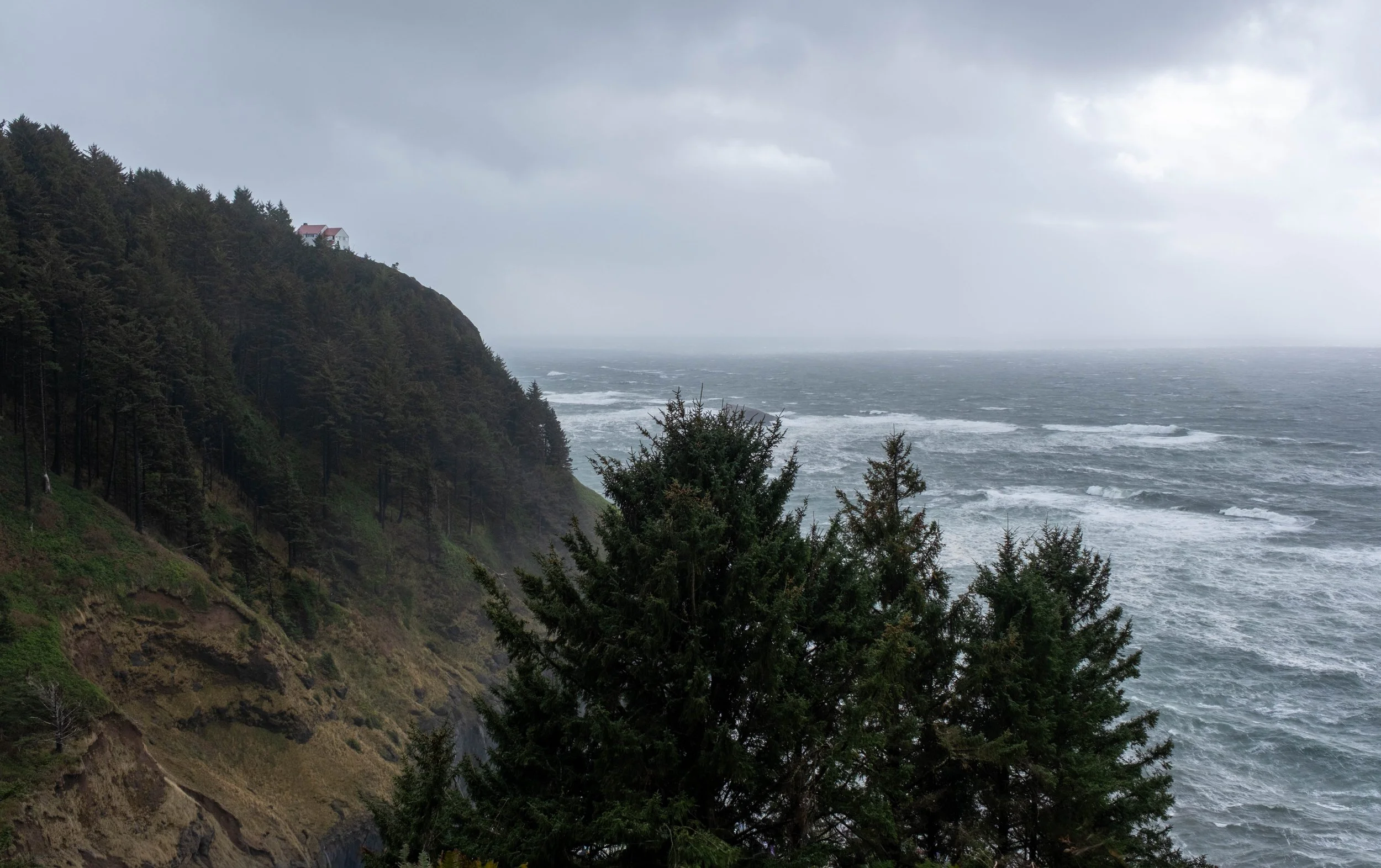
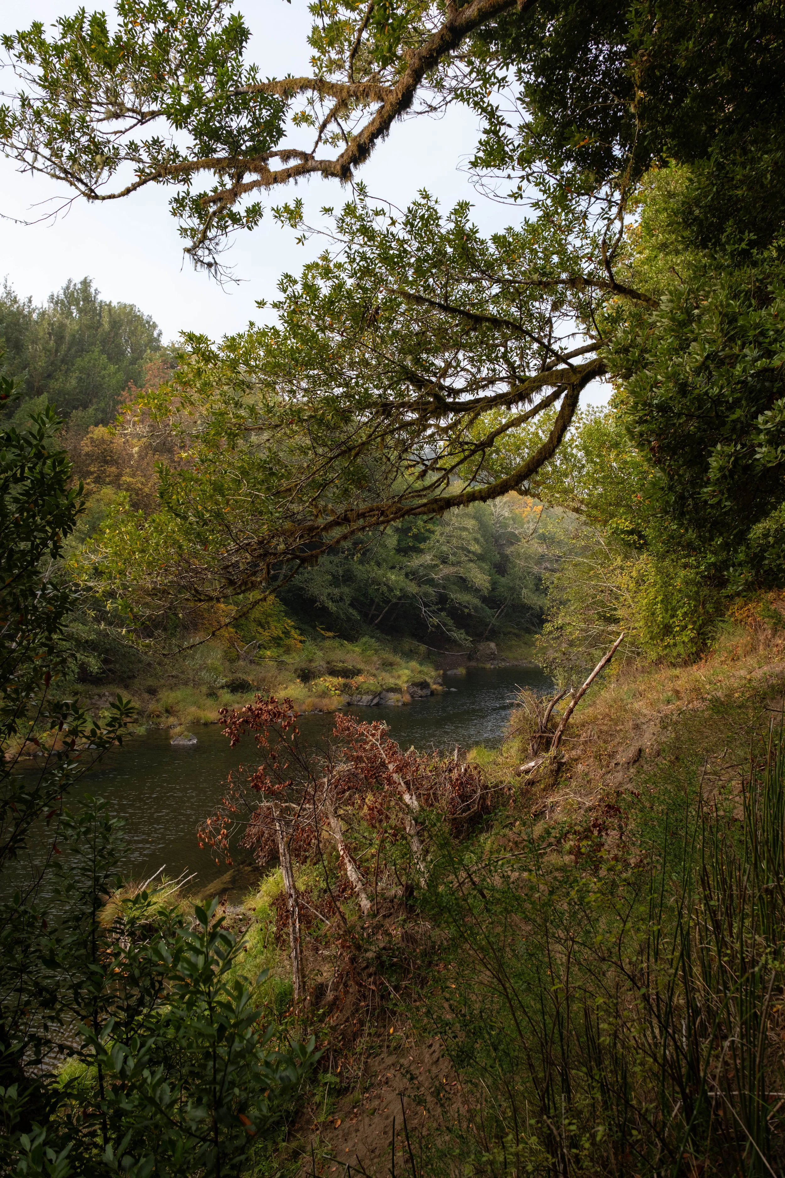
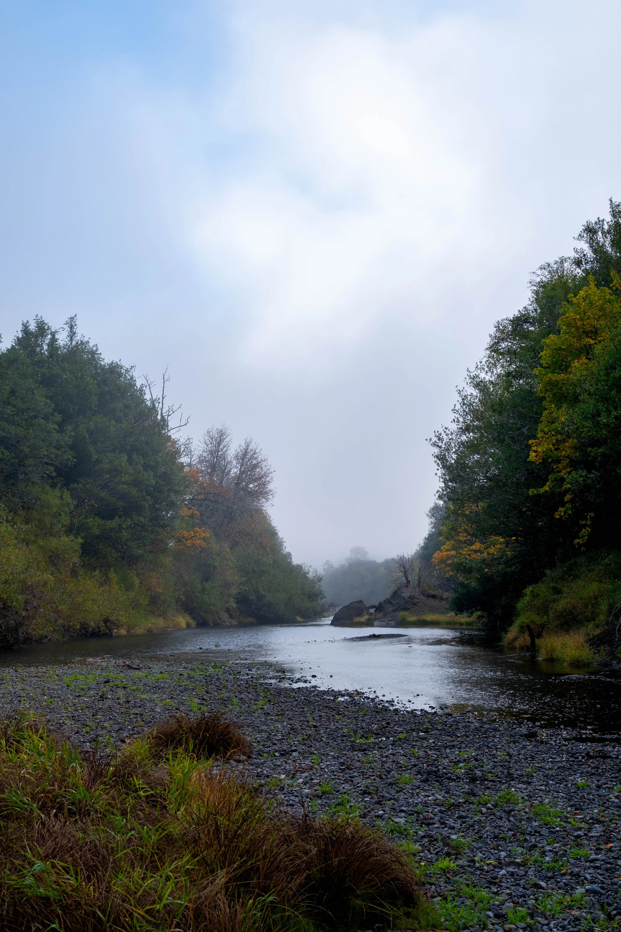
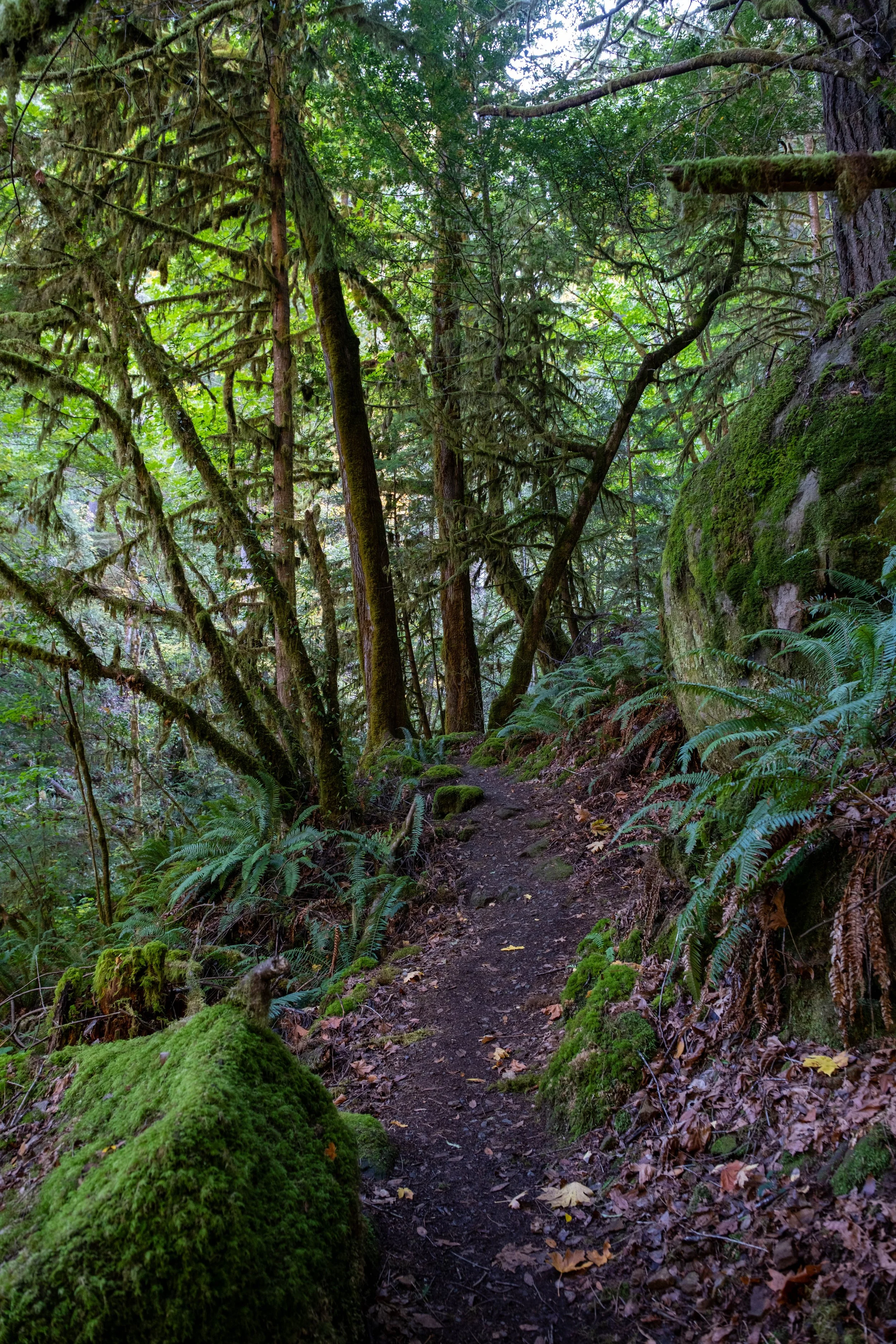
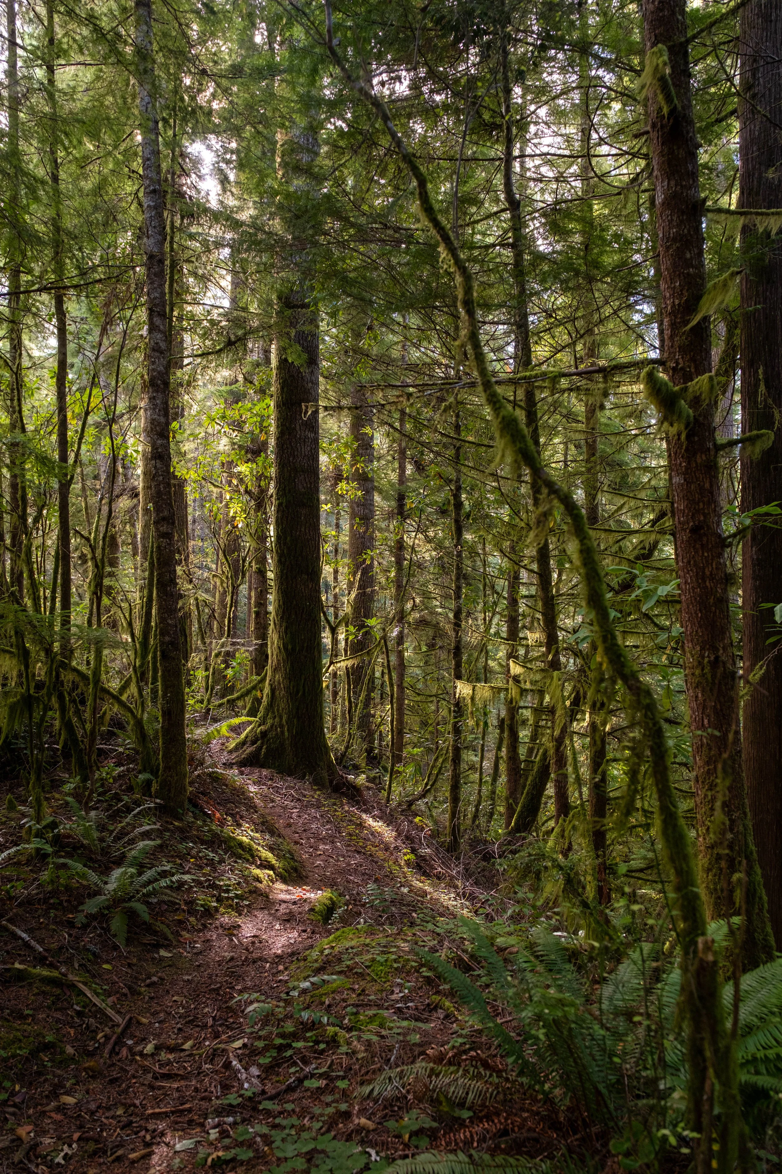
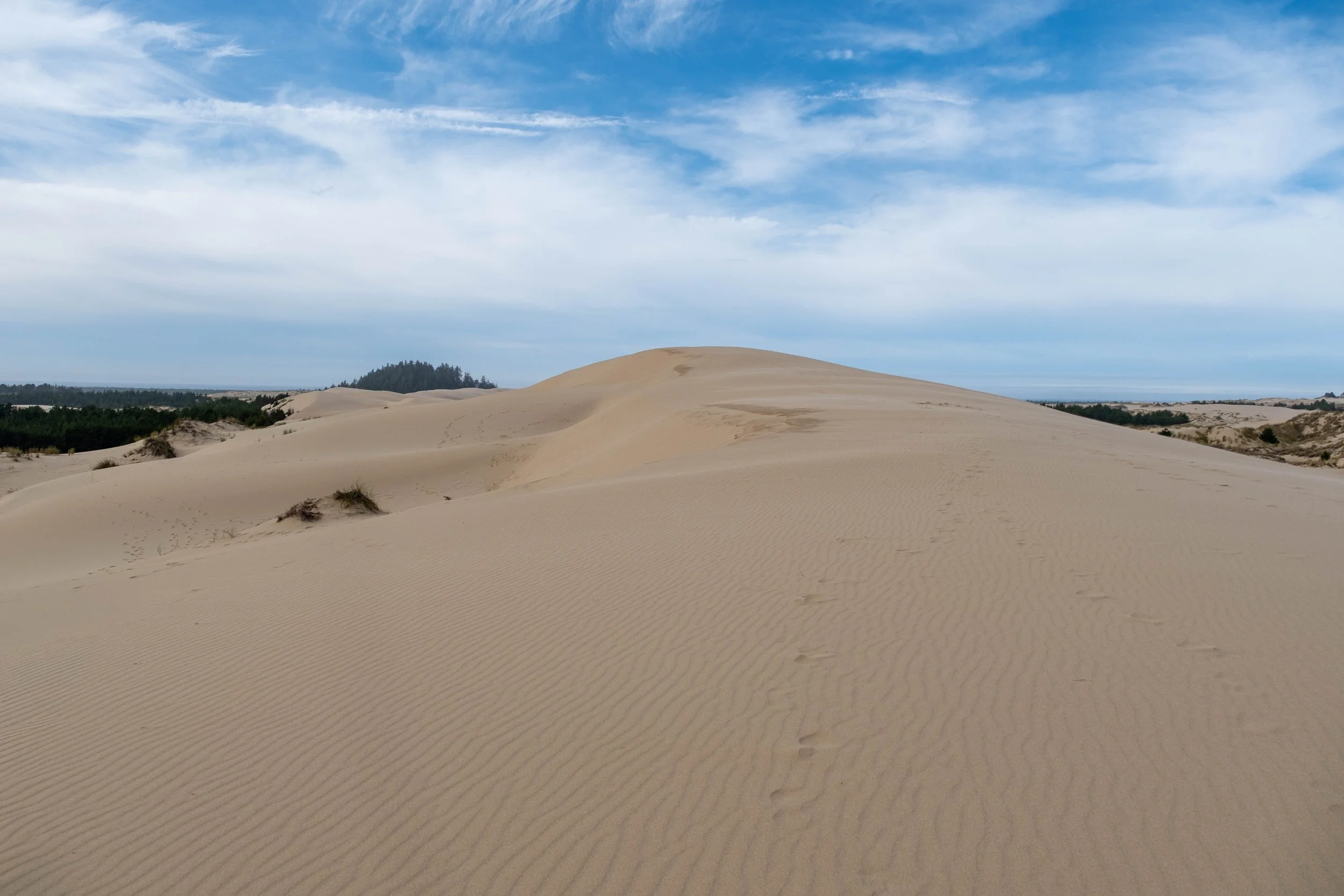
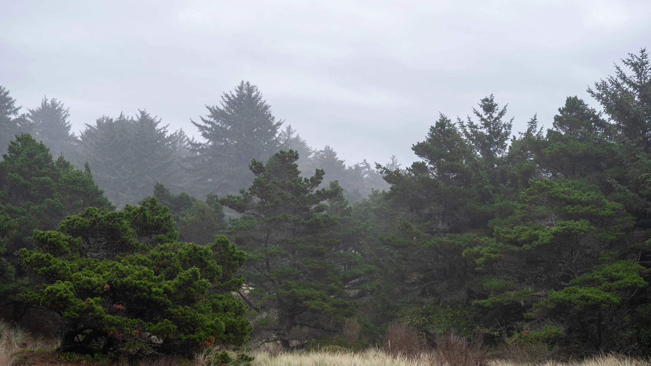
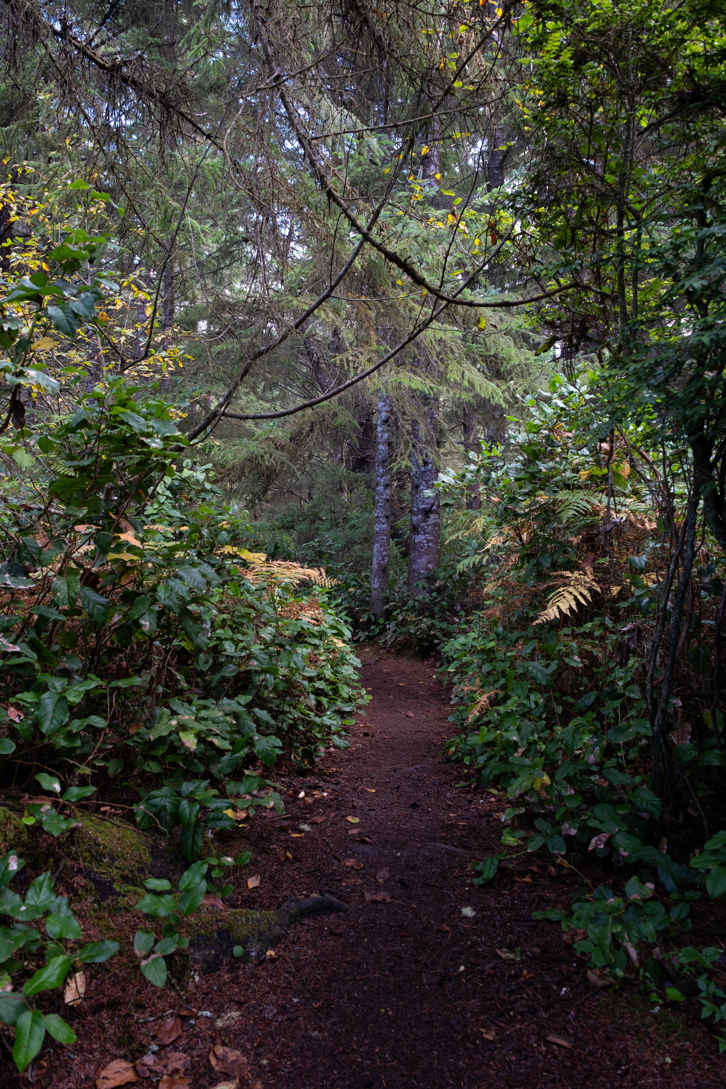
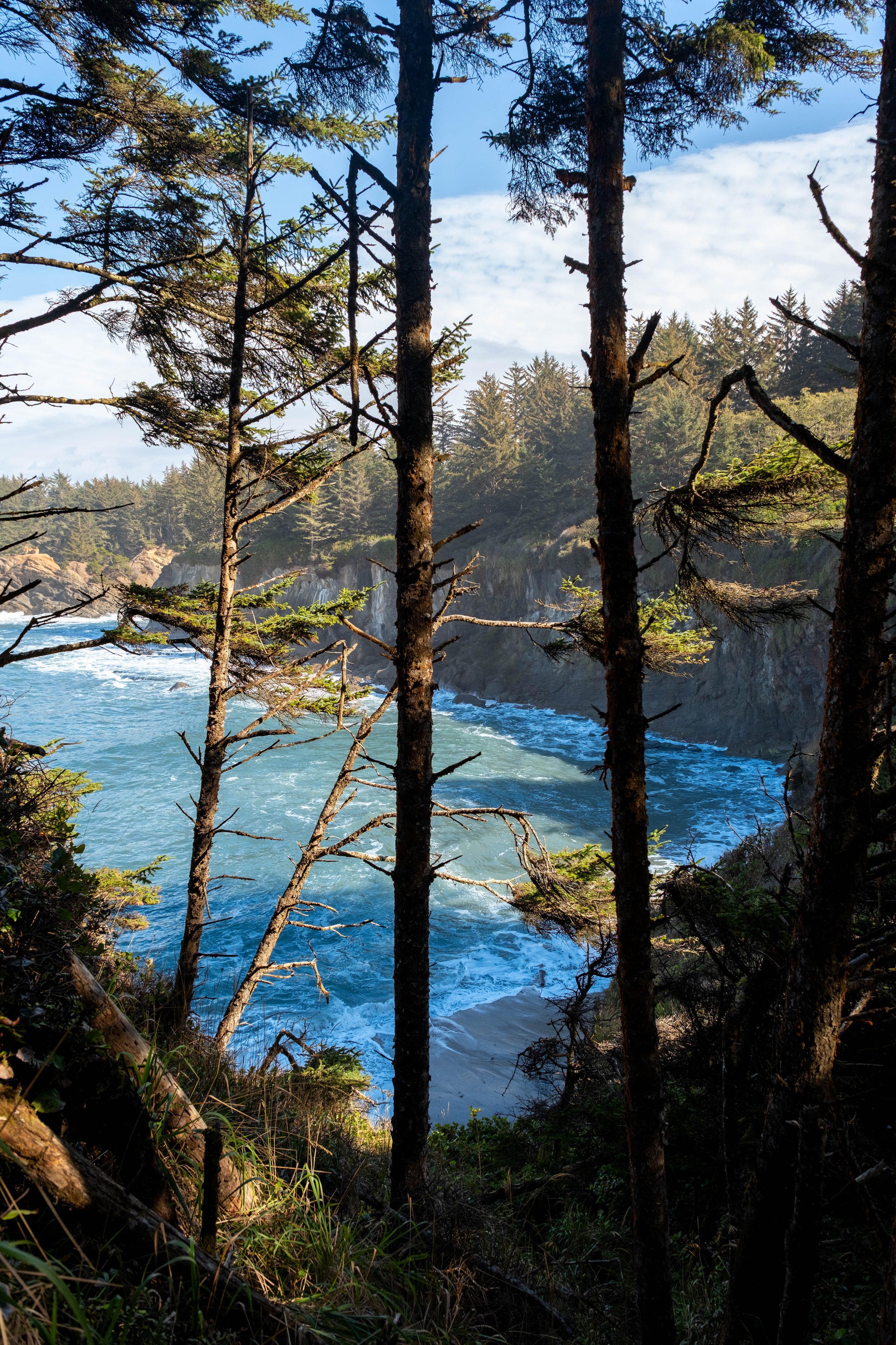
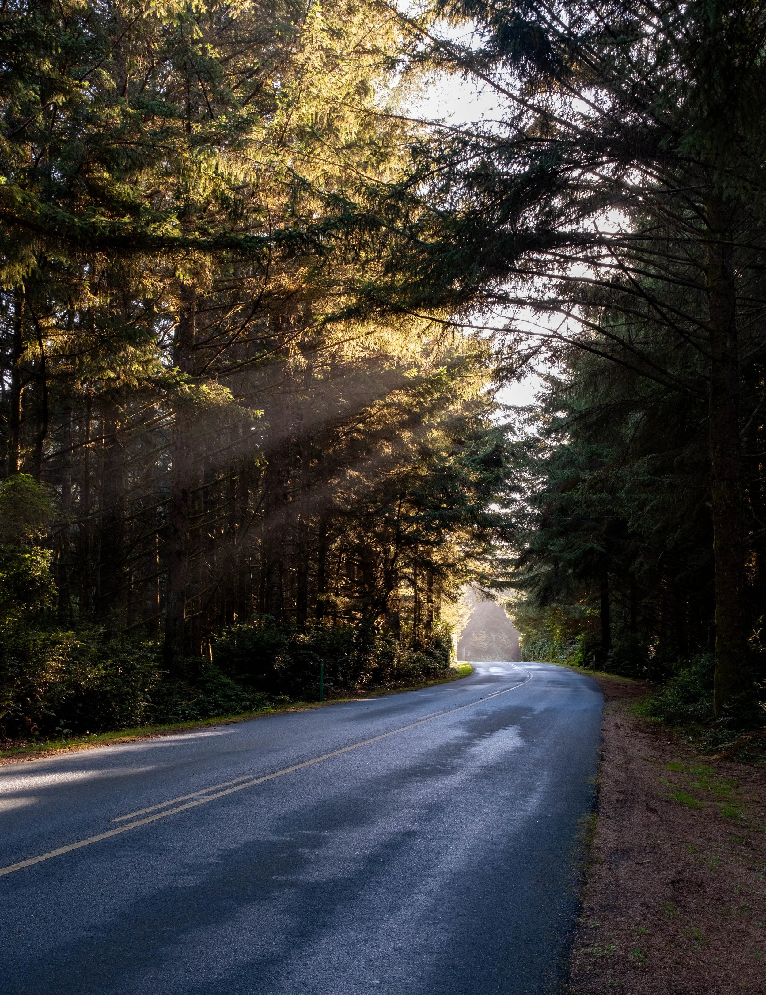
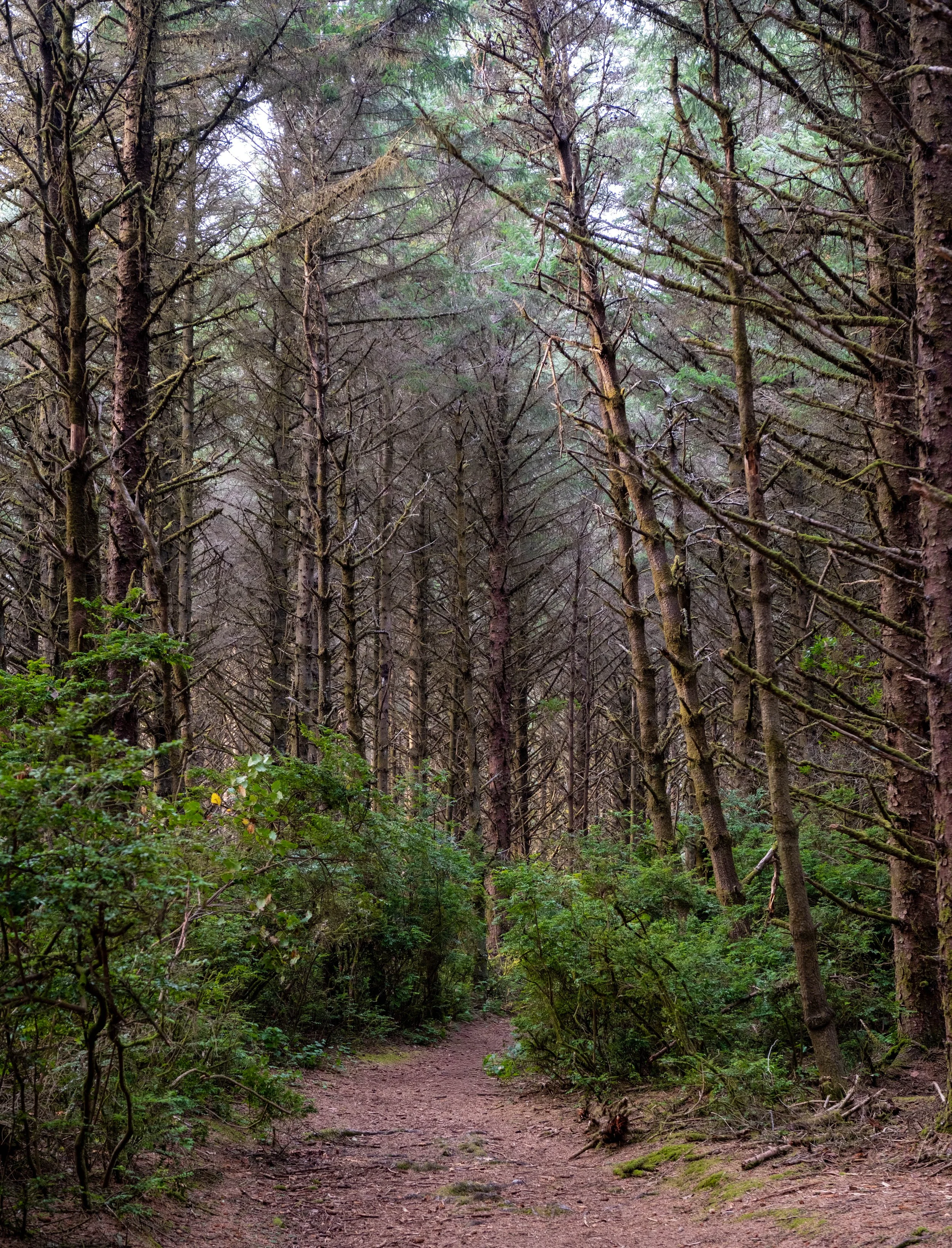
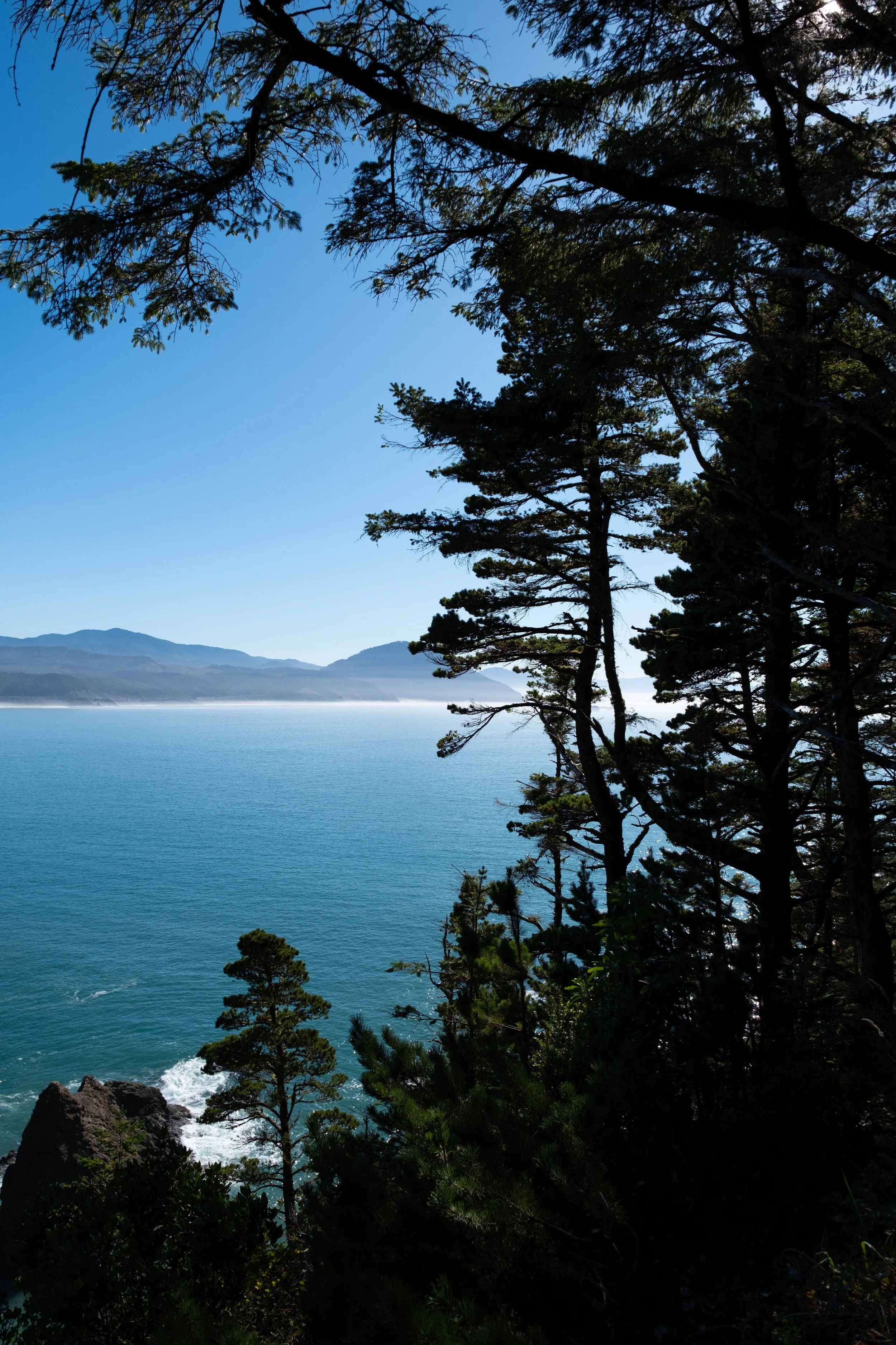
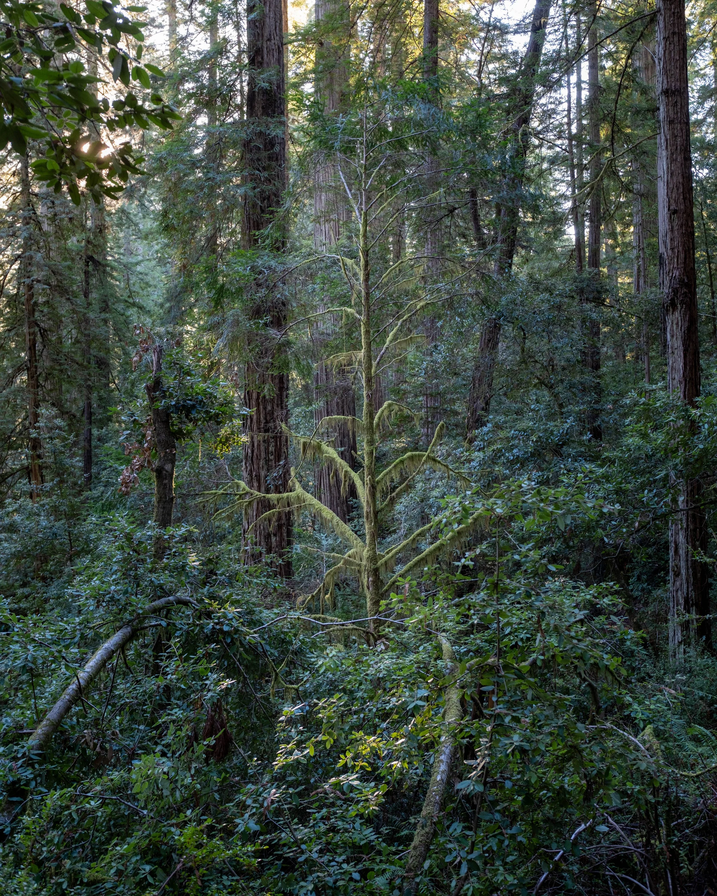
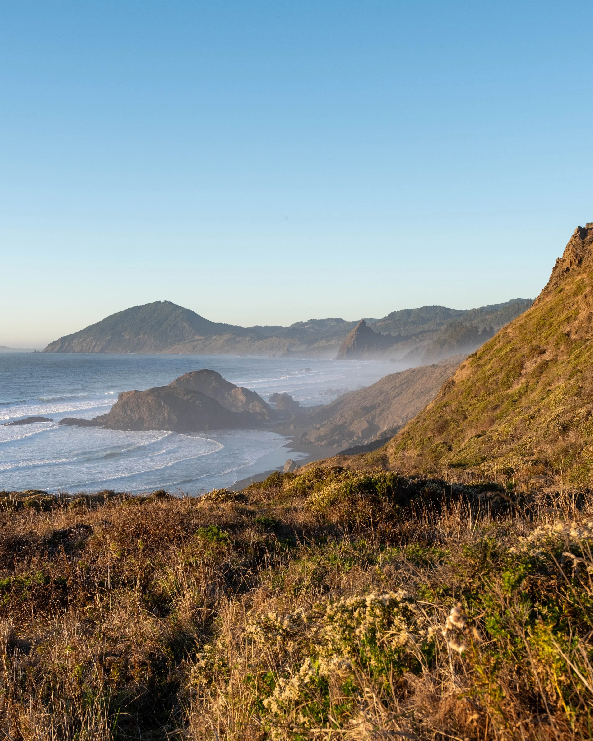
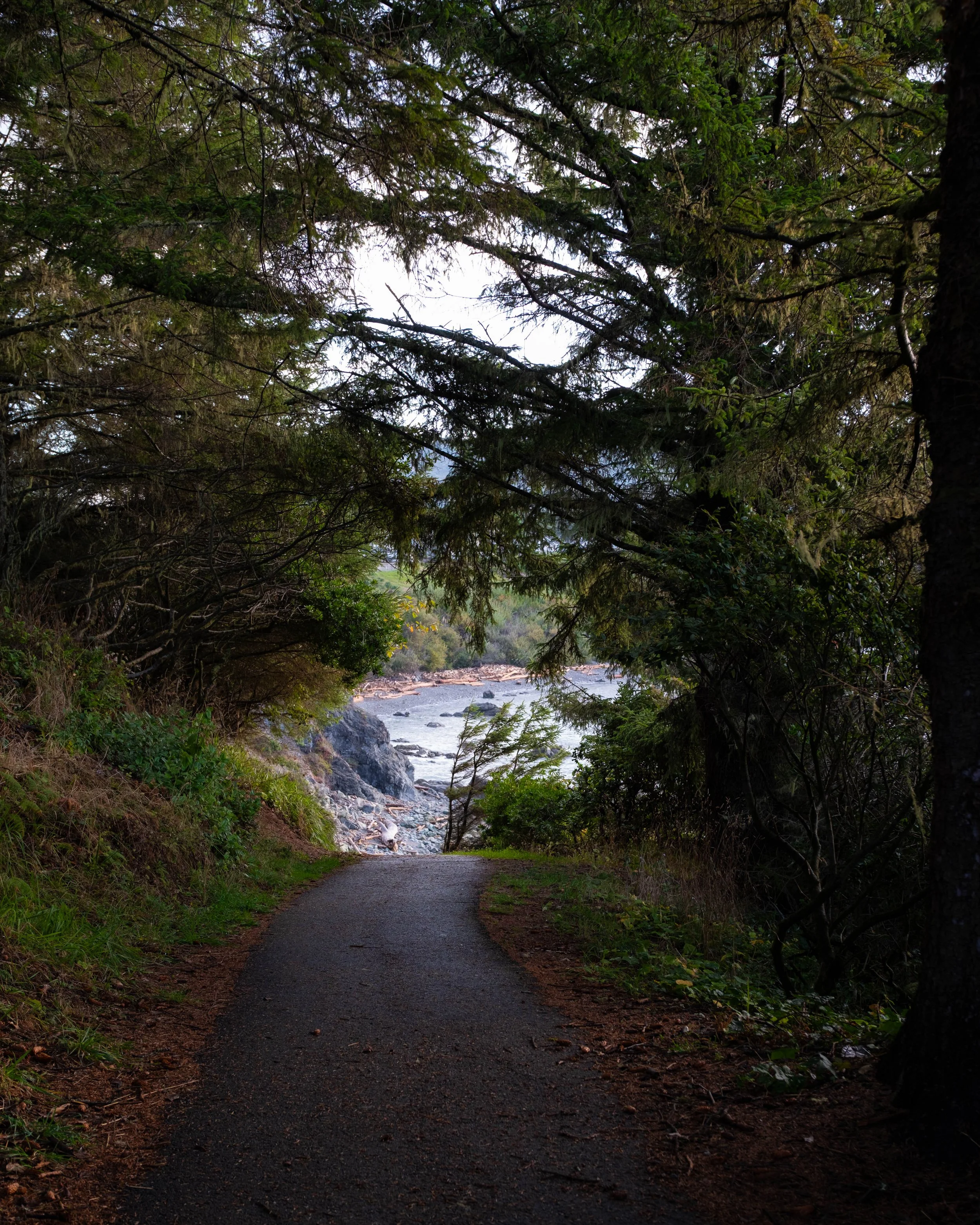
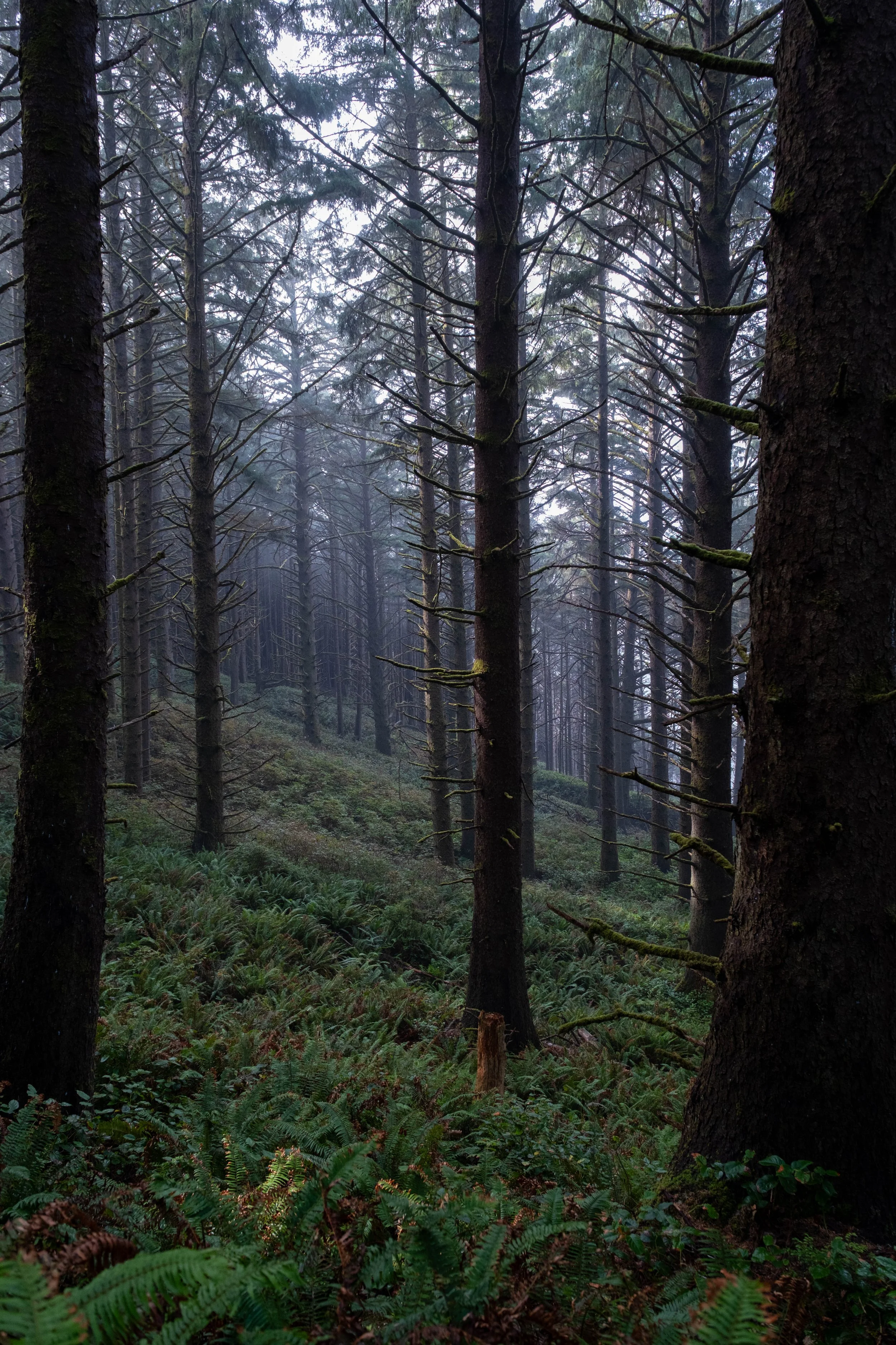
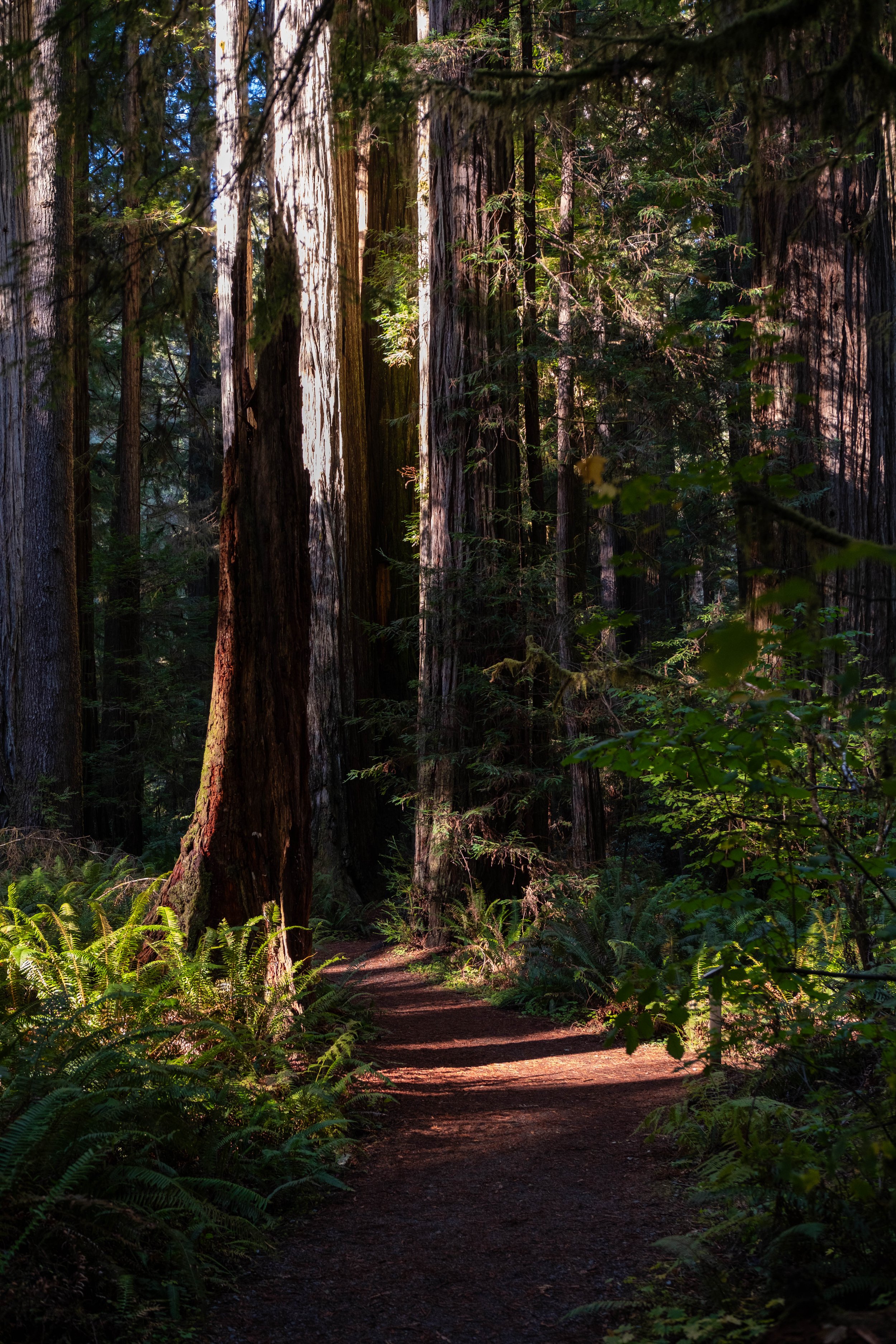
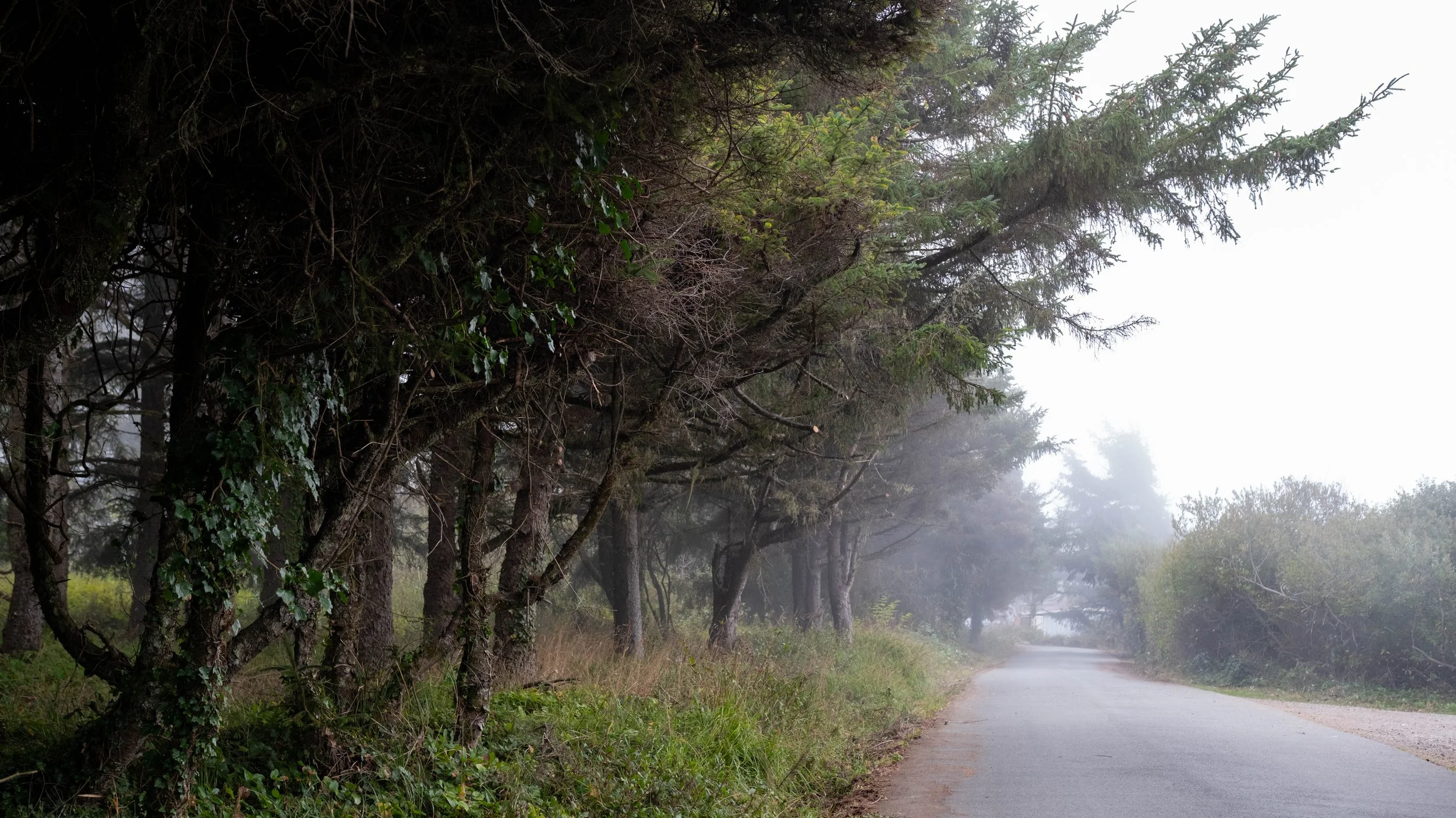
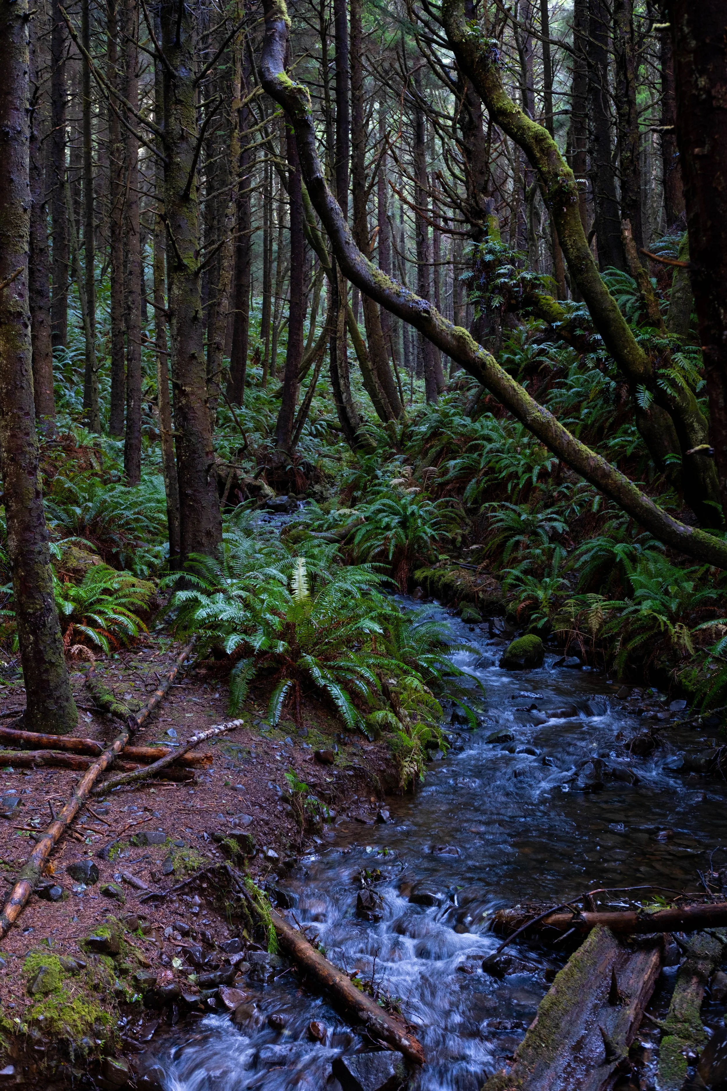
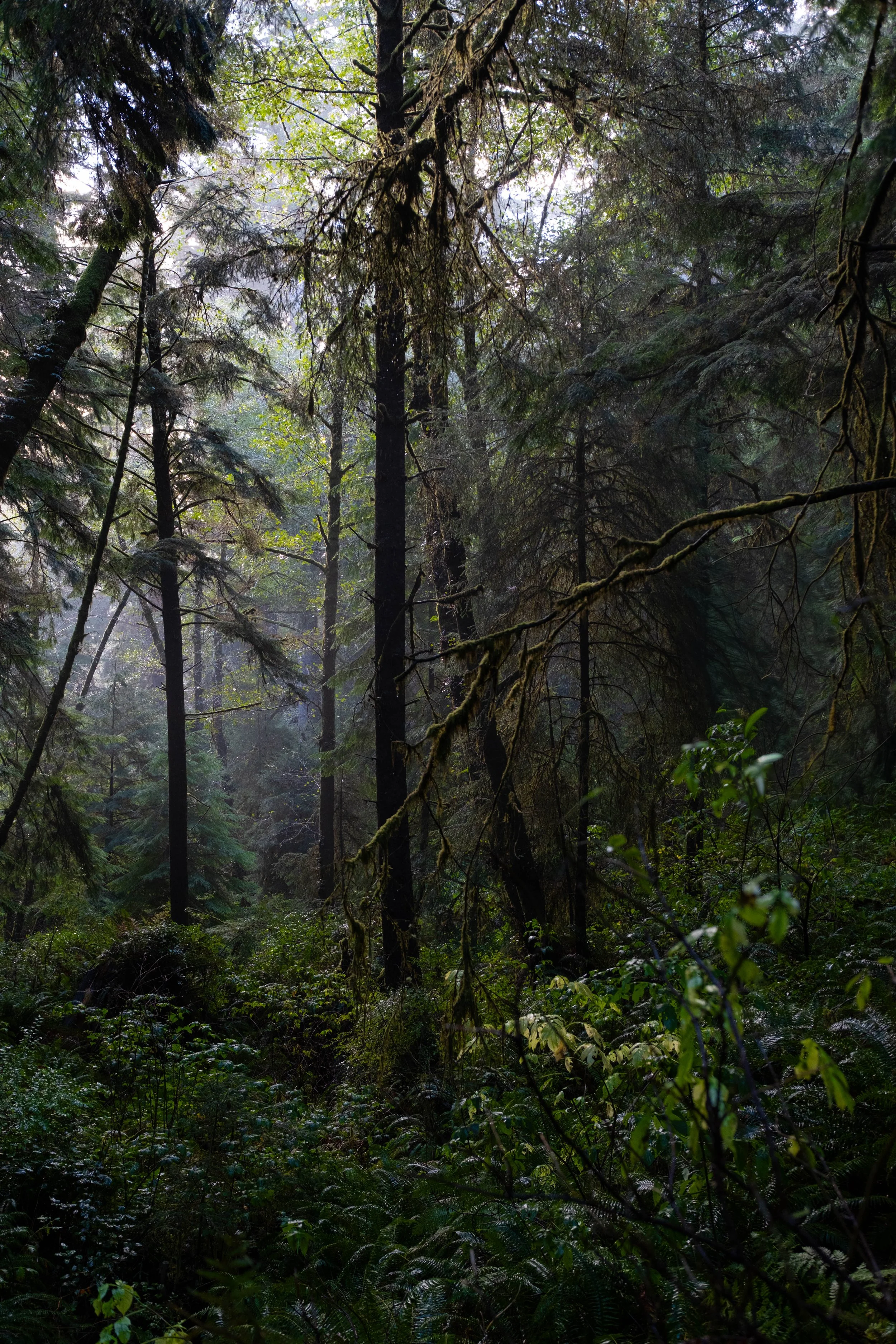
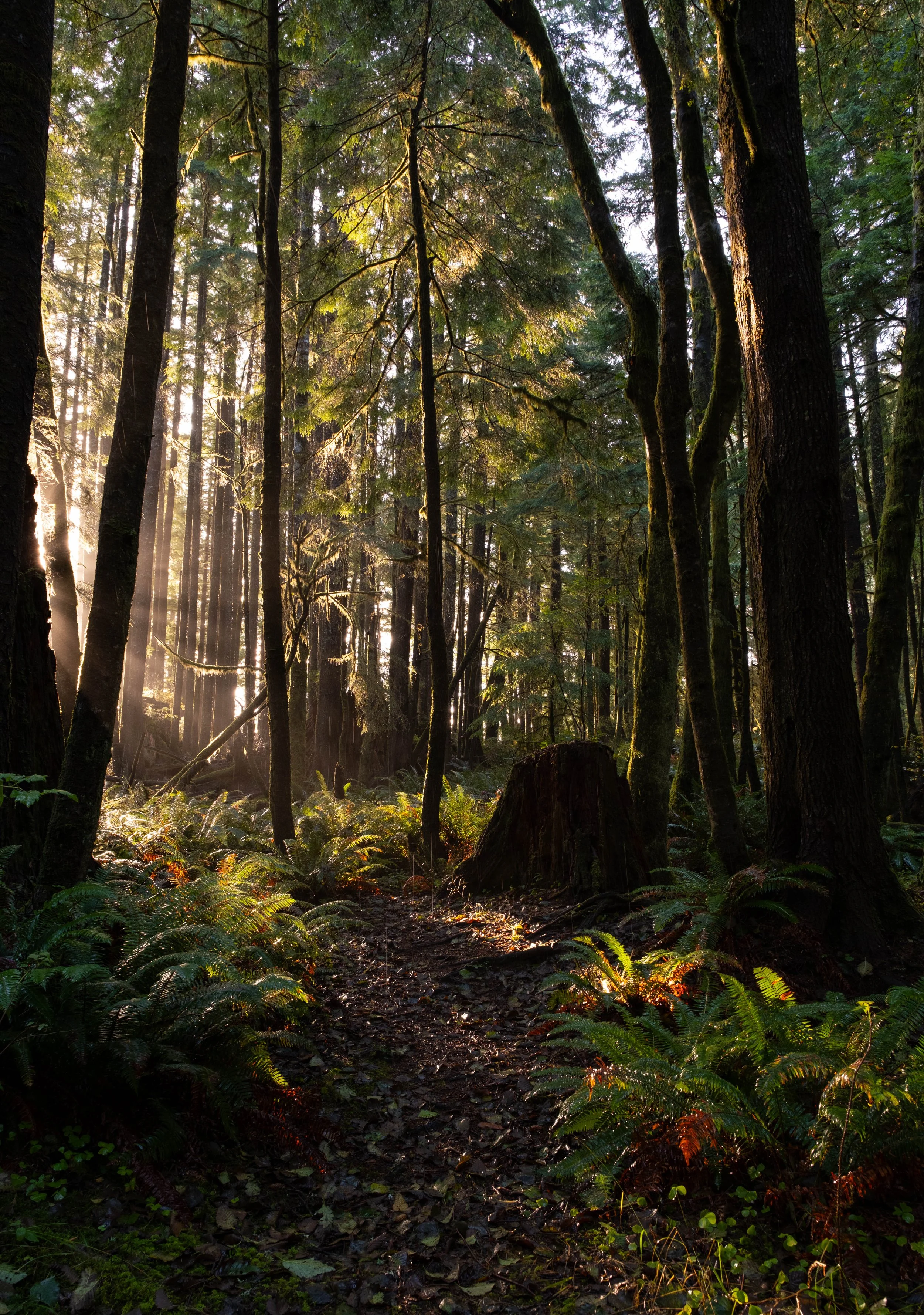
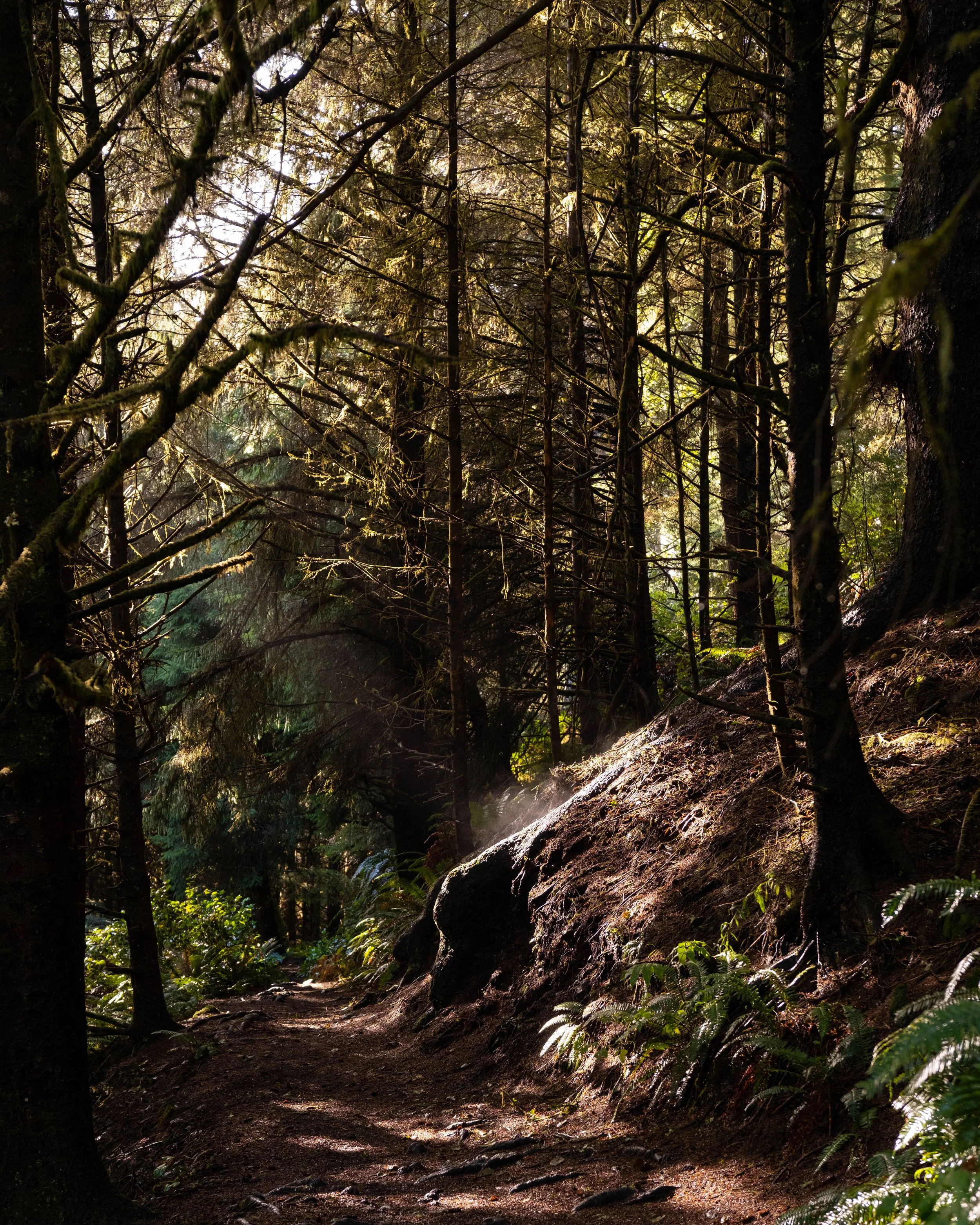
Now, since I have to assume most of you haven’t been to Ecola, you have to imagine driving through old growth forest so thick and lush that it takes your breath away. Dark with impossibly large pines, ferns wet from mist and rain, moss covering large boulders and dead trees. It is one of the most magical approaches to a state park I have ever seen, and I don’t know that it will ever get old. Unfortunately for all of you, the only thing I can do is describe it because the road is narrow and winding and has nowhere to pull over. One day I will park up at Indian Beach and walk back to take pictures… and hopefully not get run over in the process.
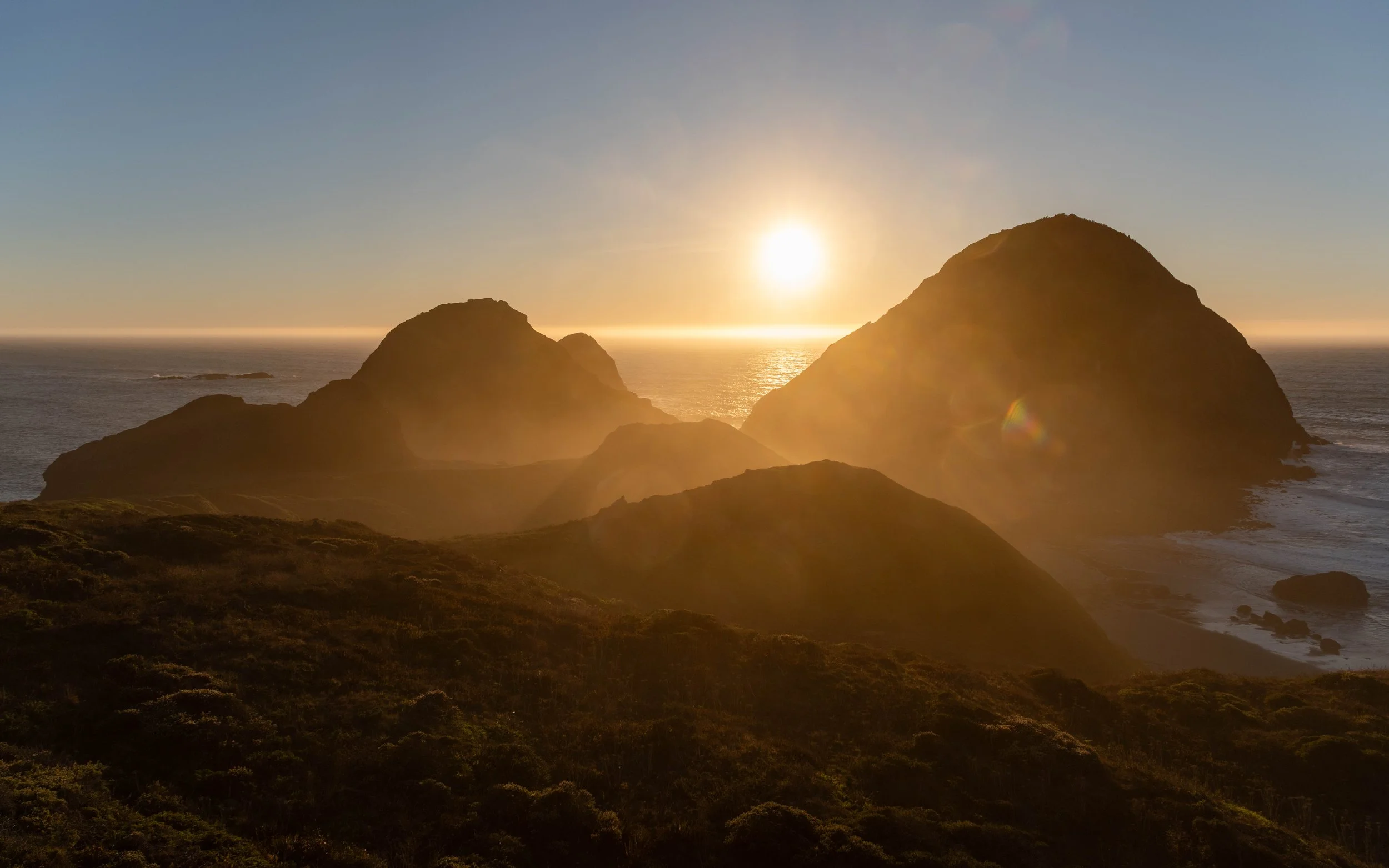
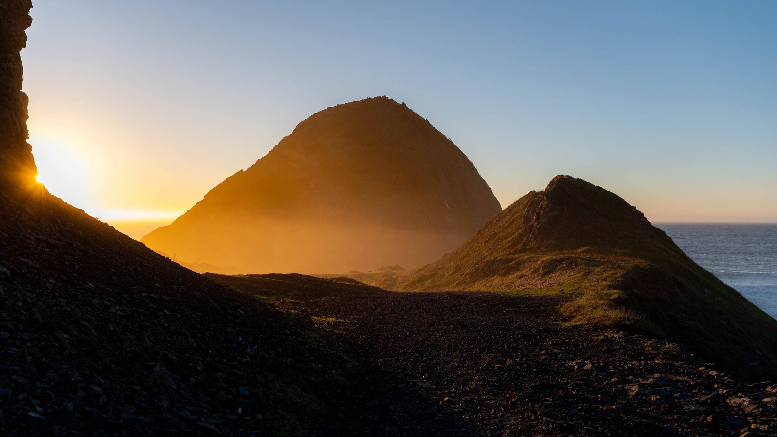
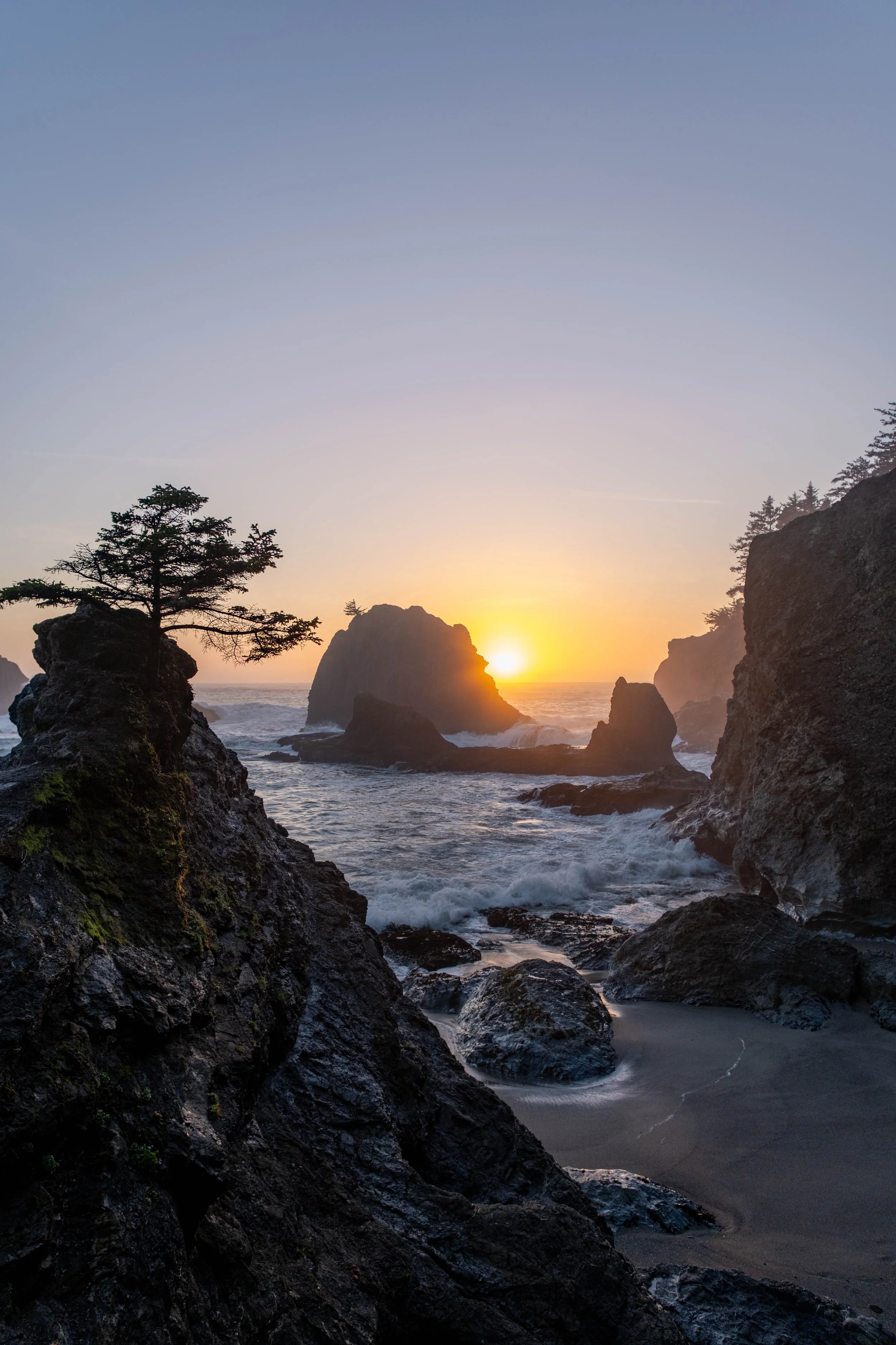
Take the following two images from the trail and imagine even more dense, dark, beautiful lushness. That’s what the road into Ecola looks like.
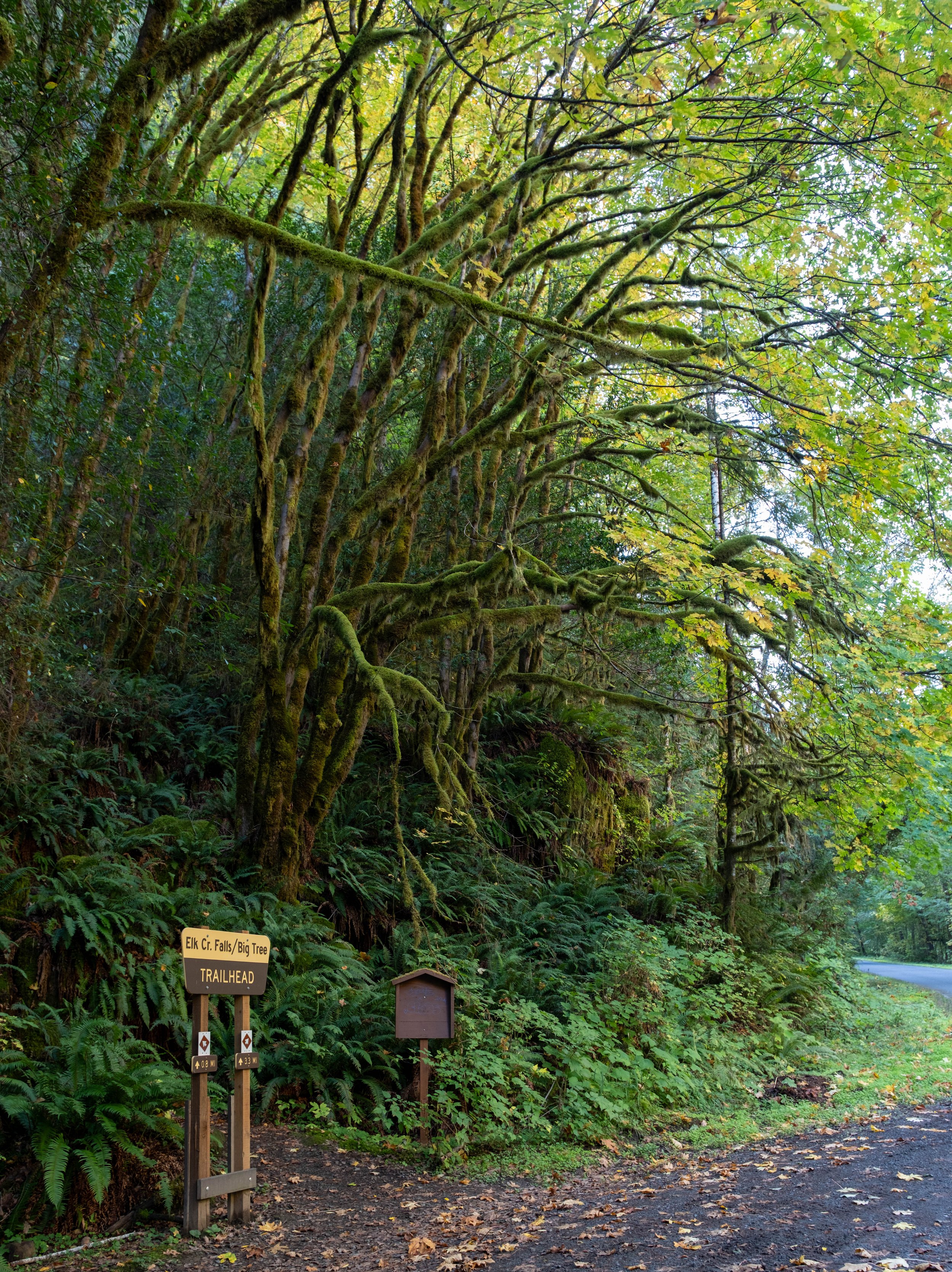
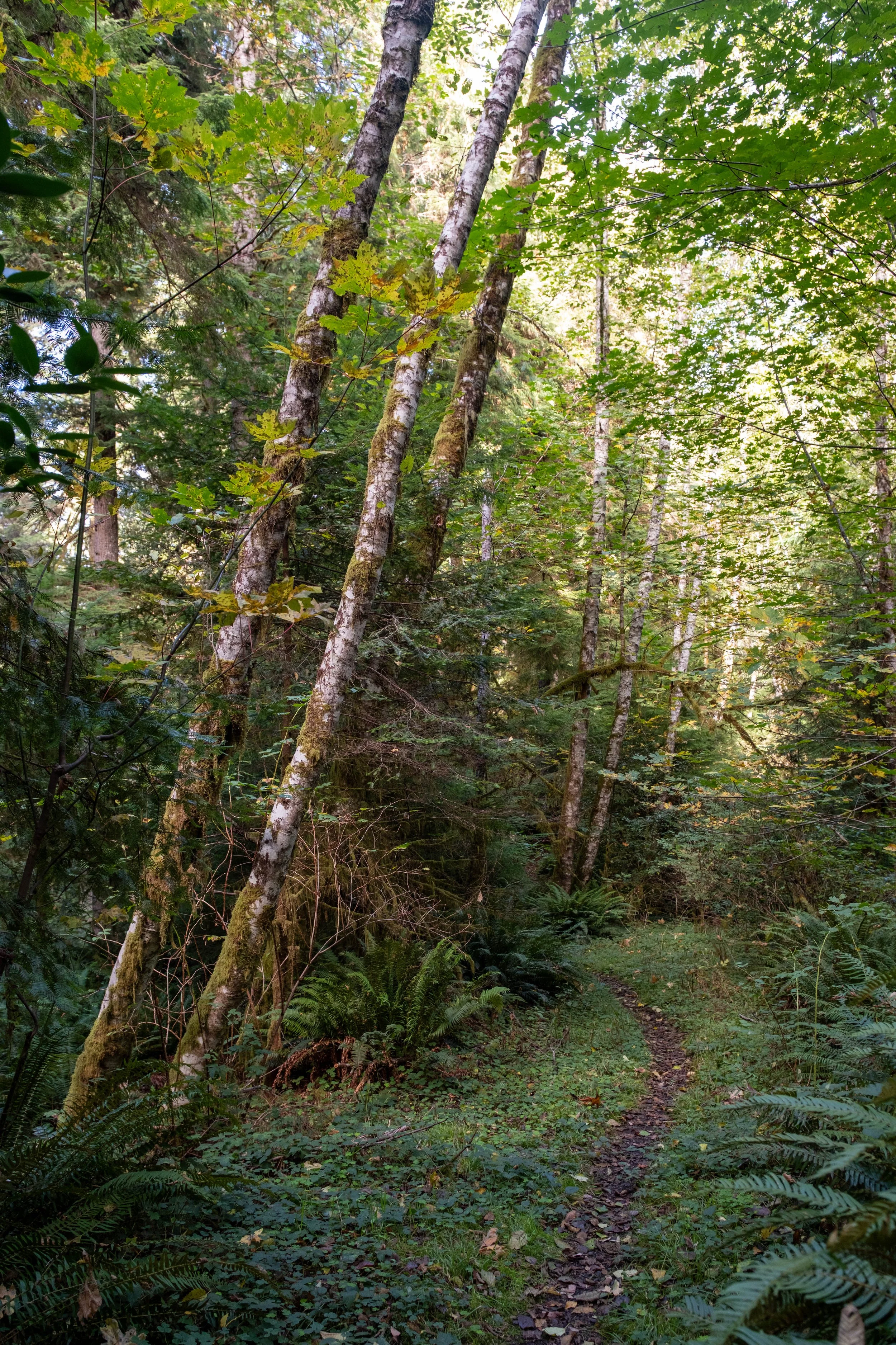
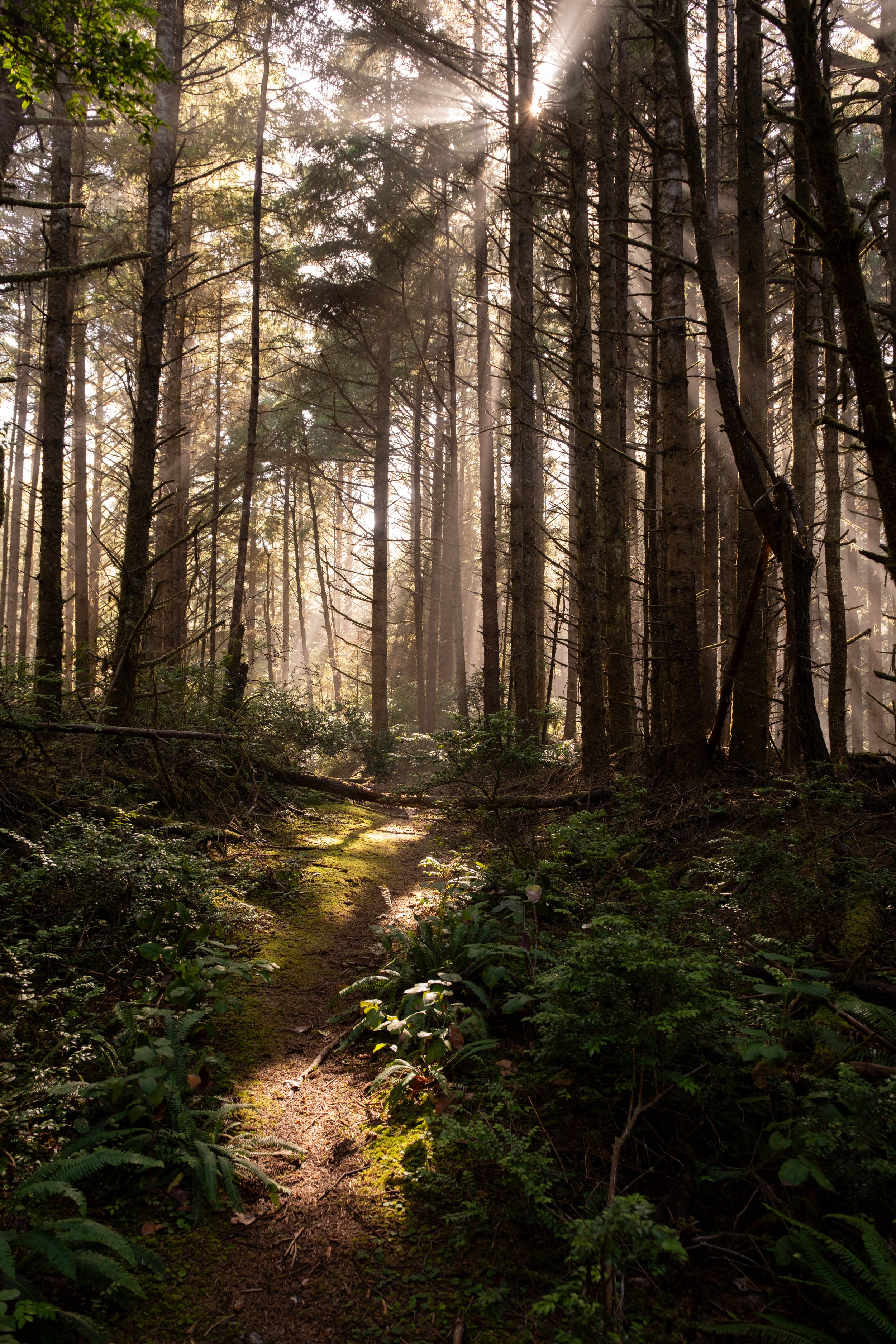
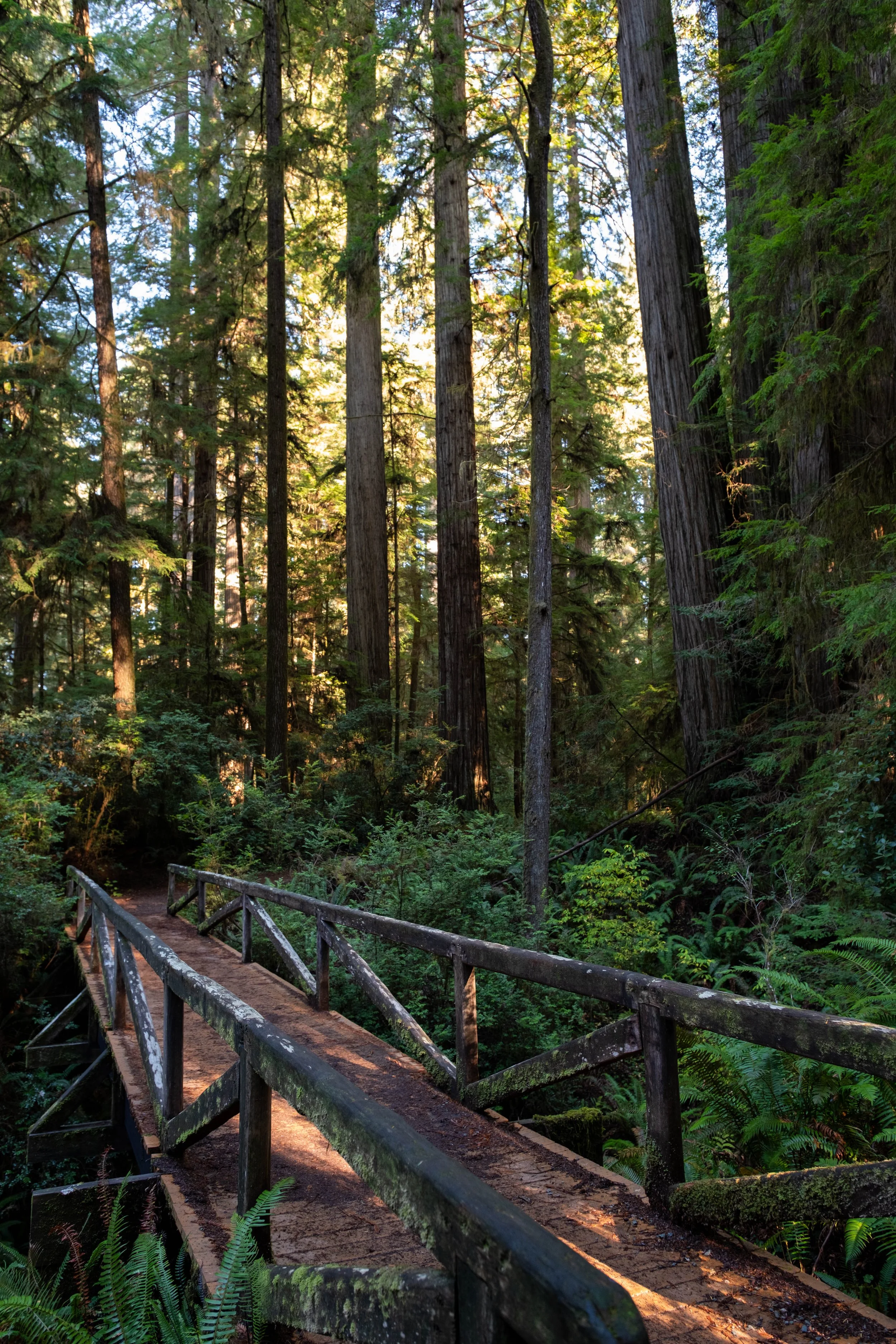
The ascent was on an old fire road, so while the climb was relentless and steady, it was a wide path and easy to navigate. Then things started to get interesting. The bushwhacking experience from Yoakam Point was starting to come to mind, even though this was technically a properly maintained trail. I was perfectly fine with all of that right up to the point where I came face to face with a large spider who had decided to build his web between the tall shrubs on either side of the trail. There was no way to get around him, and if I decided to turn around, it would involve more than 2.5 miles of backtracking.
I am borderline phobic about spiders. I’ve had bad experiences with them in the past, and here I was, alone in the woods with no good options. I found a stick that wasn’t nearly long enough for the sake of my sanity, and set about gently breaking the web on one side to clear it from my path. It slipped down, and the spider (justifiably annoyed) climbed back up the shrub and sat there at face height on a leaf right on the edge of the trail. The path was barely a foot wide, so this put me at a deeply uncomfortable distance from him. The universe was doing its best to test me, and while I was freaked out by his presence, that didn’t mean I wanted to kill him. After all, those woods were his home and I’m just passing through.
But goddamn he was RIGHT THERE. I started shaking the branches a bit to see if I could dislodge him or get him to move further away from the edge of the path. You know what’s worse than a large spider that’s right there? A large spider that you can no longer see, but he’s clearly somewhere close. I debated between crying and hyperventilating. Eventually, I gathered up what little remaining courage I had and pushed through, then spent the next 5 minutes imagining I could feel him on the back of my neck.
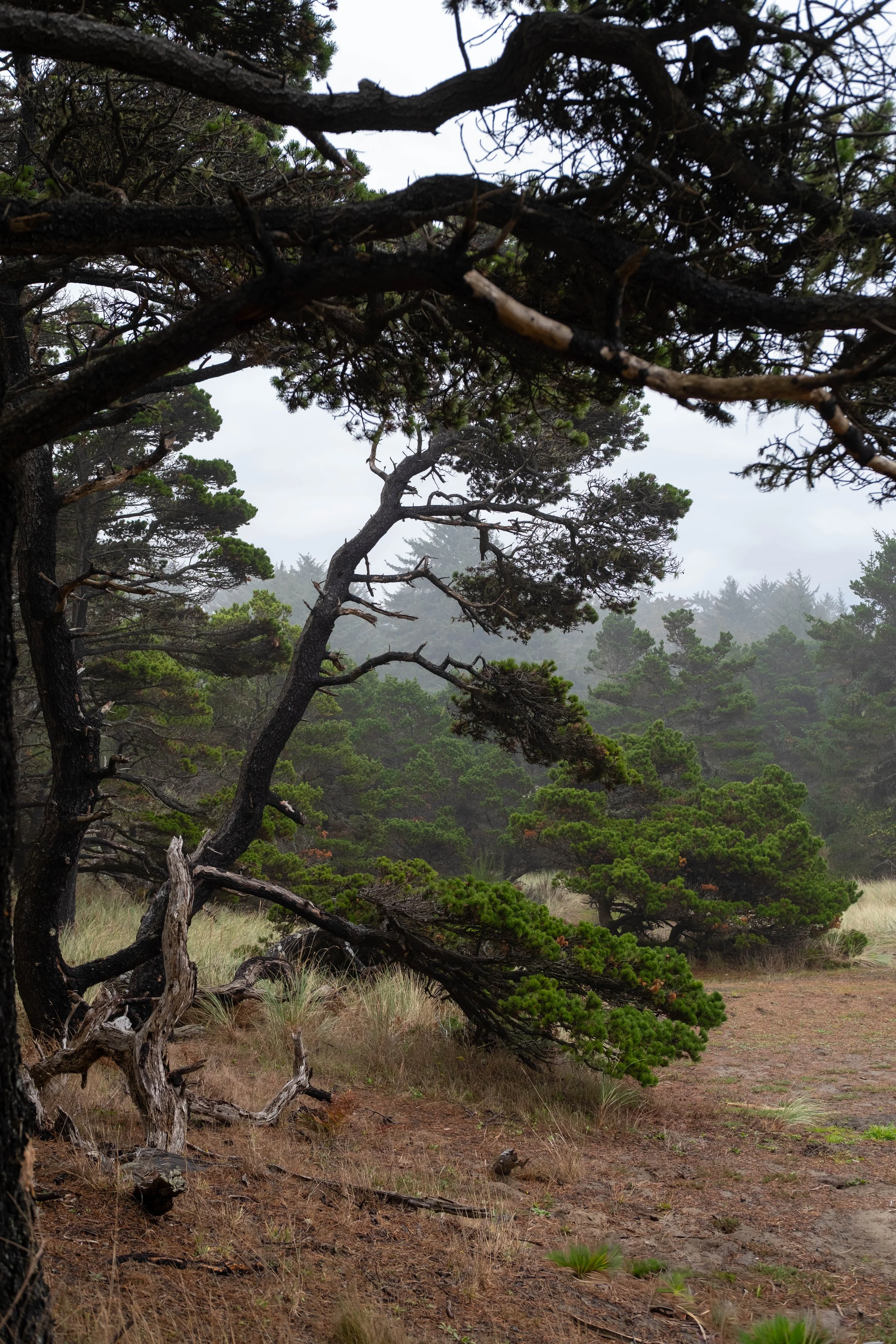
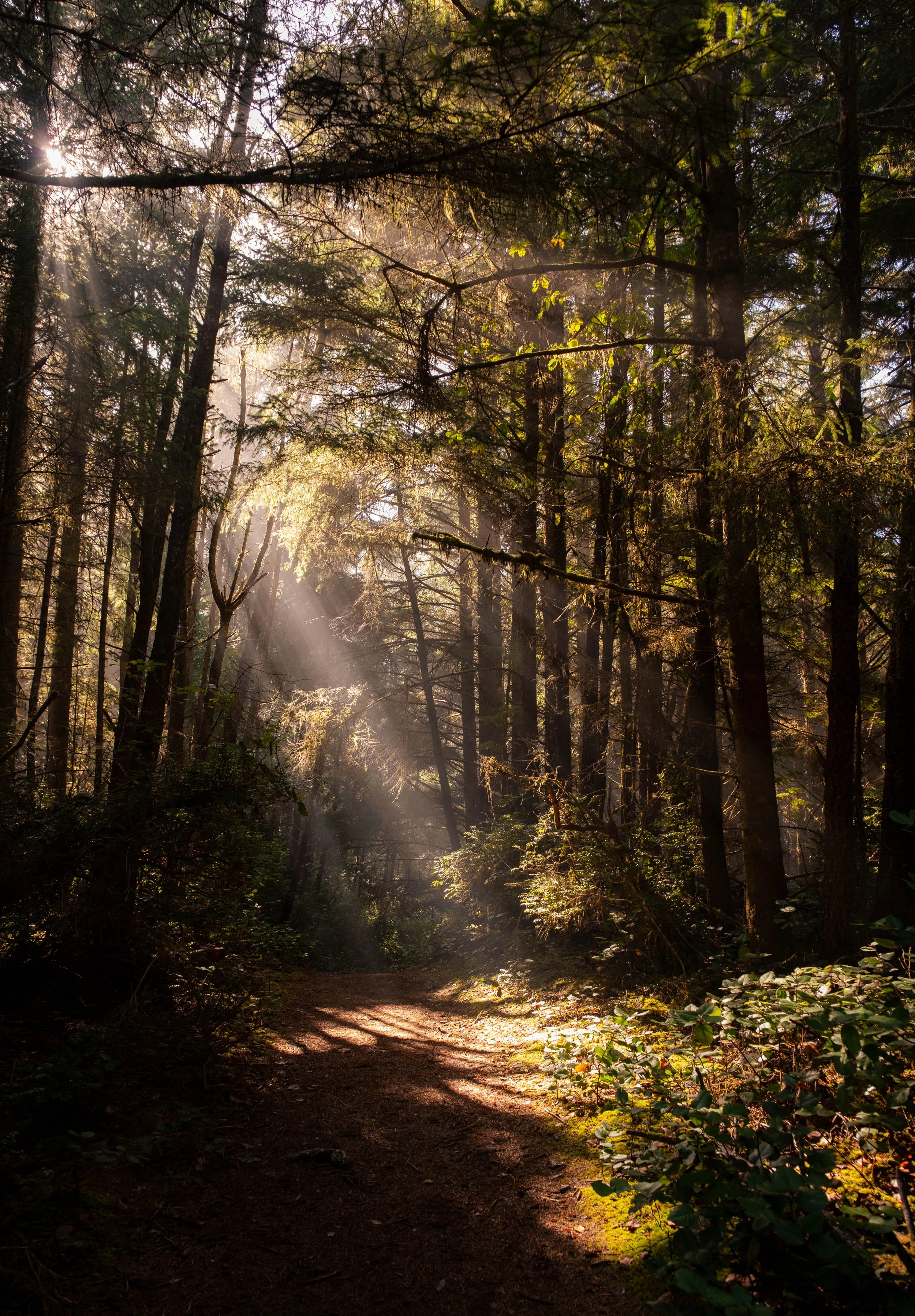
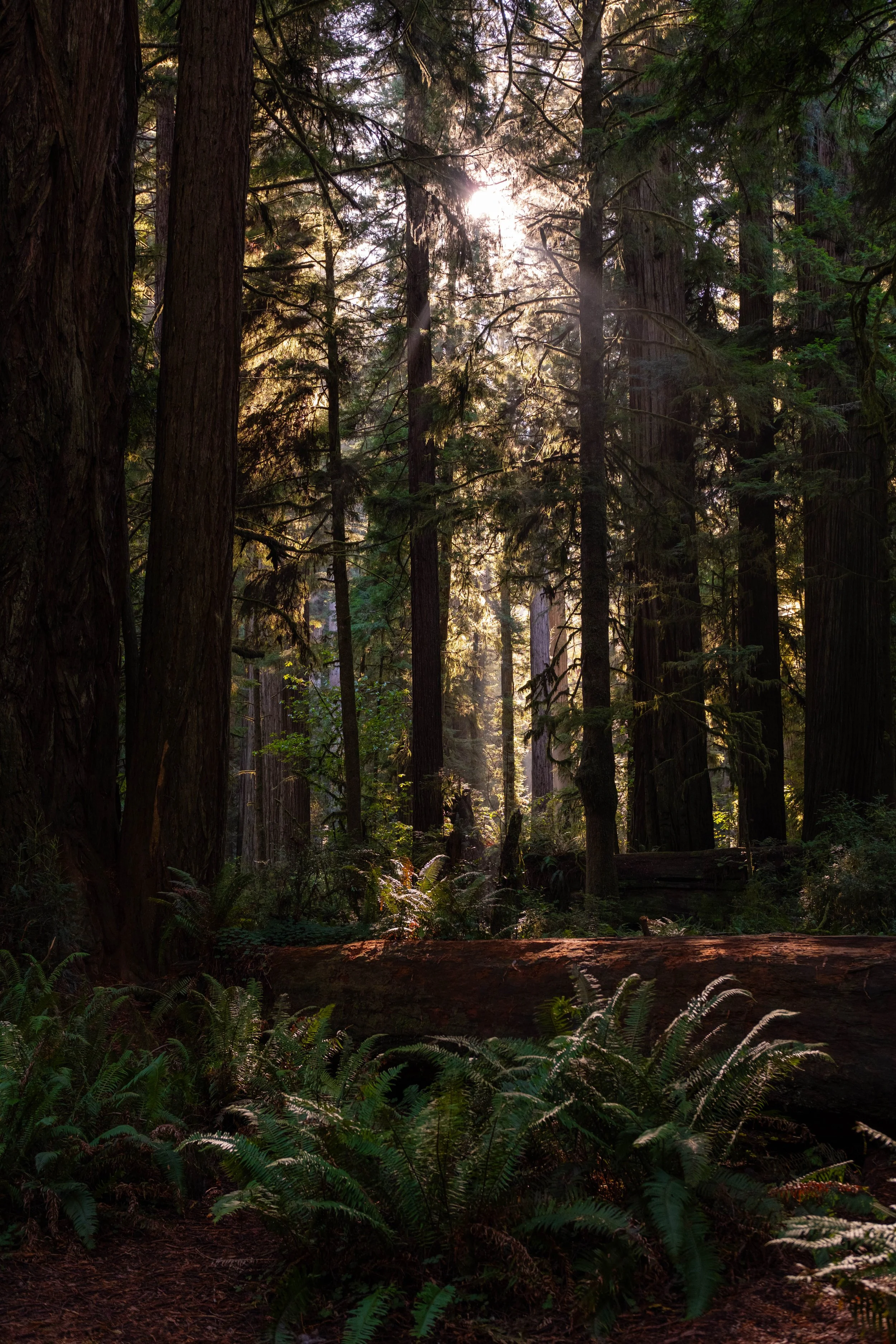
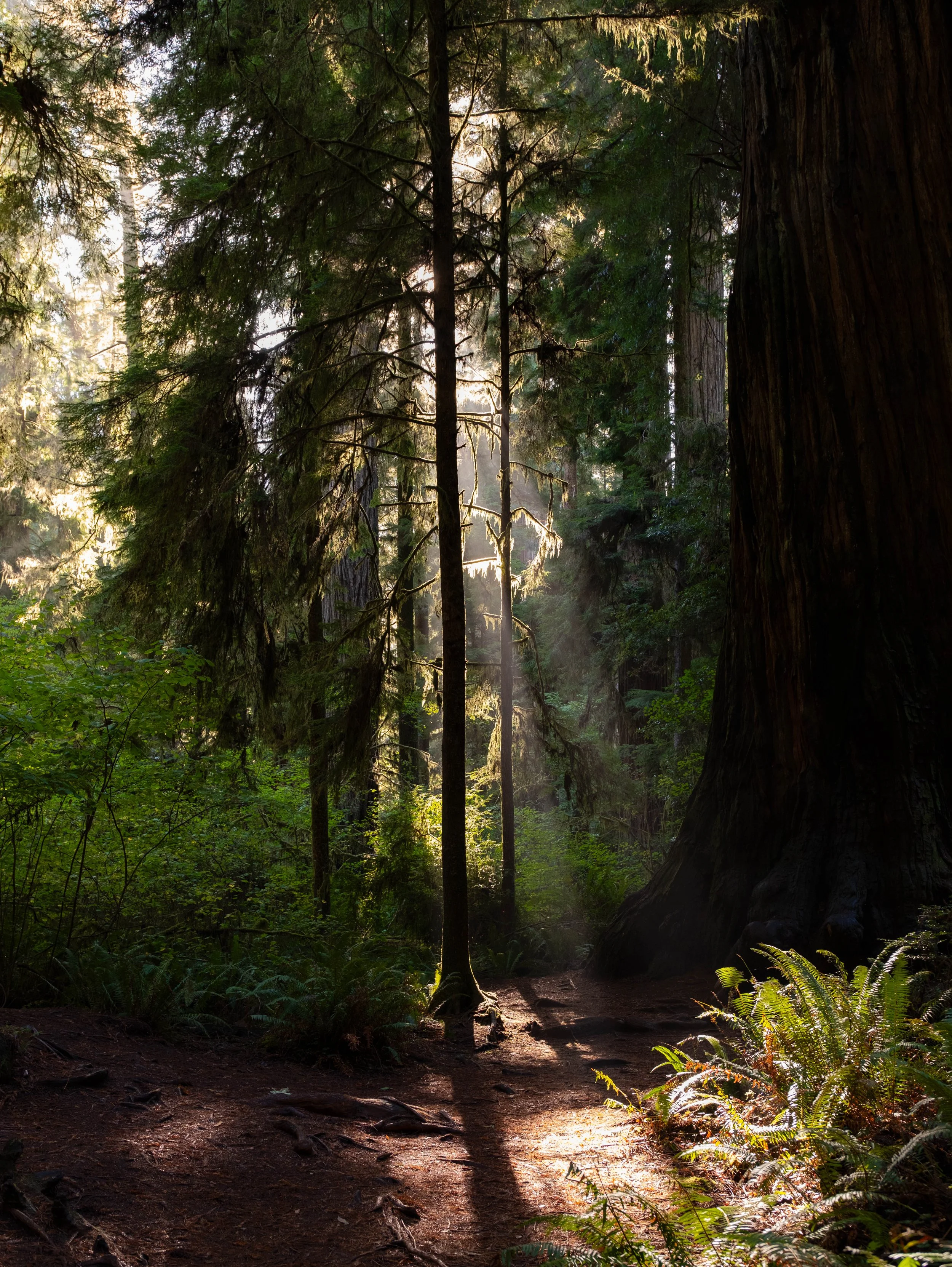
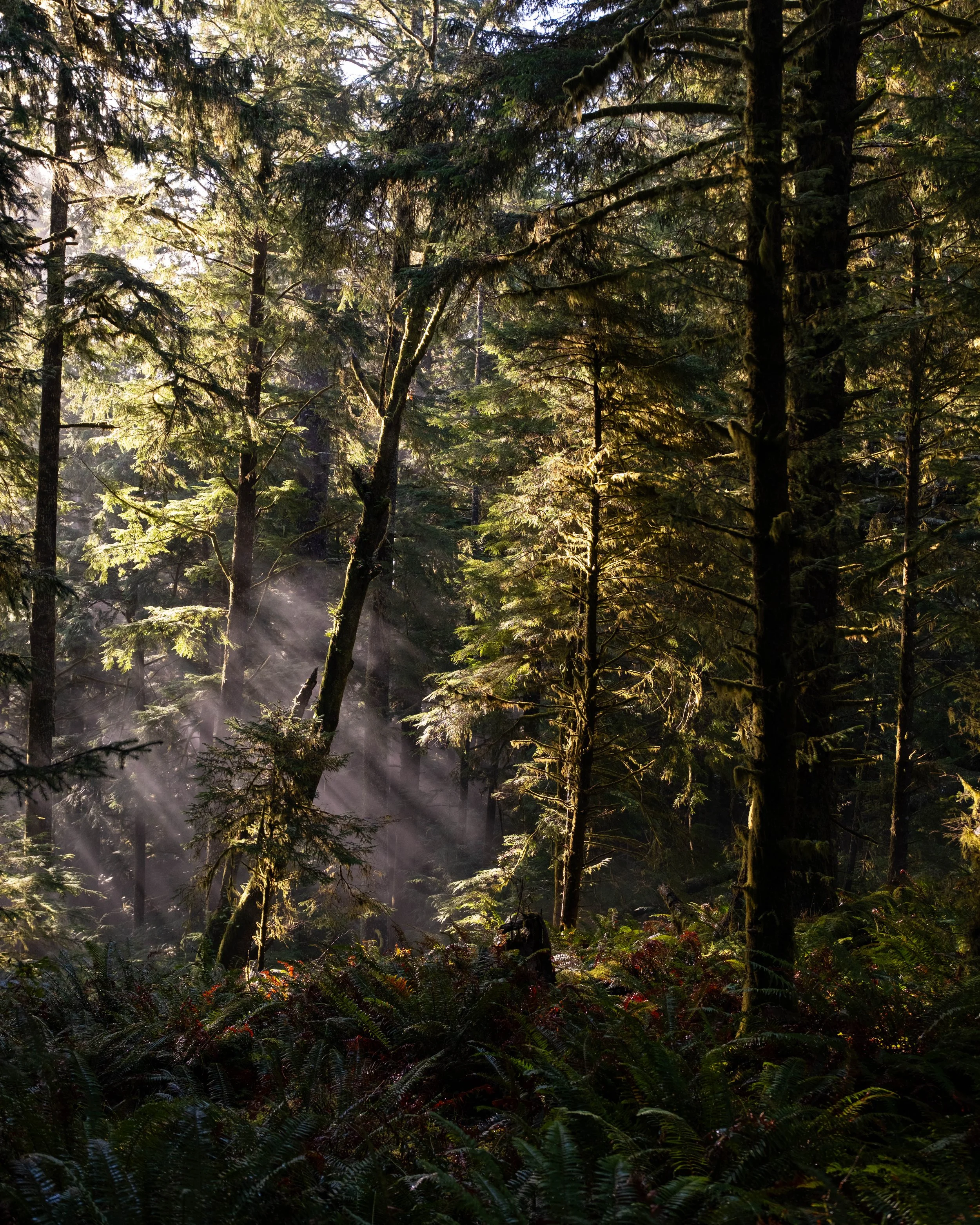
If you look closely, you can see the water dripping from the forest canopy.
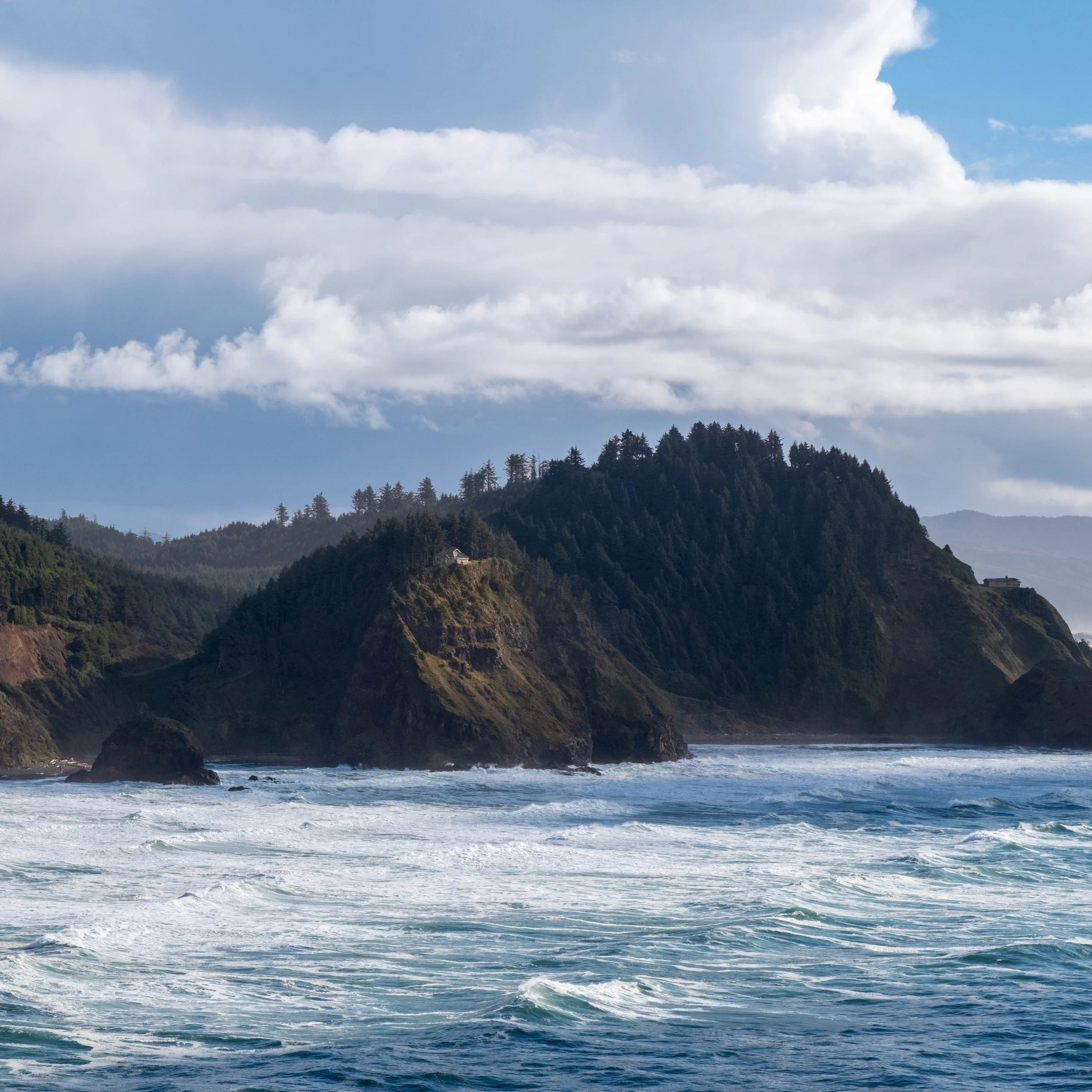
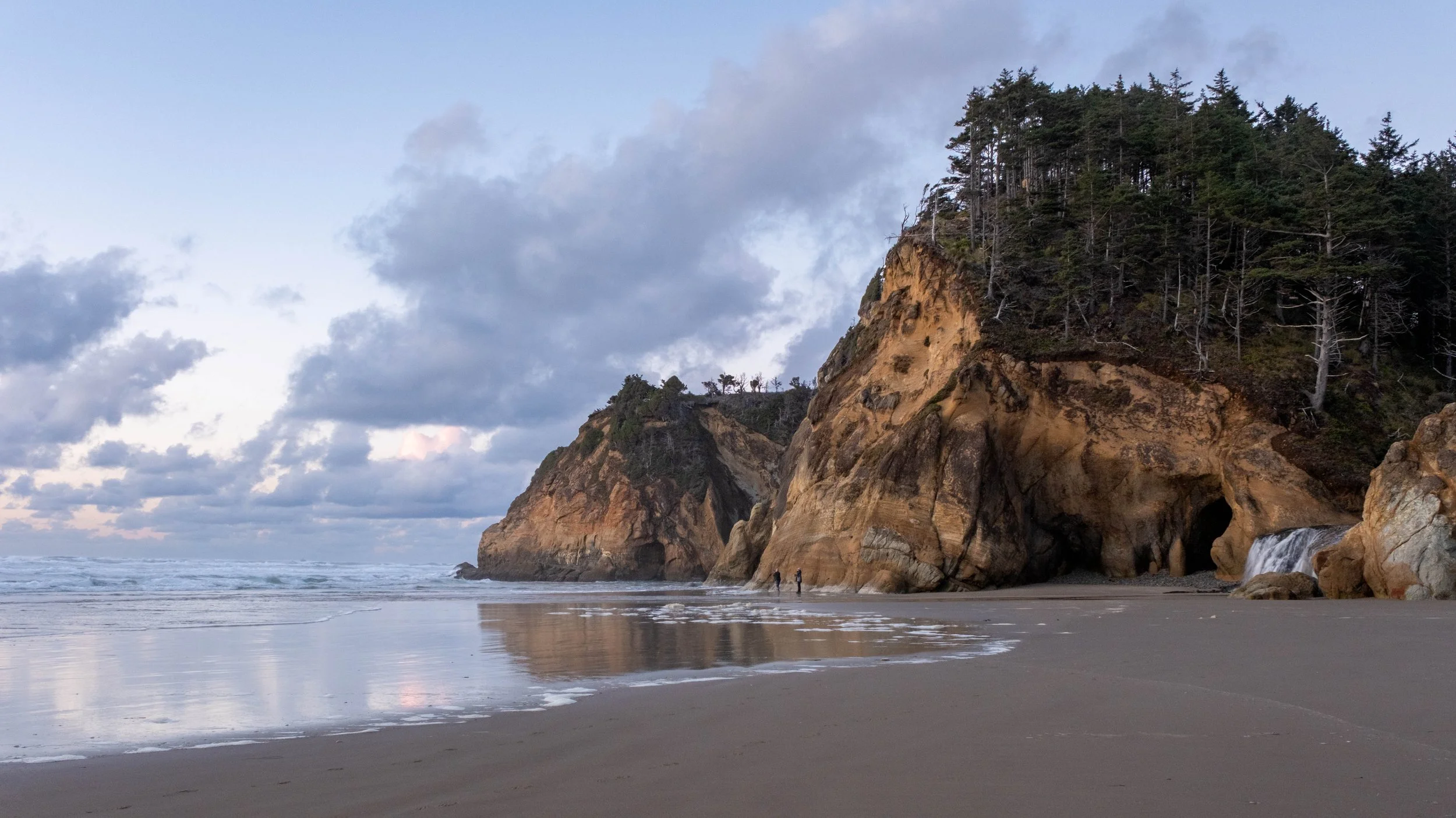
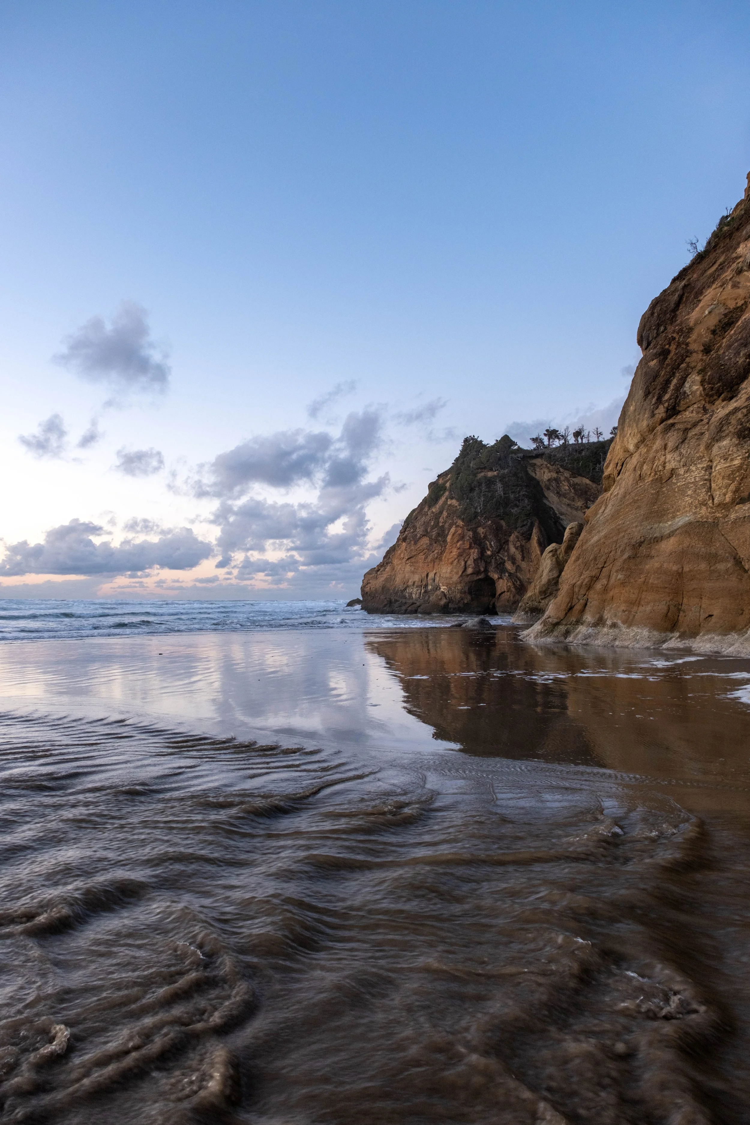
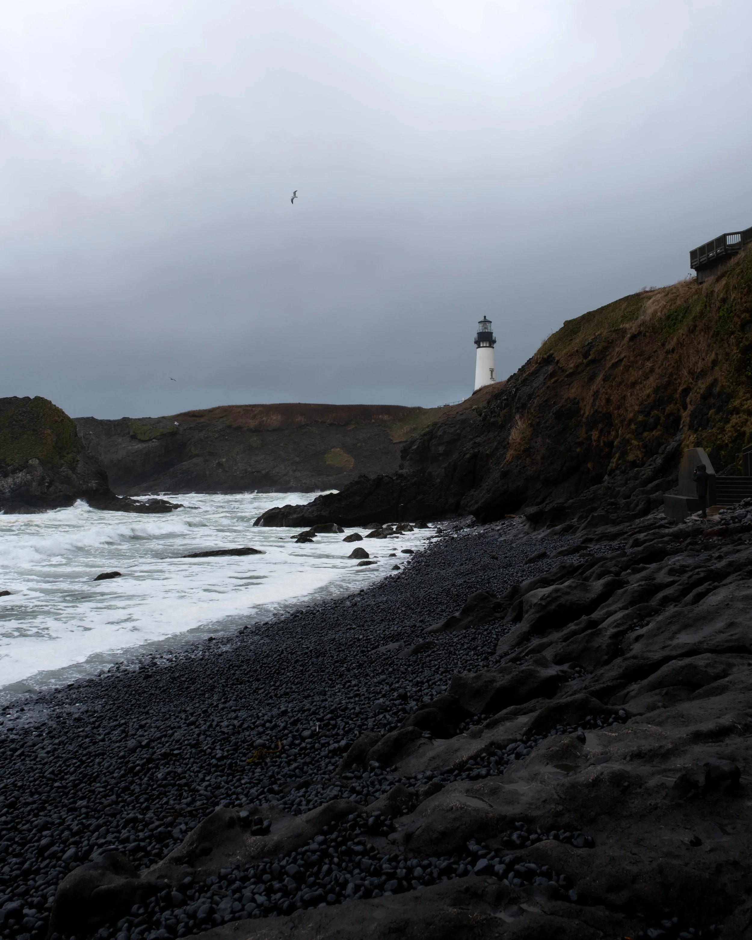
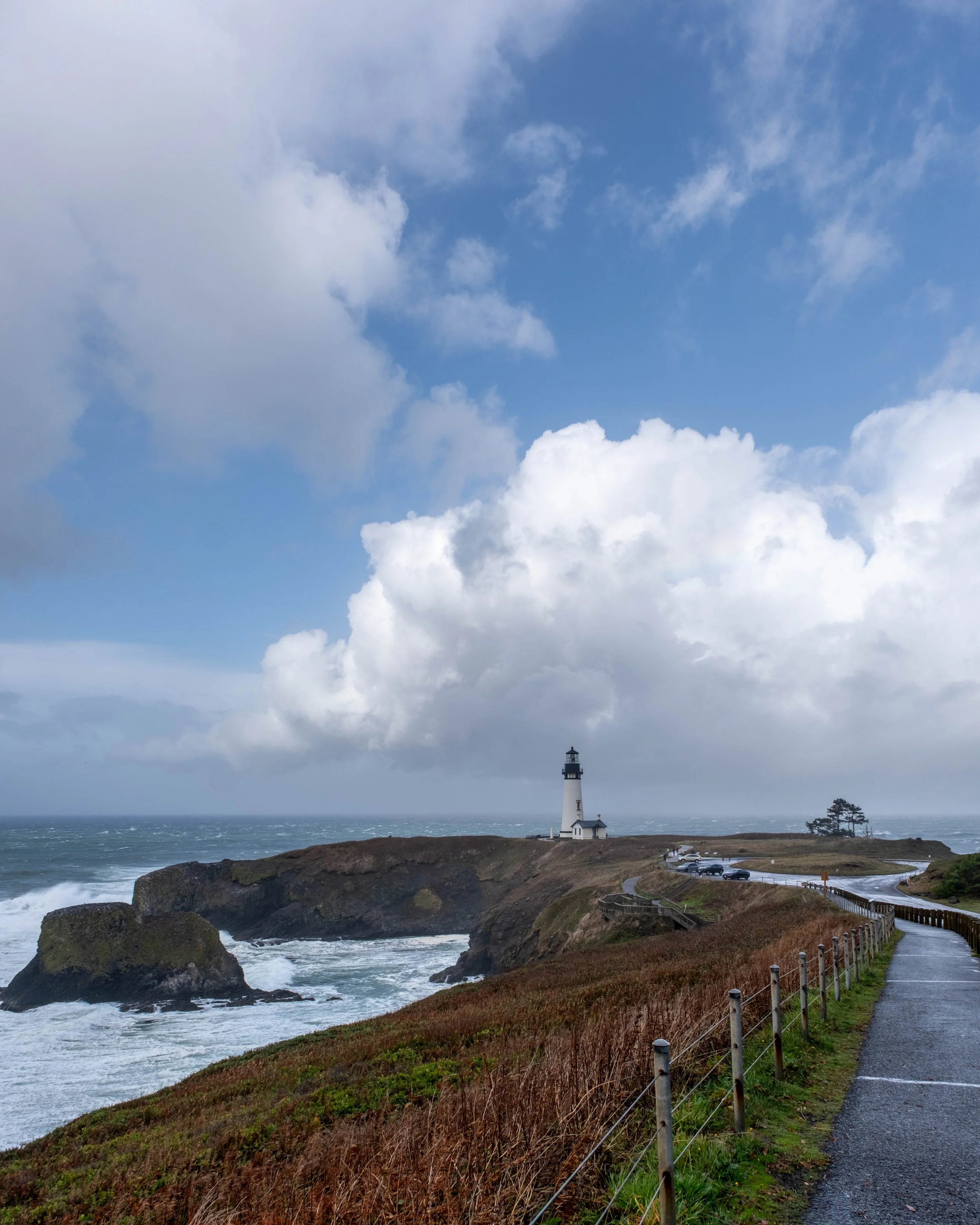
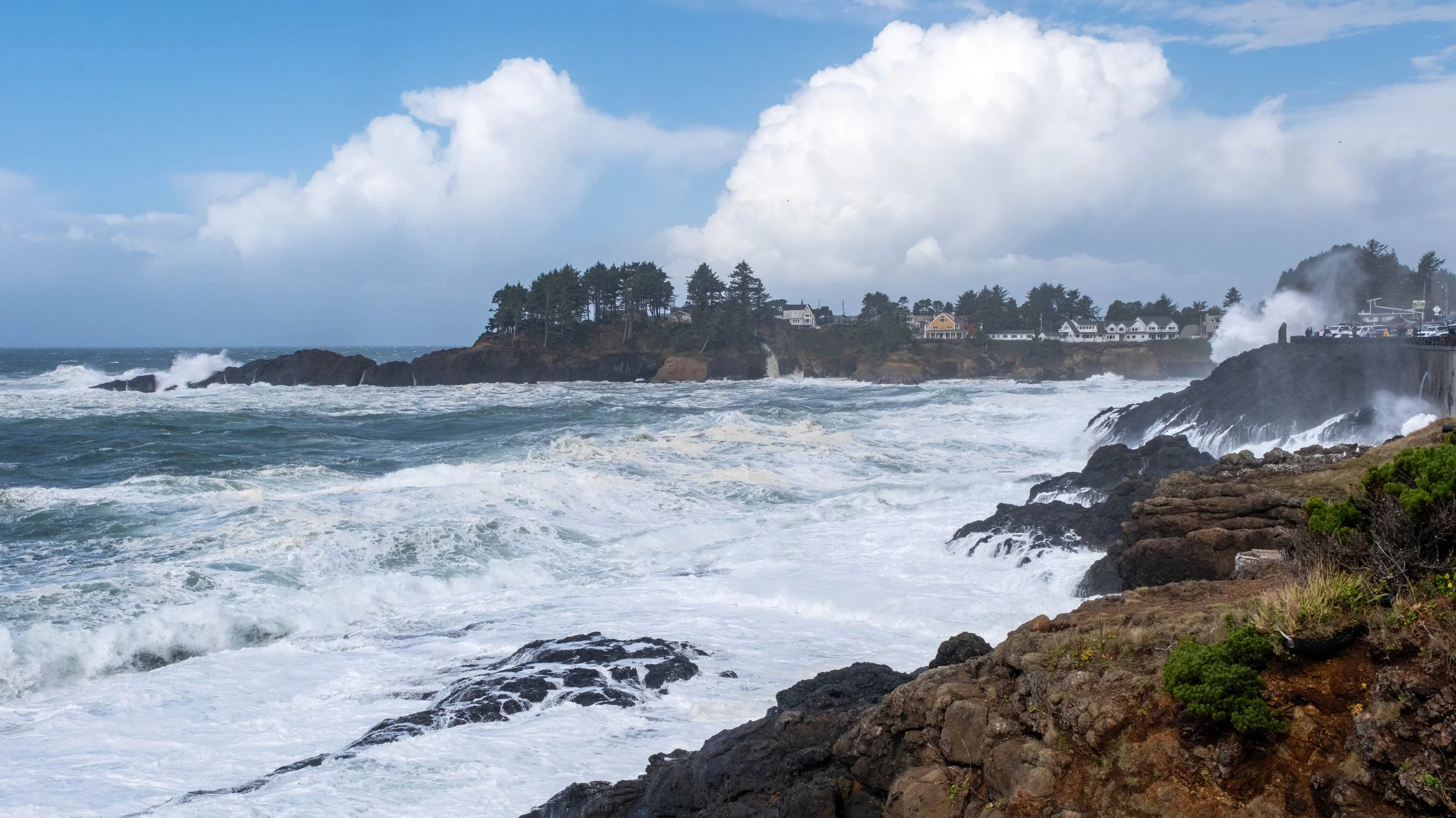
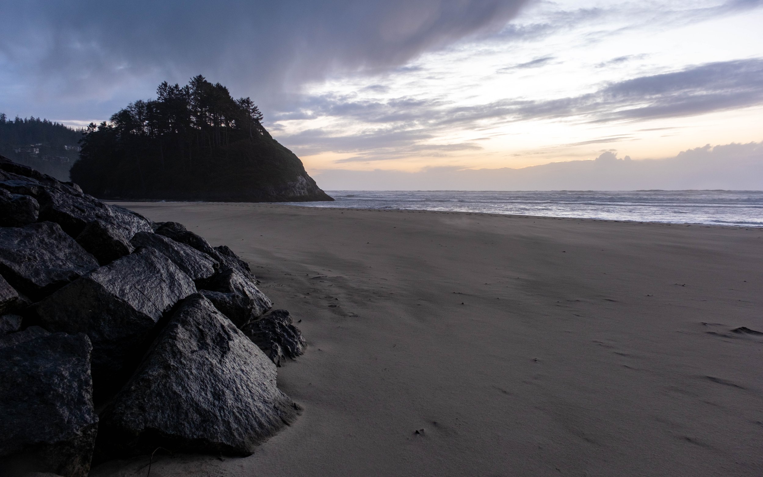
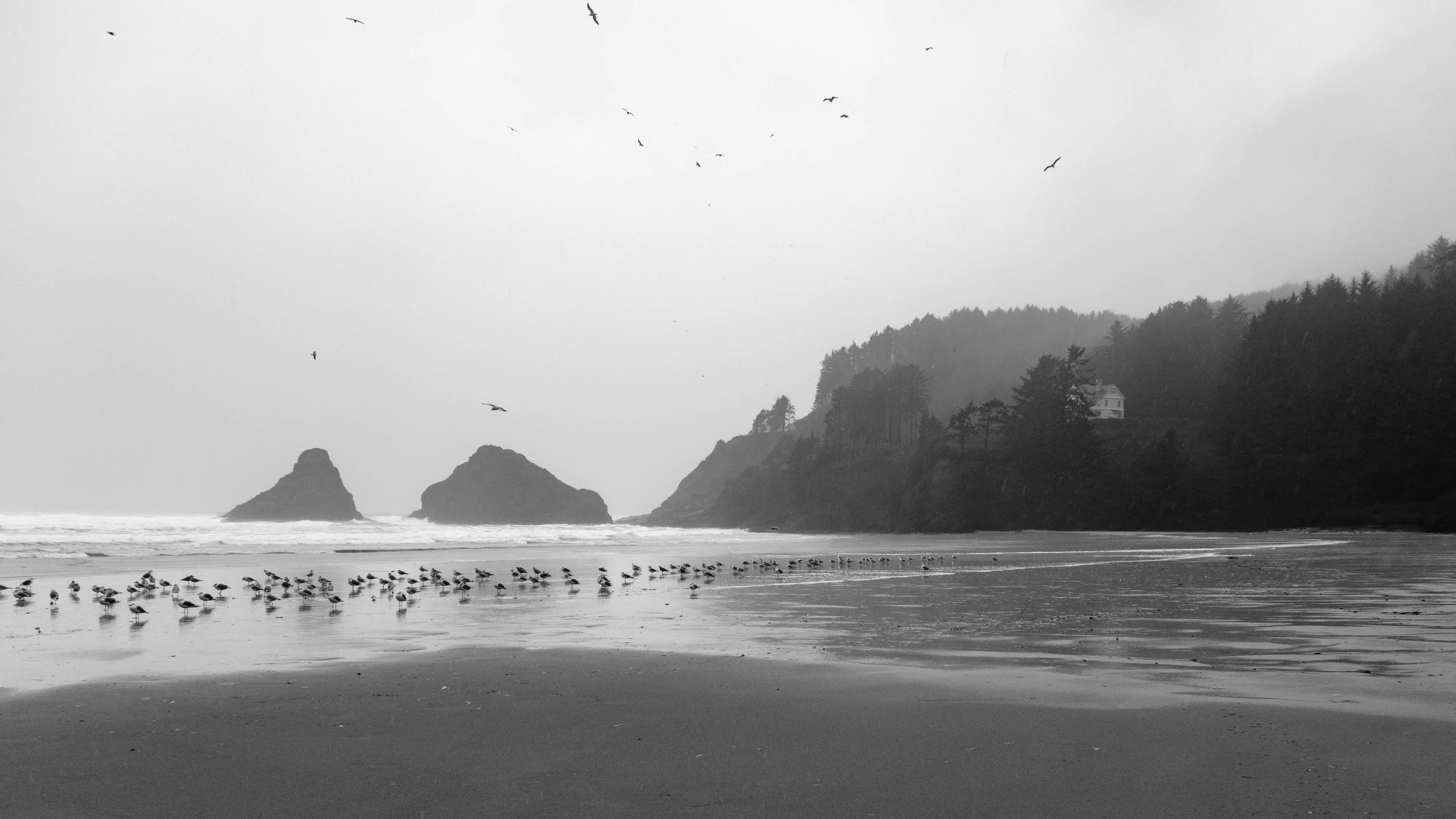
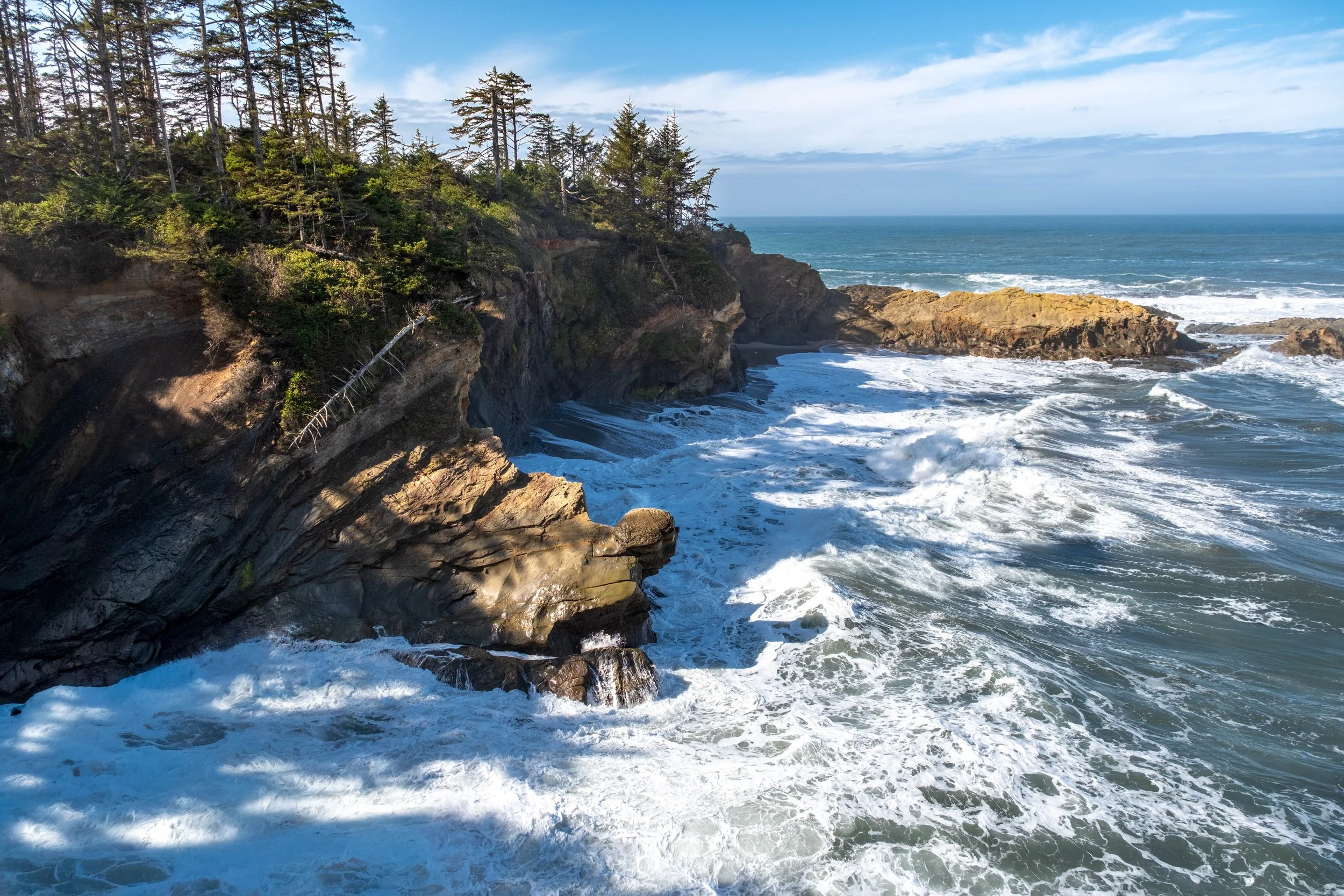
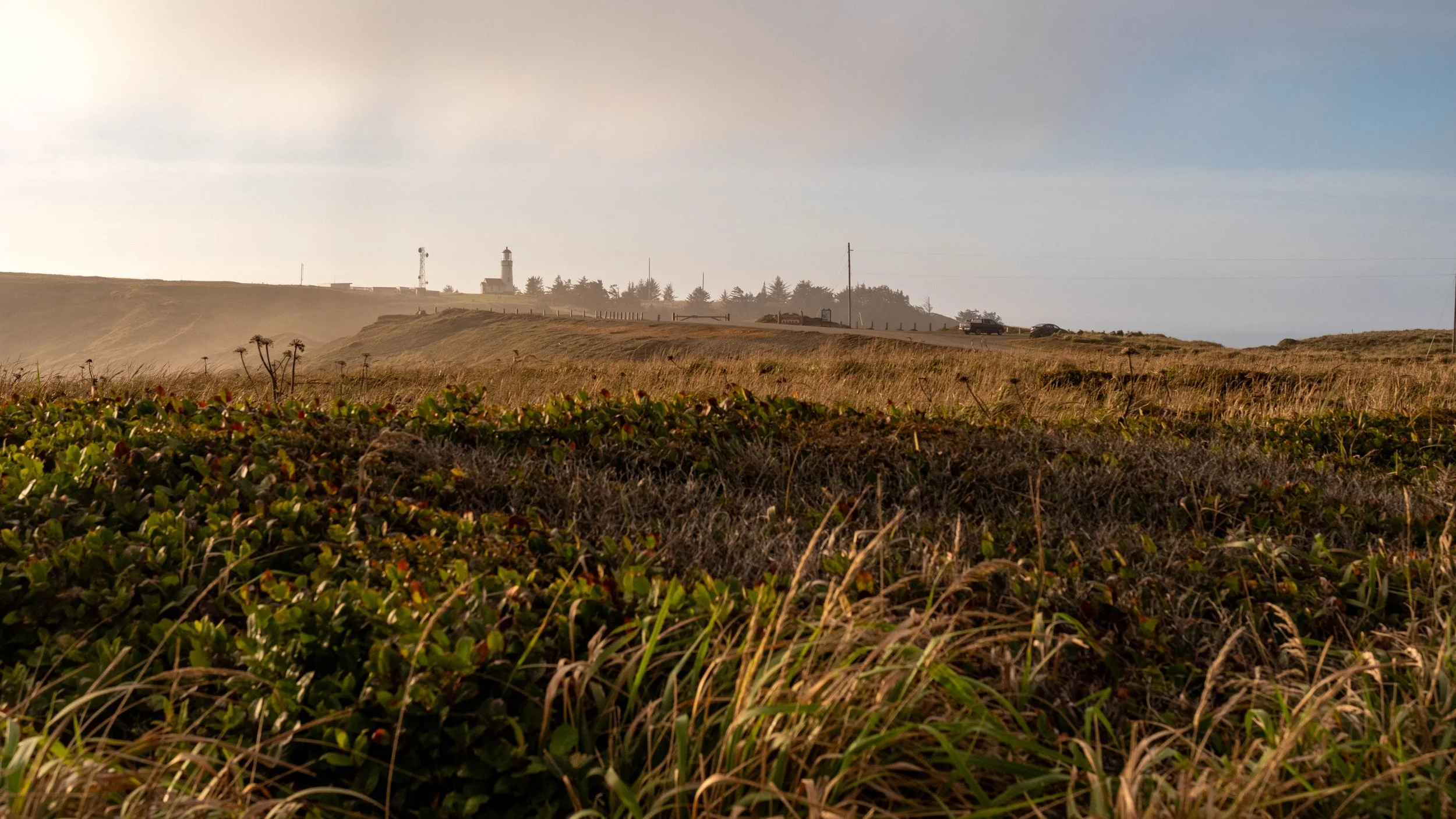
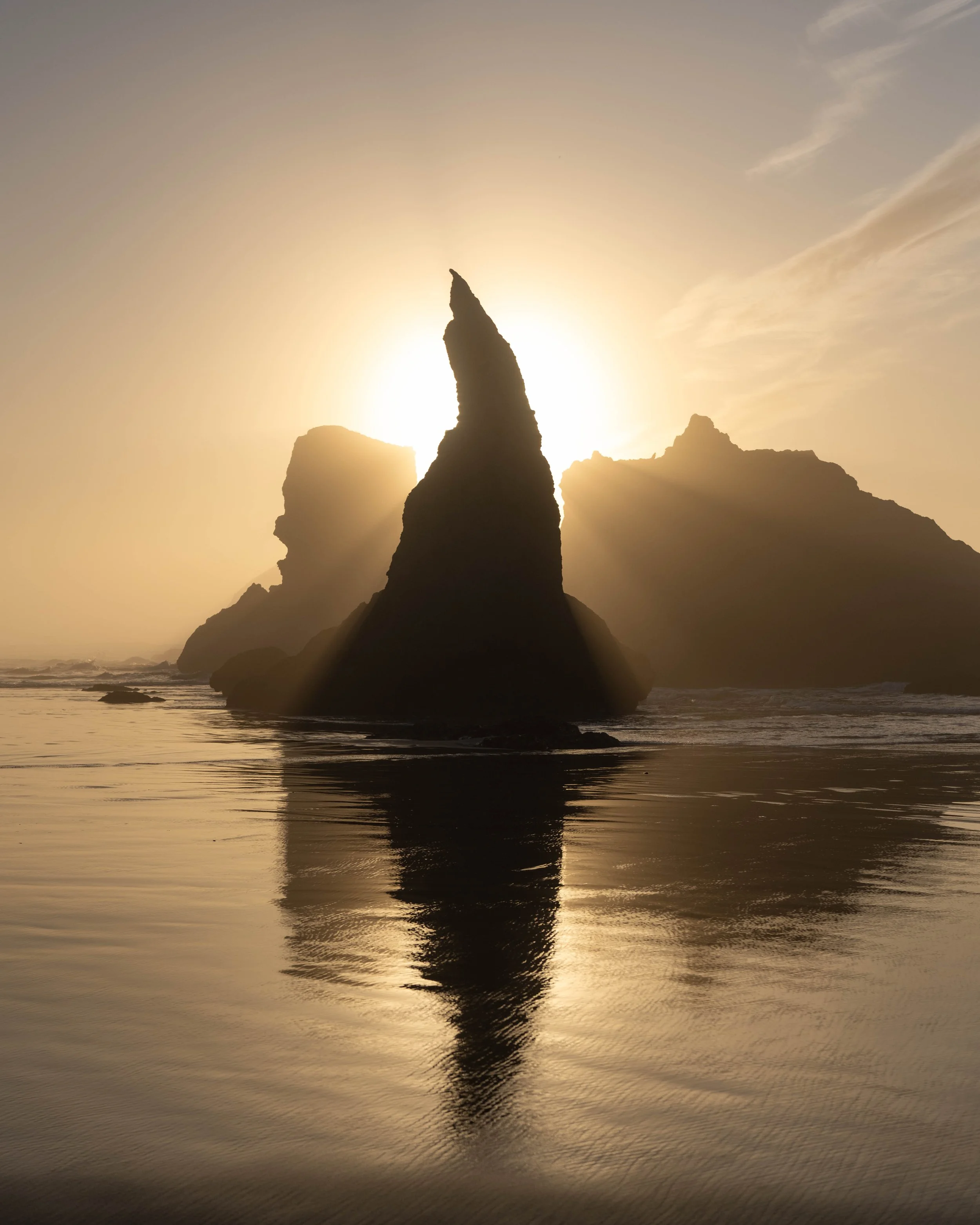
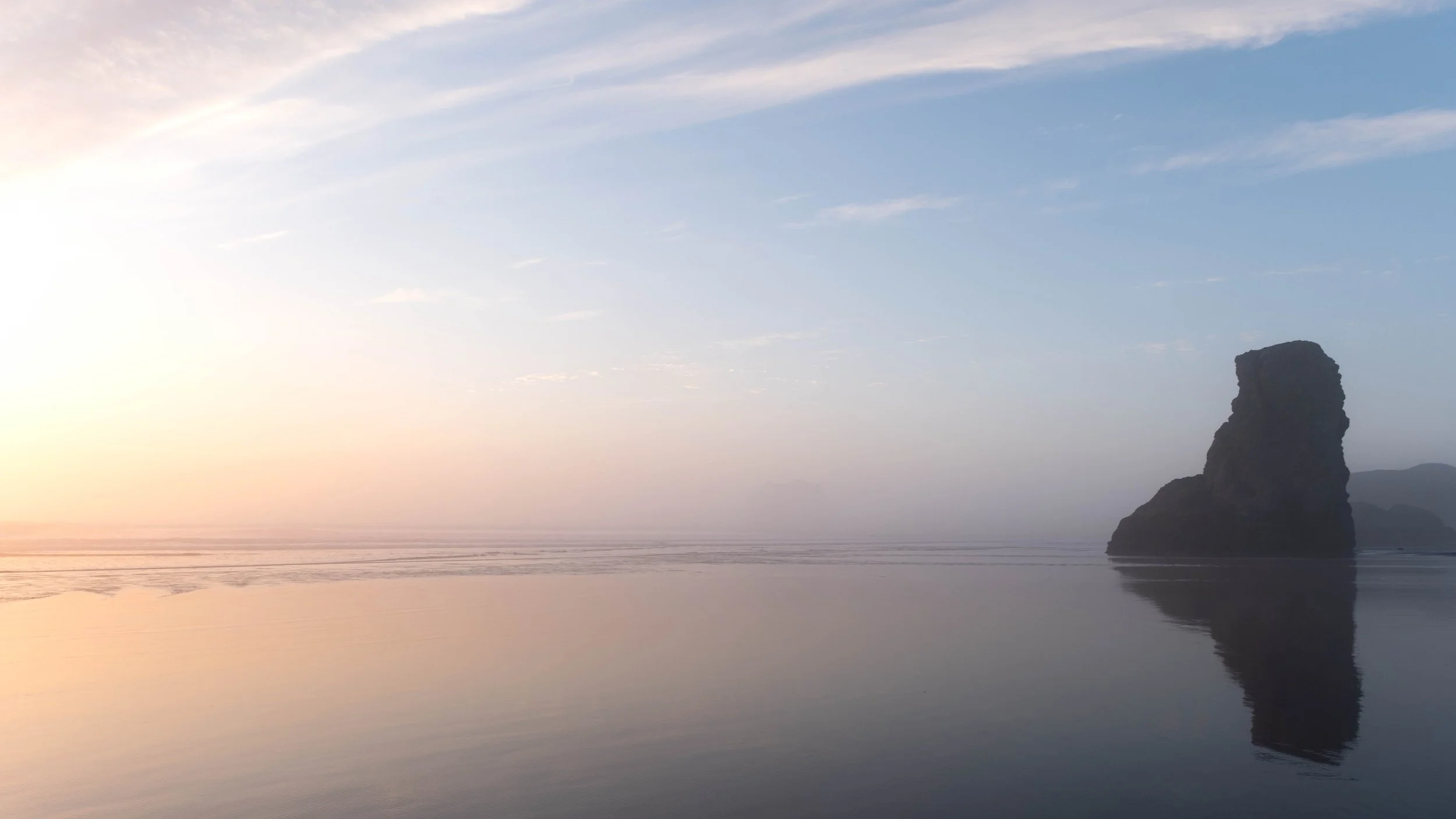
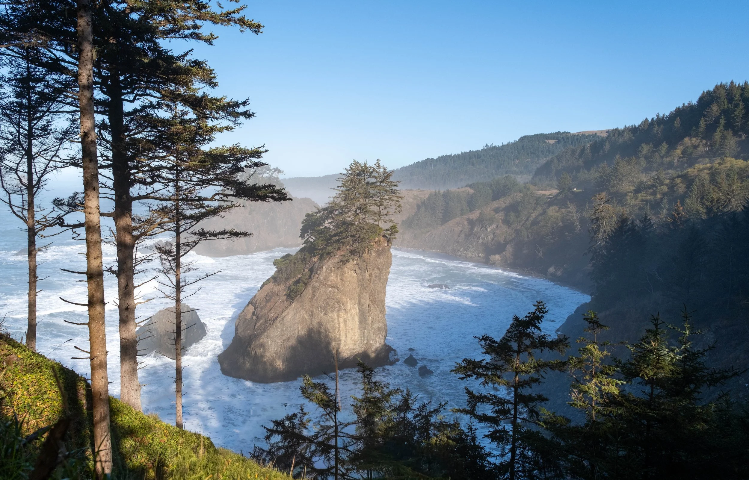
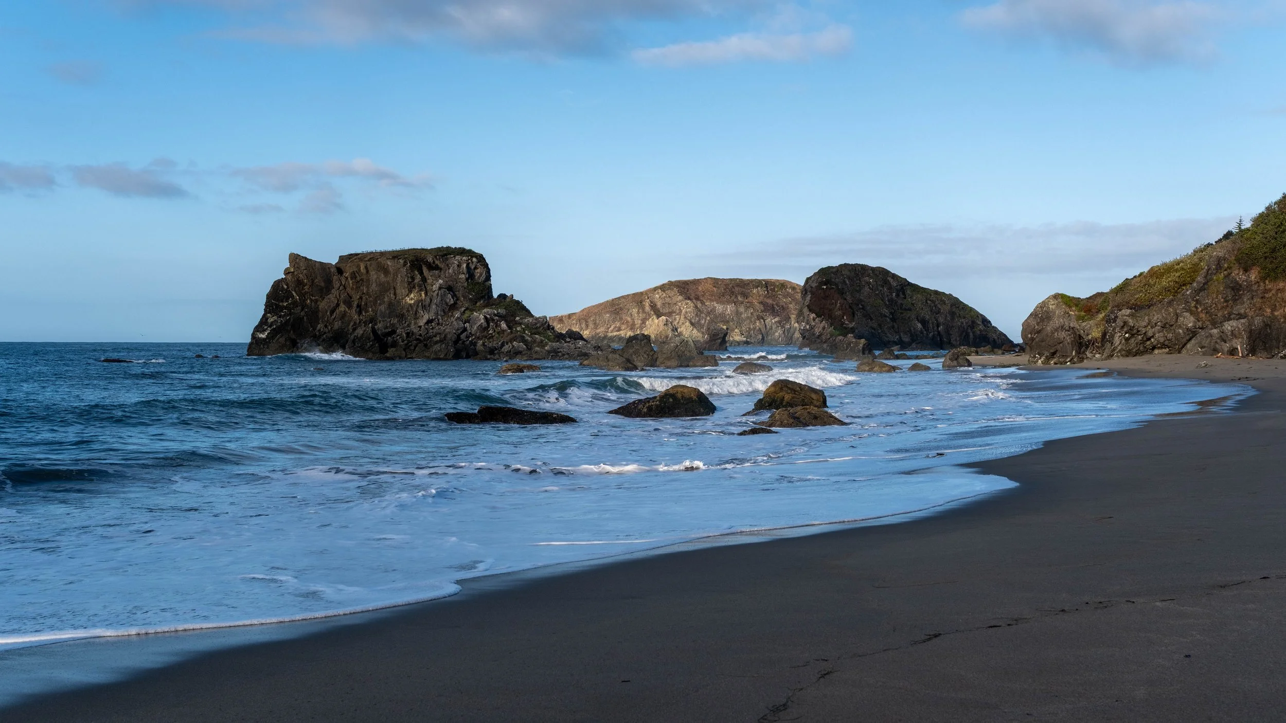
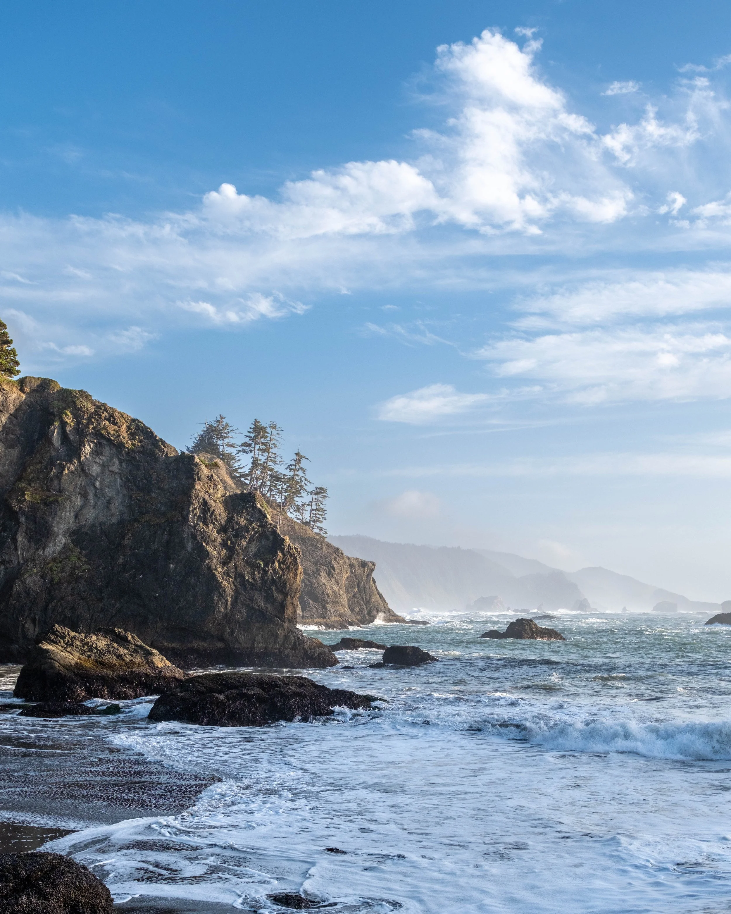
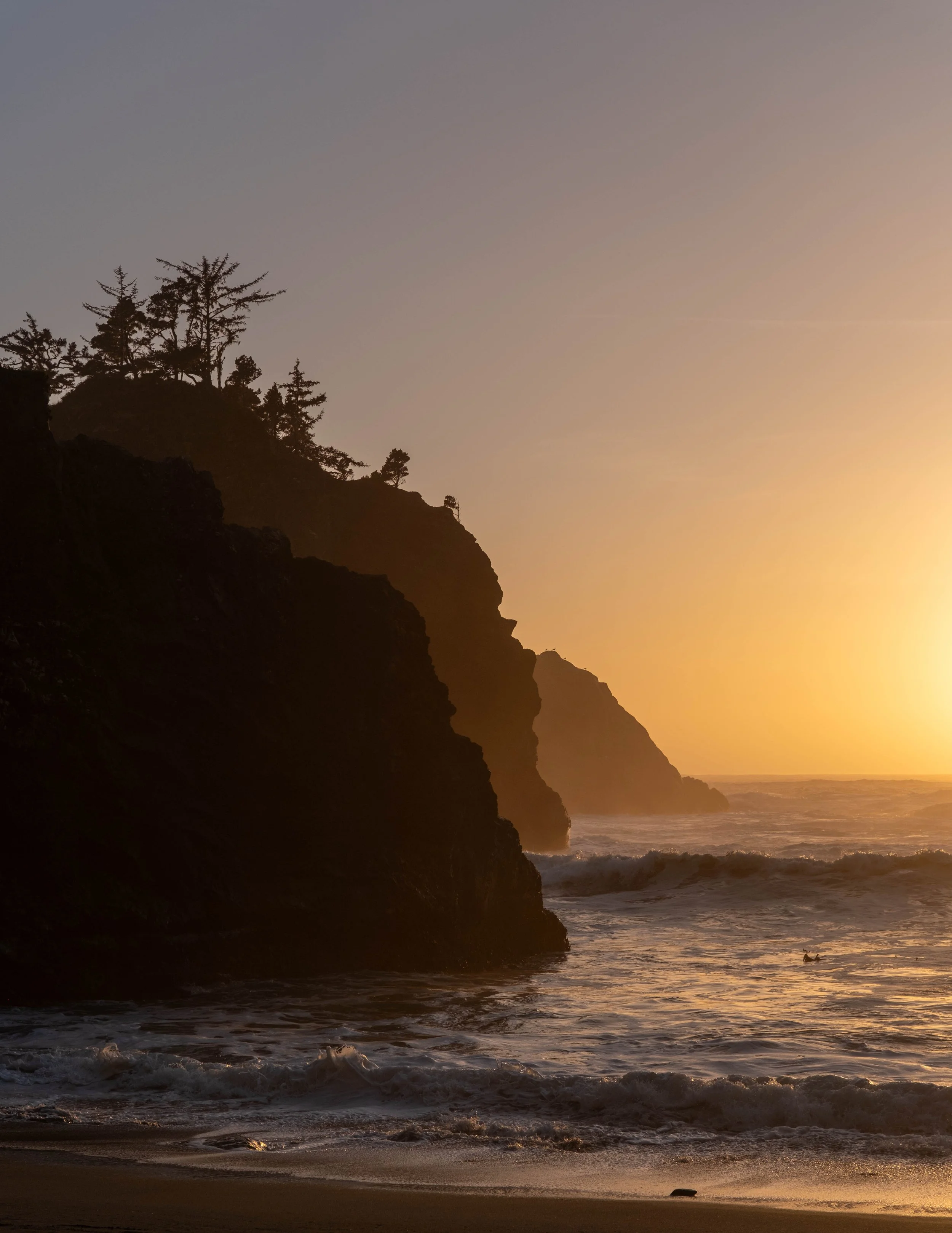
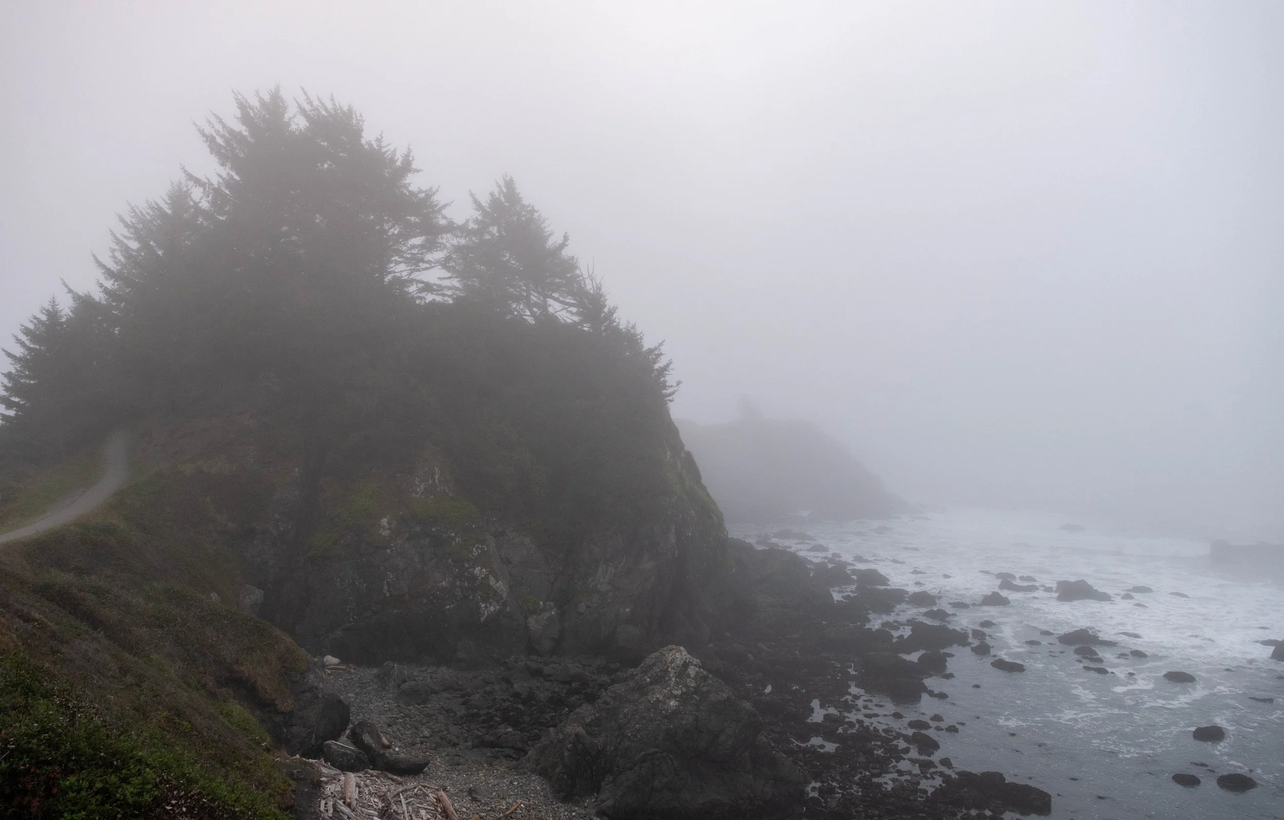
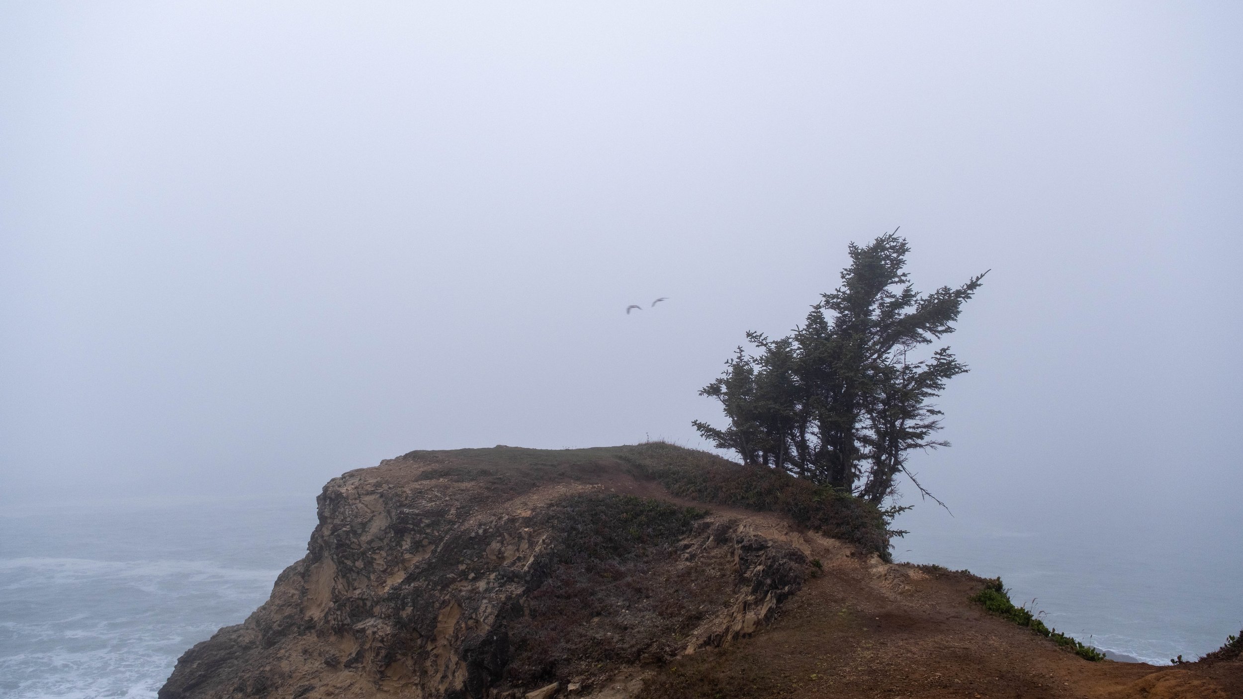
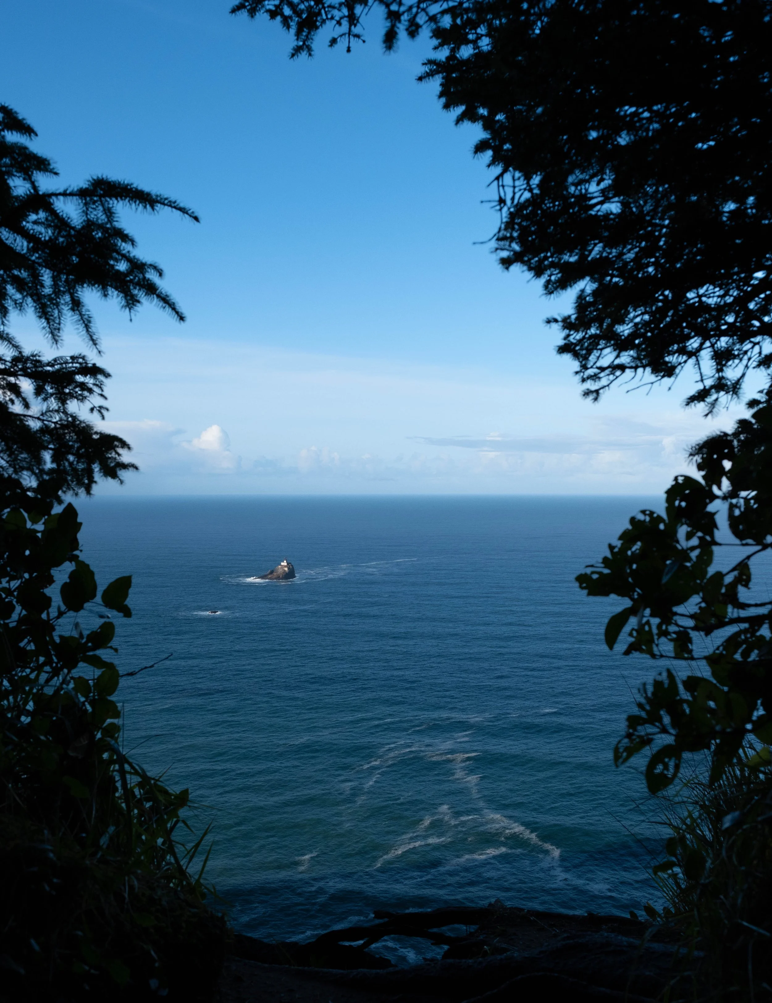
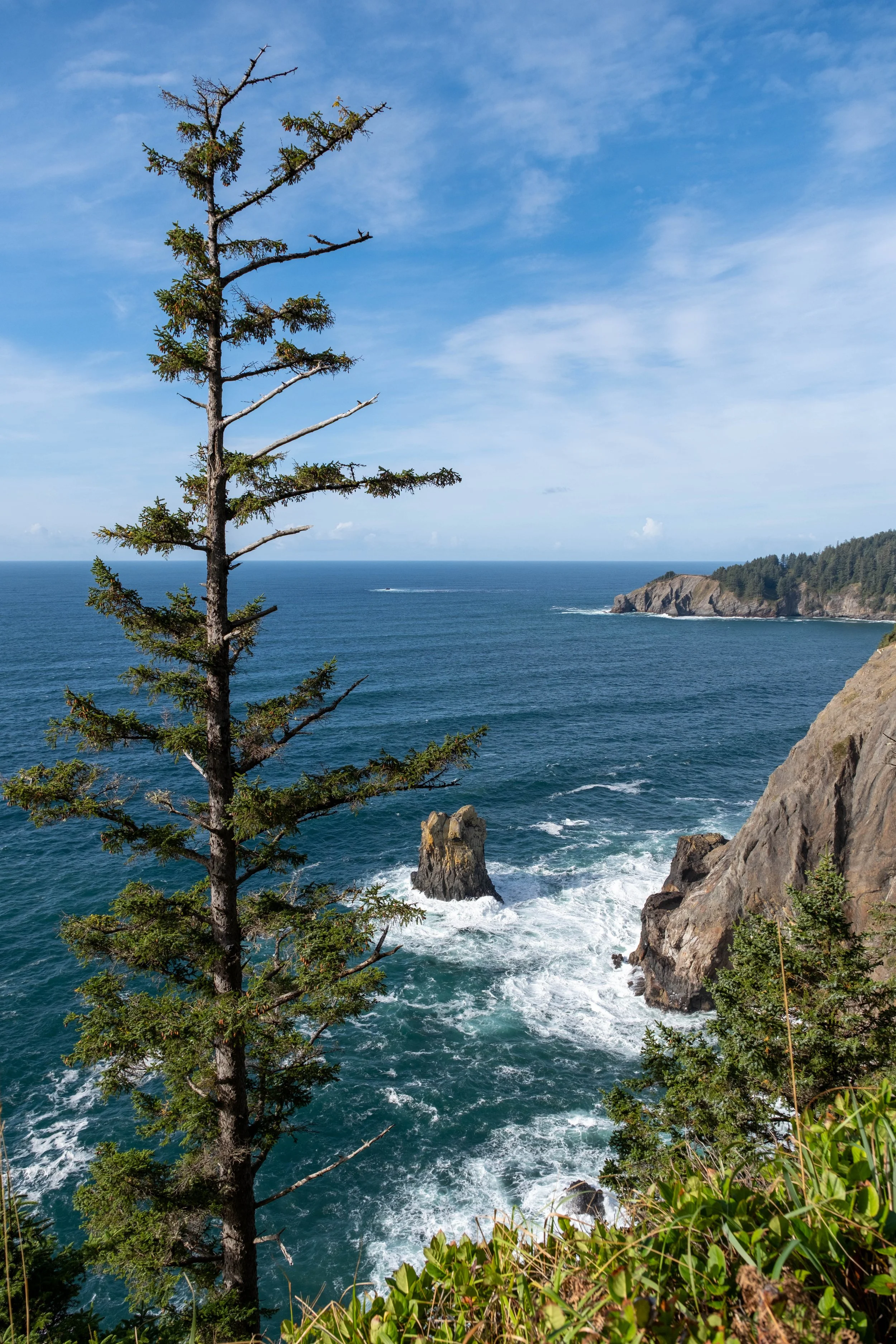
After so much time deep in the woods, the trail weaved its way along the coast, and I got a glimpse of this lighthouse, which I suspect must have been manned by generations of people who really really didn’t like working with others. There are days when I can relate.
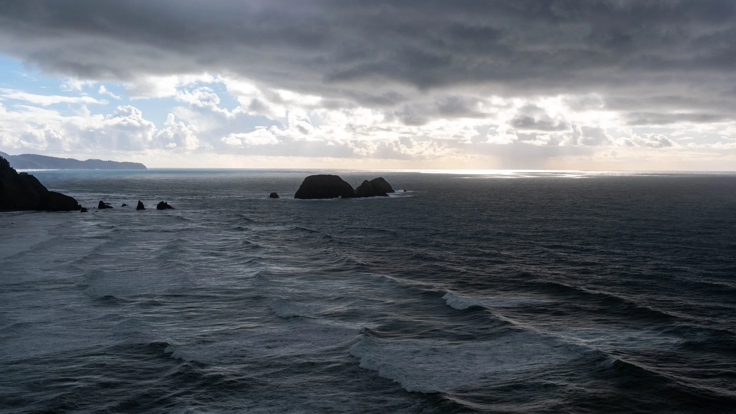
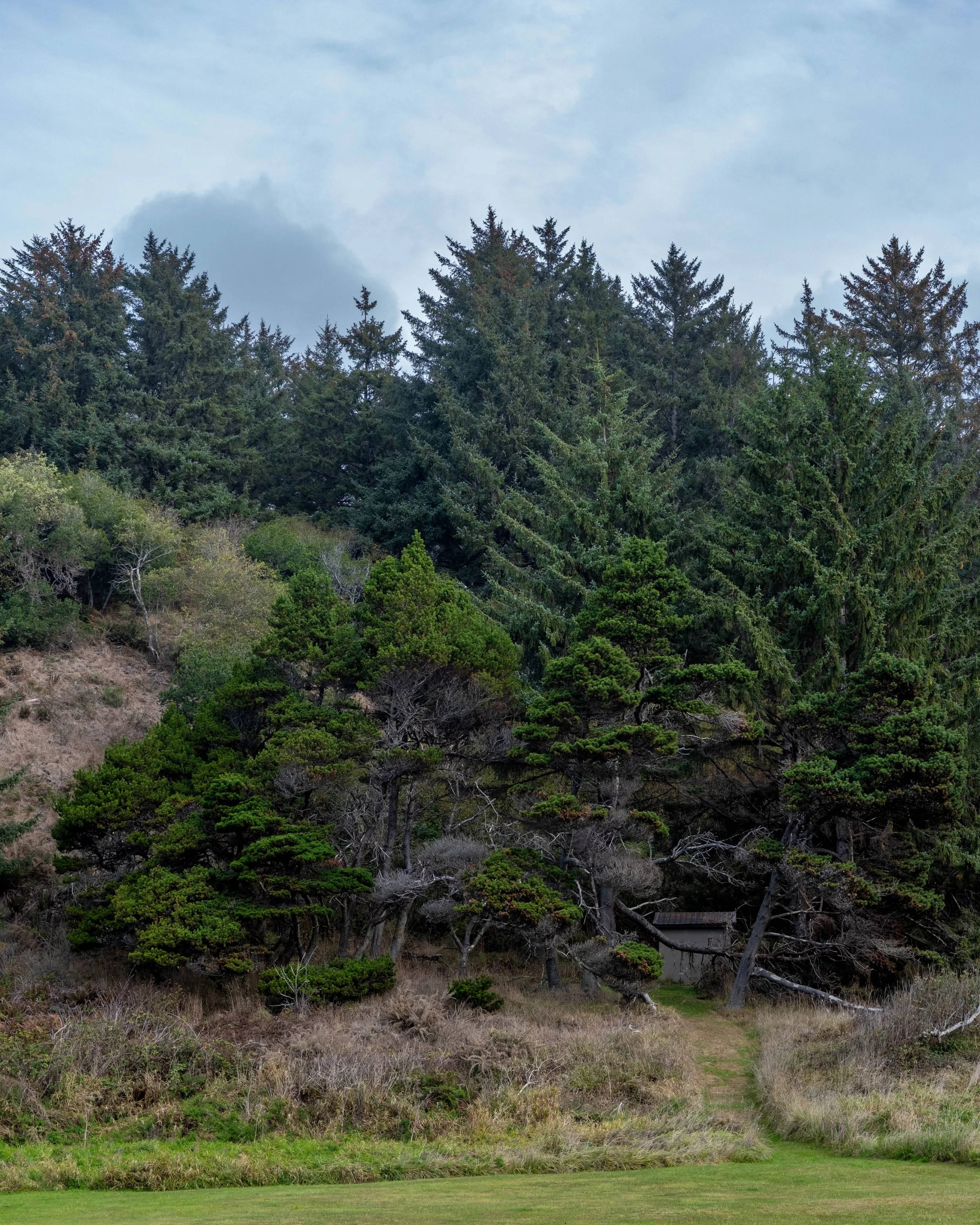
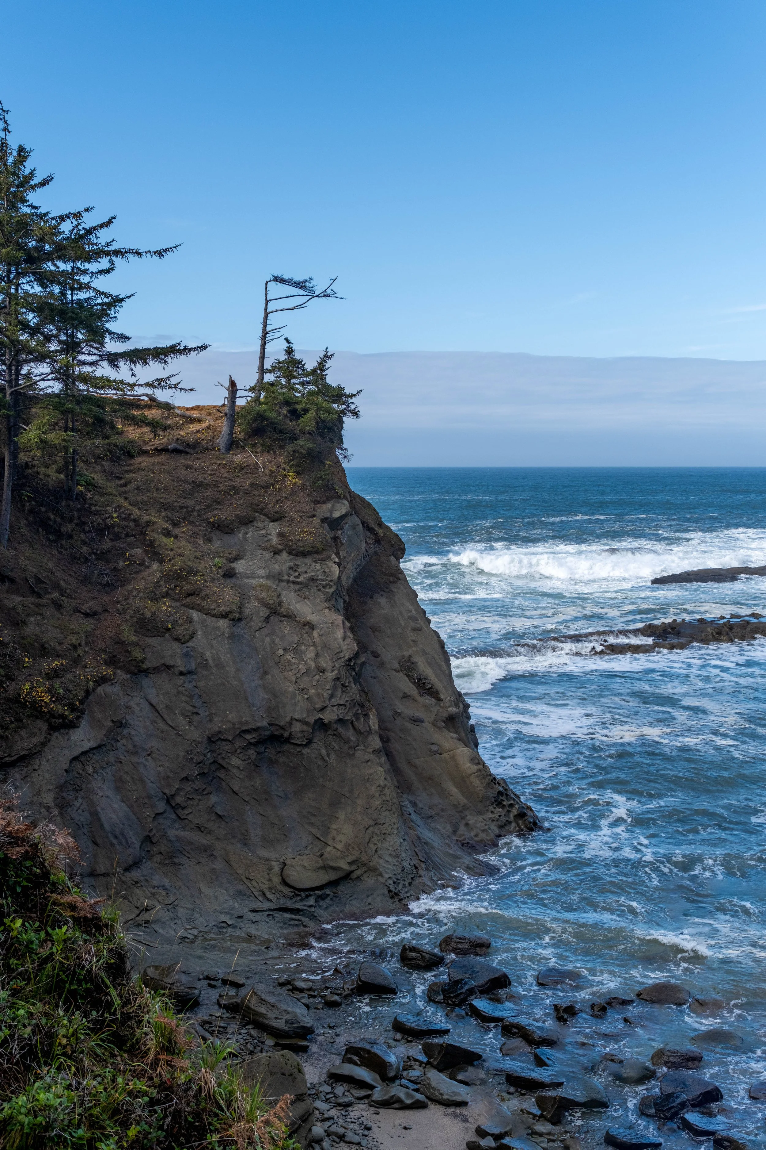
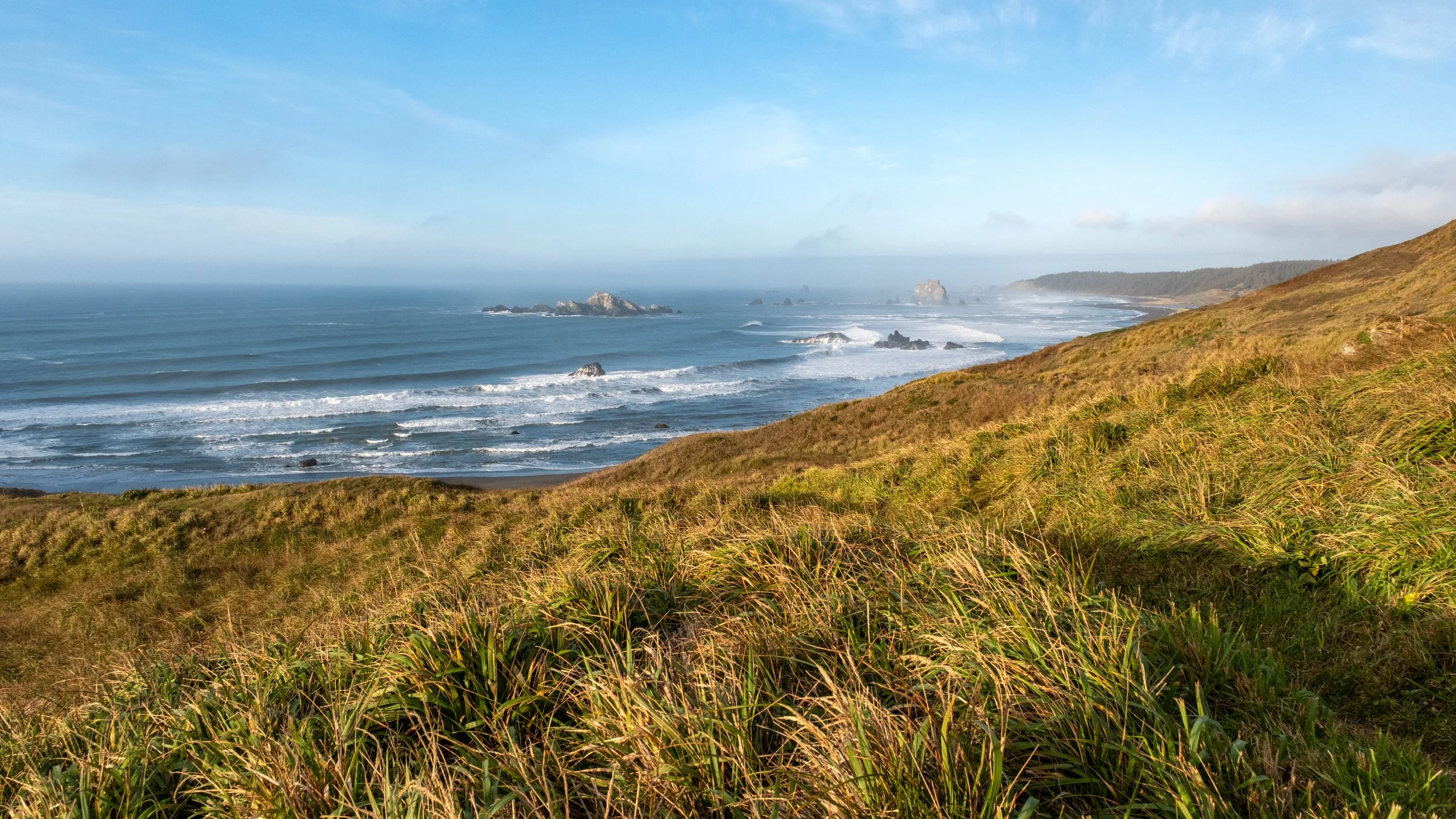
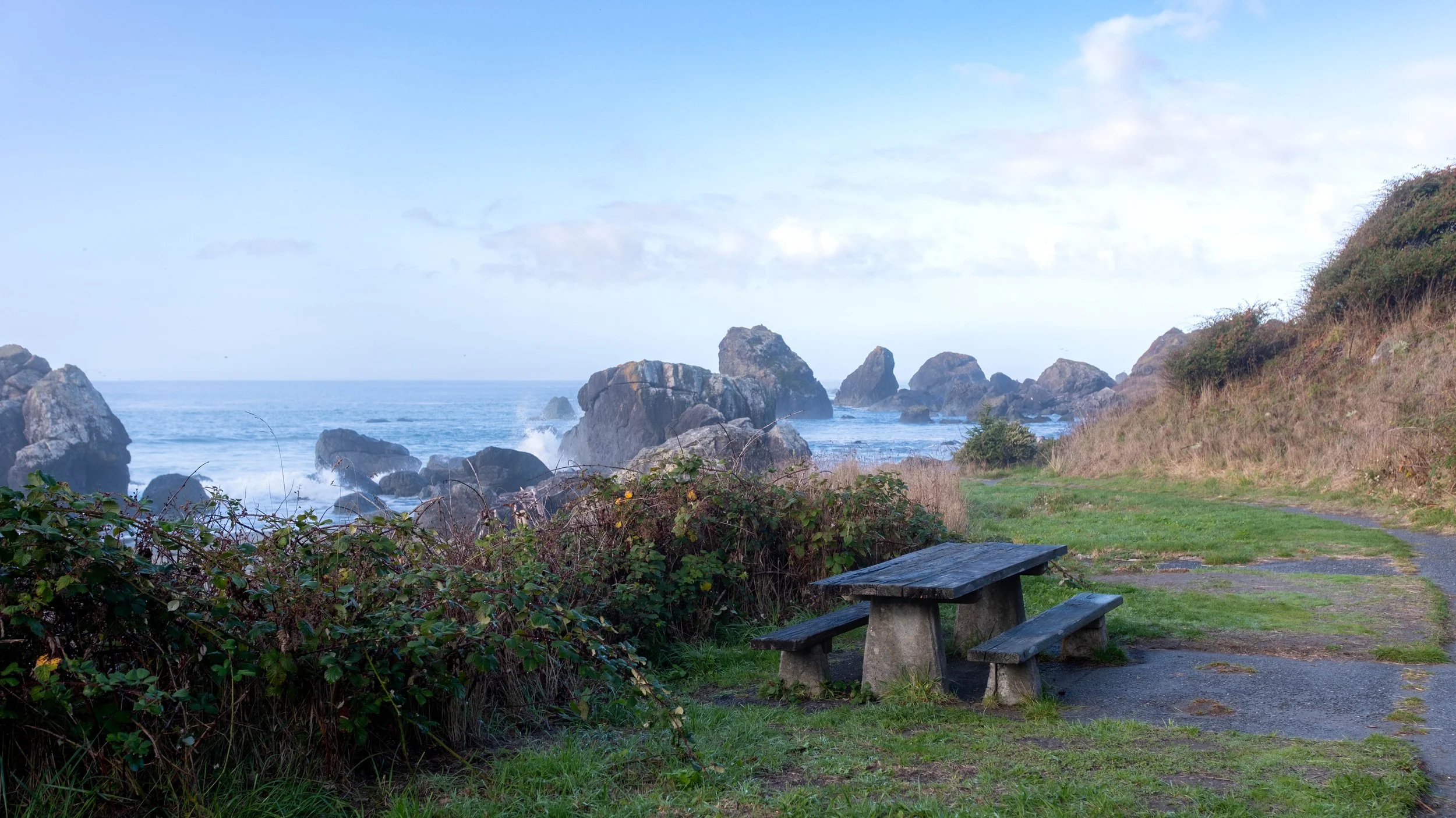
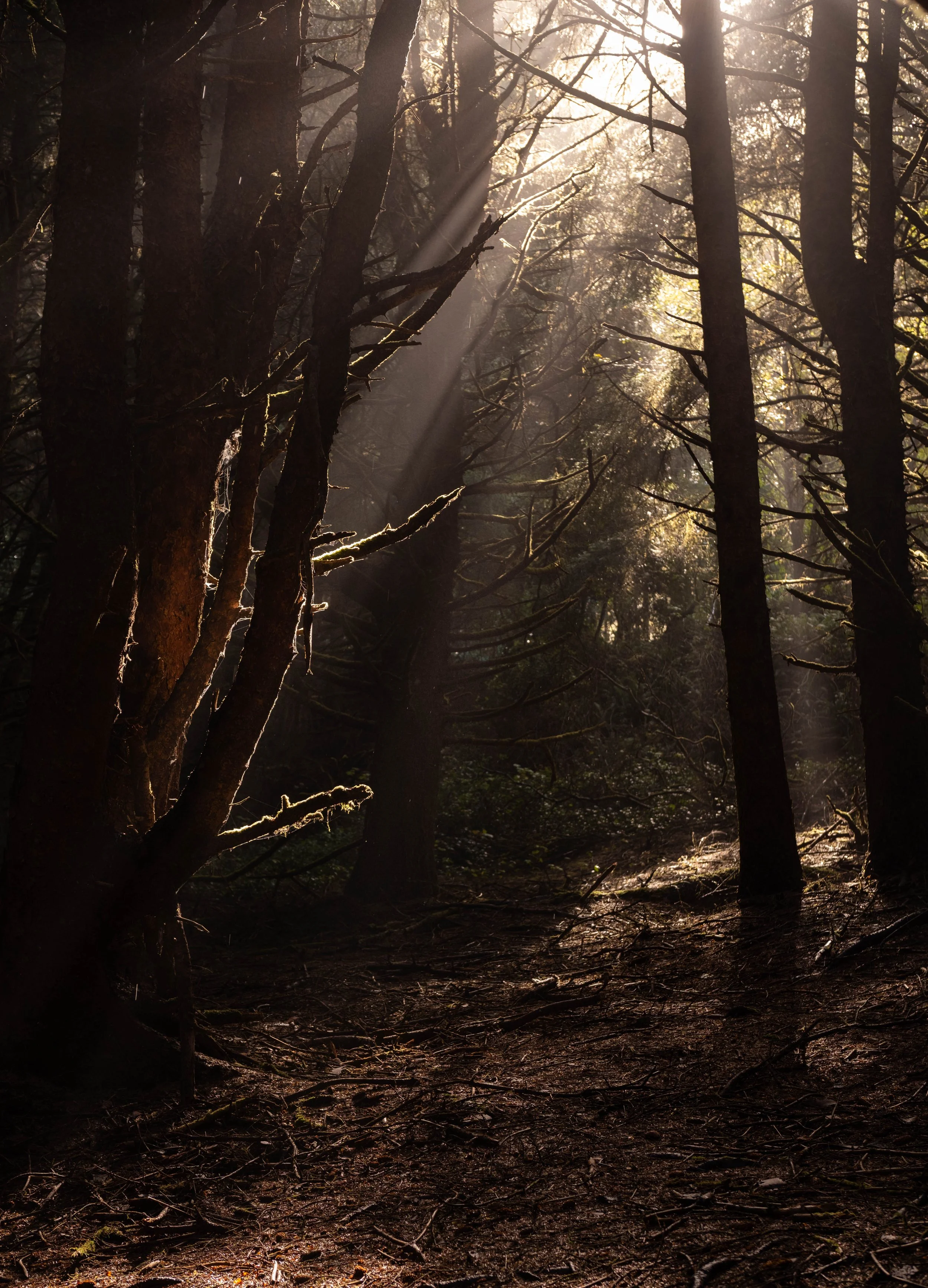
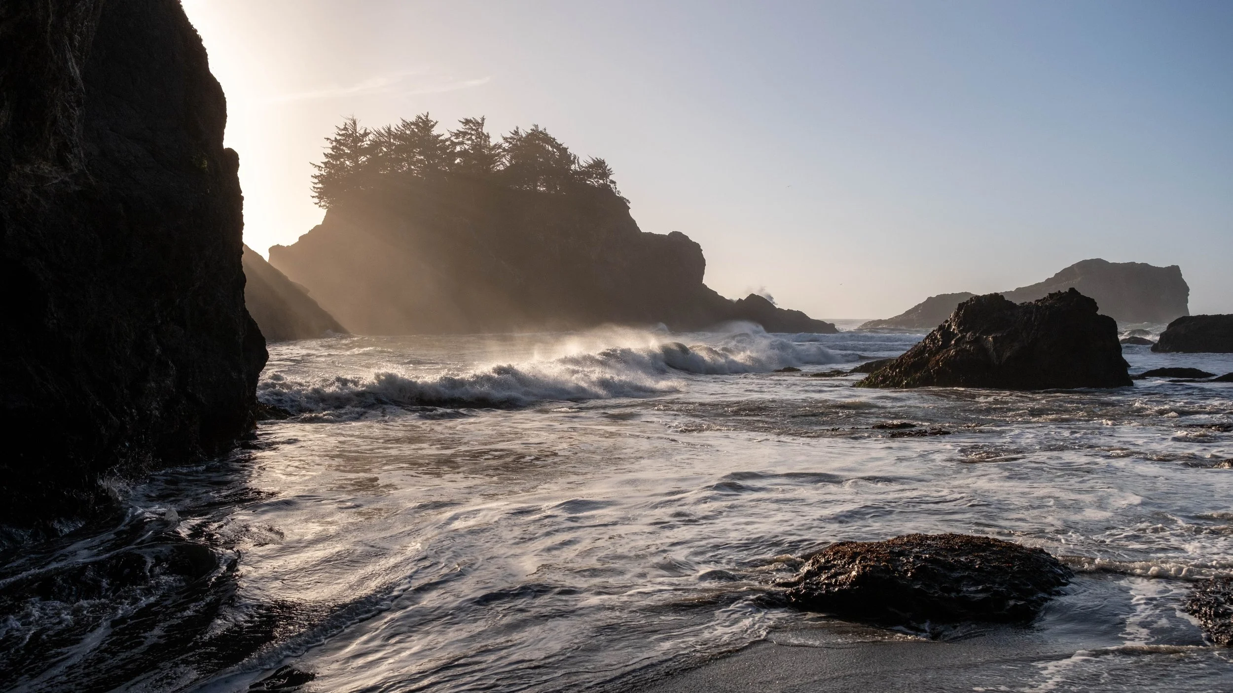
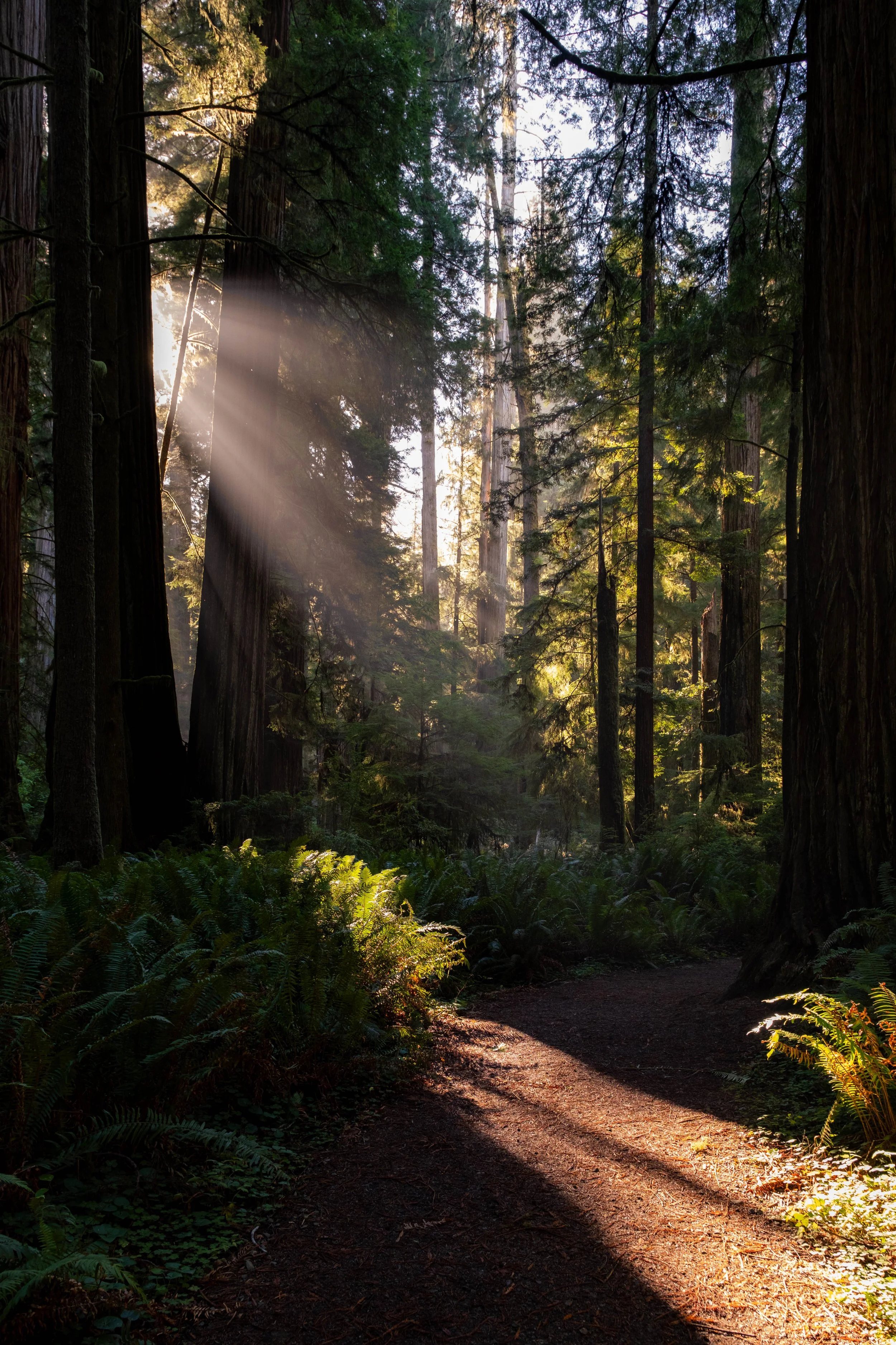
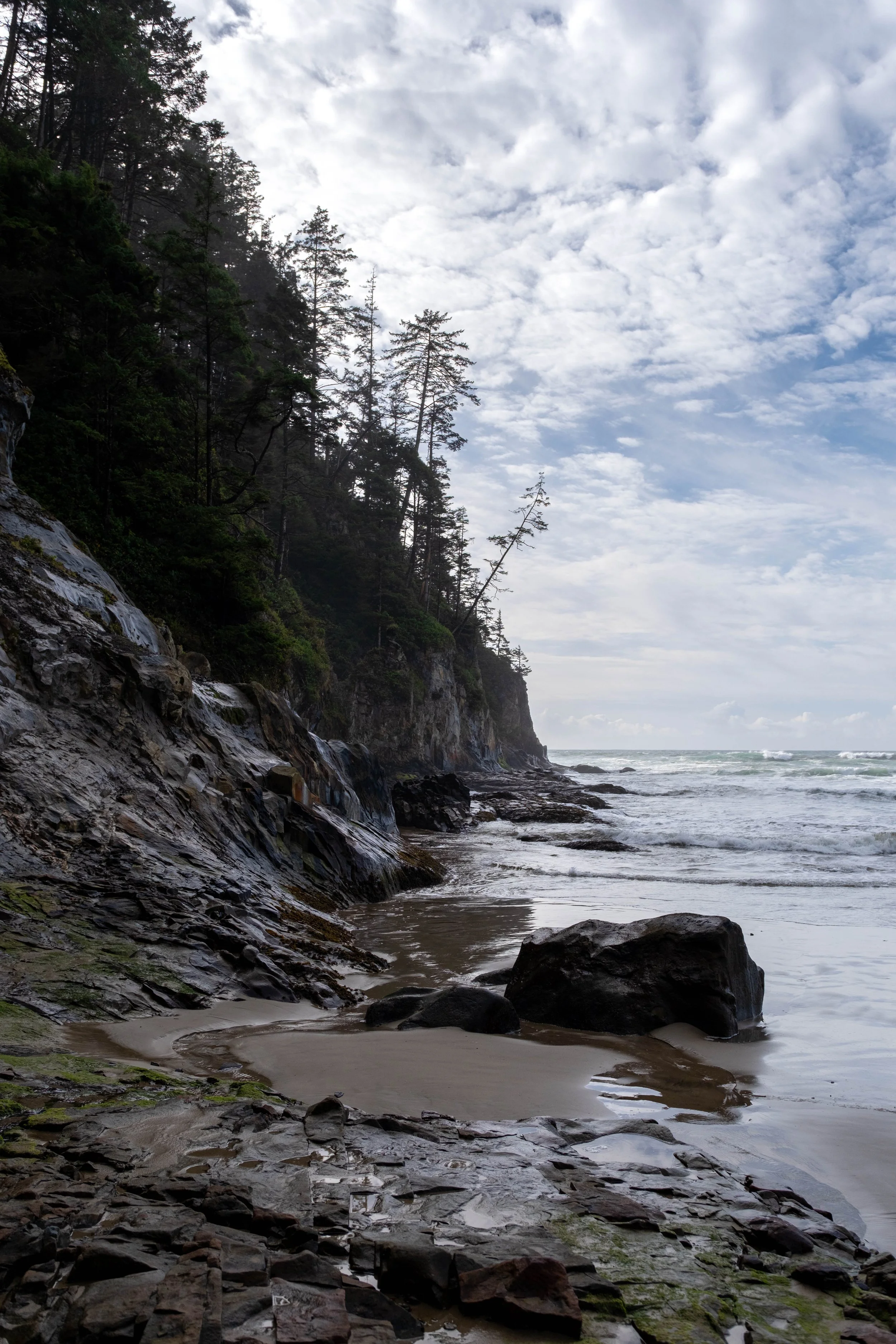
I knew the sun had once again burned off much of the earlier cloud cover, but if there’s one thing you can rely on in the deep forests of the Pacific Northwest, it’s that the high pine canopy will turn that sunlight into glorious light beams. On future trips, when the forecast says clear blue skies, I’m going to head into the old growth forests, both for respite as well as the beautiful filtered light.
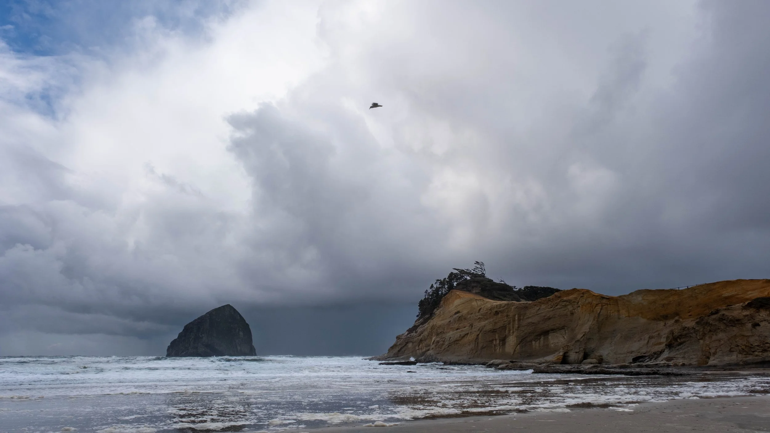
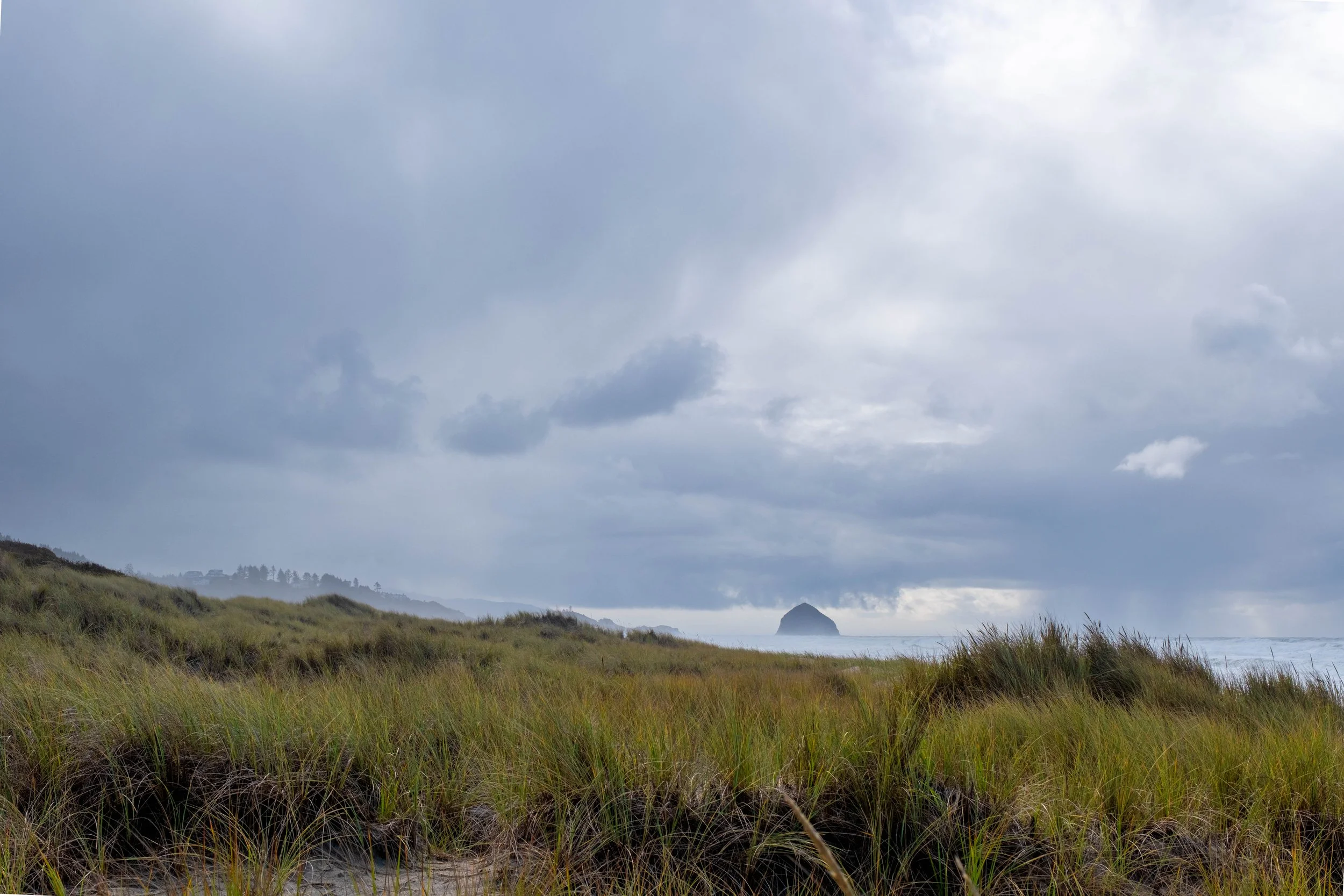
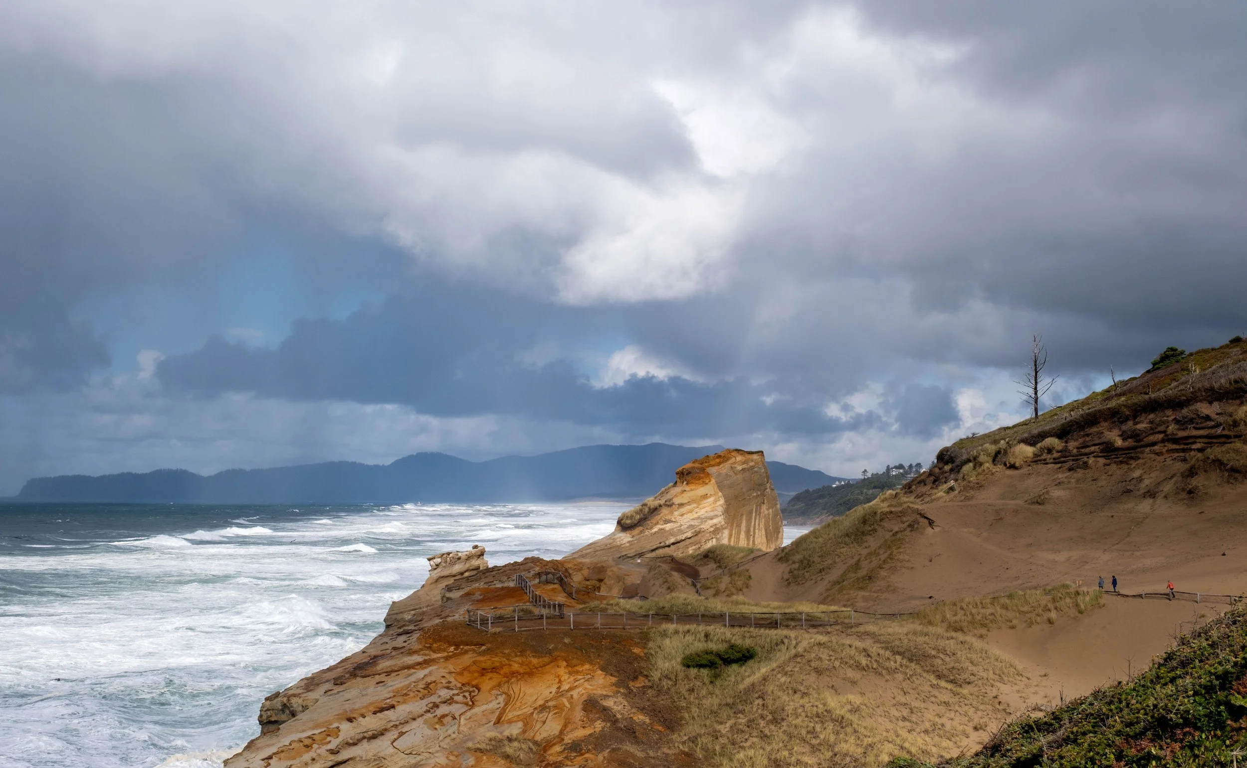
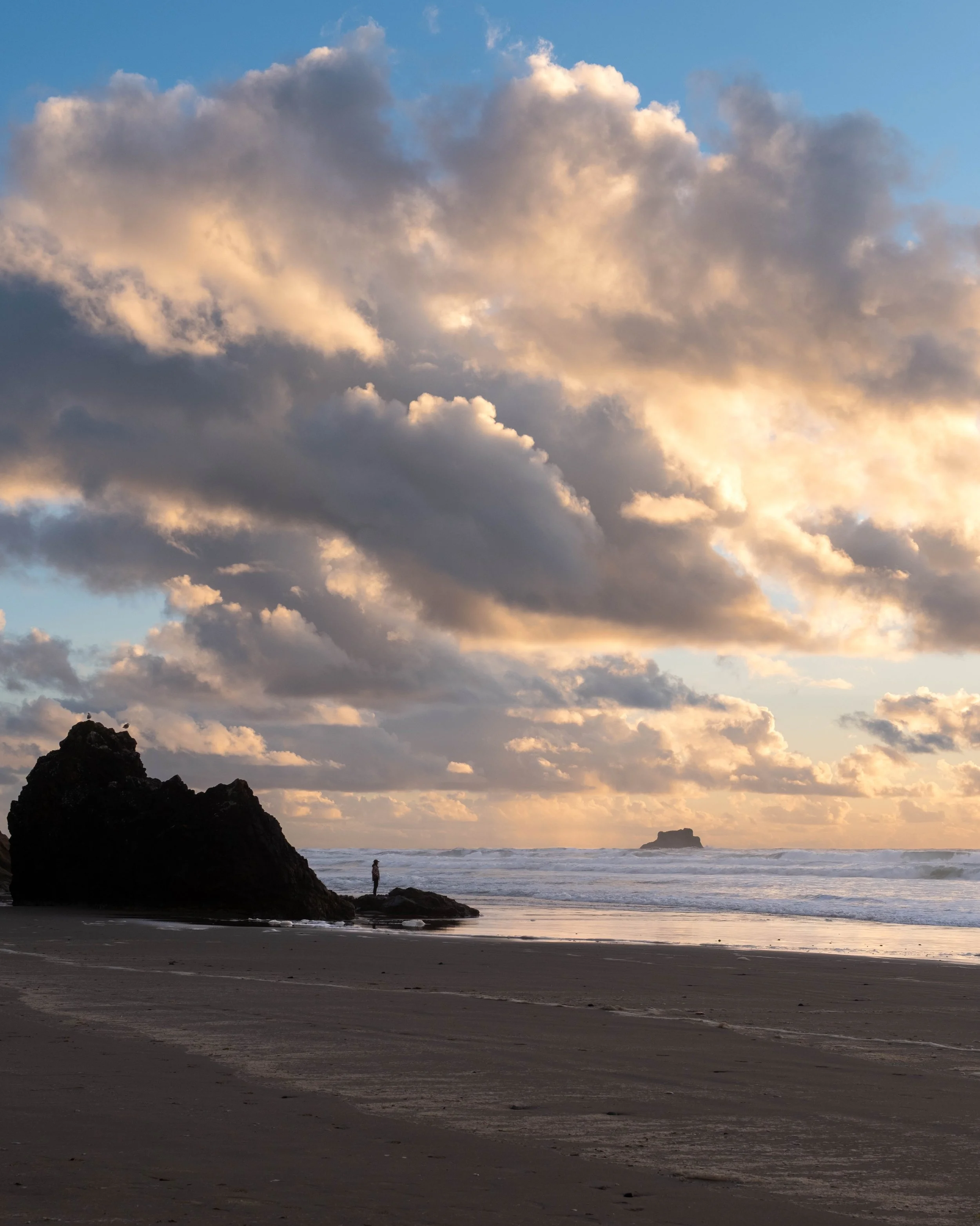
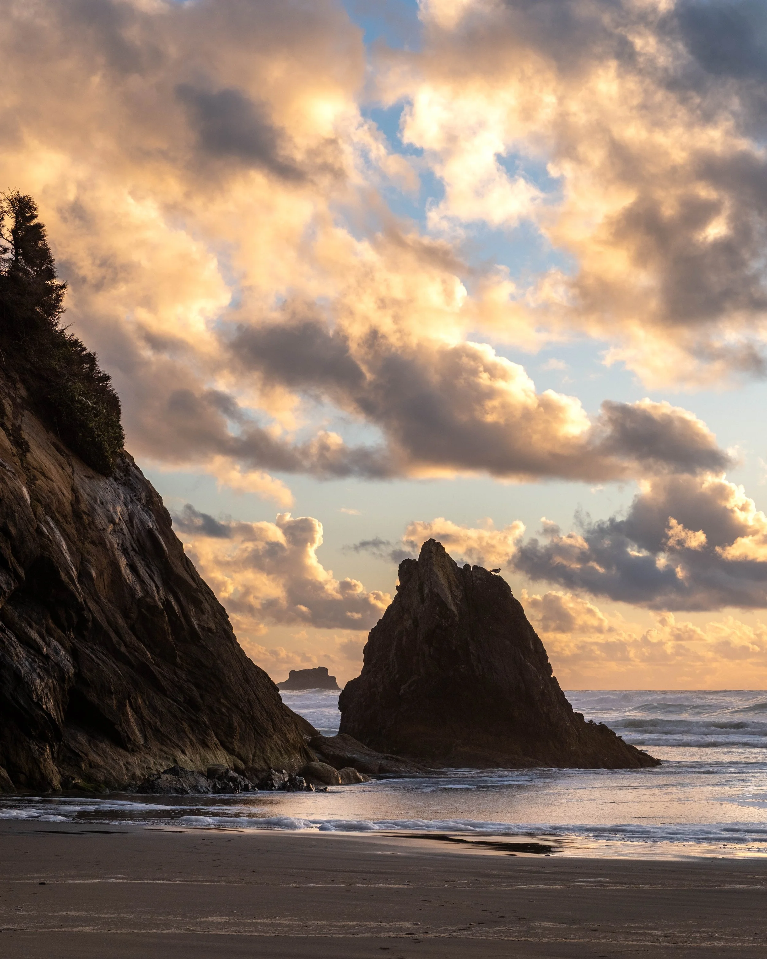
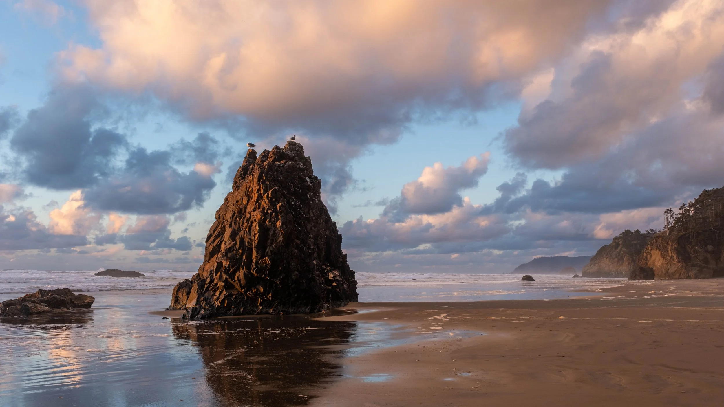
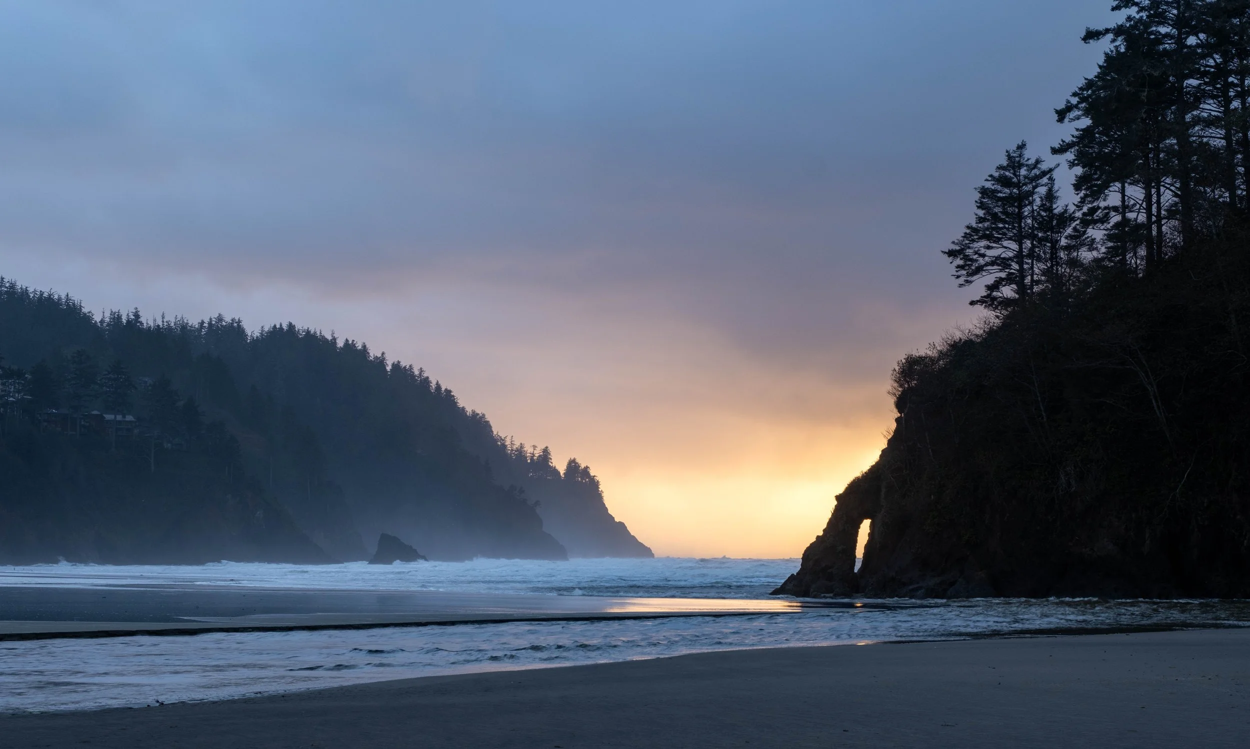
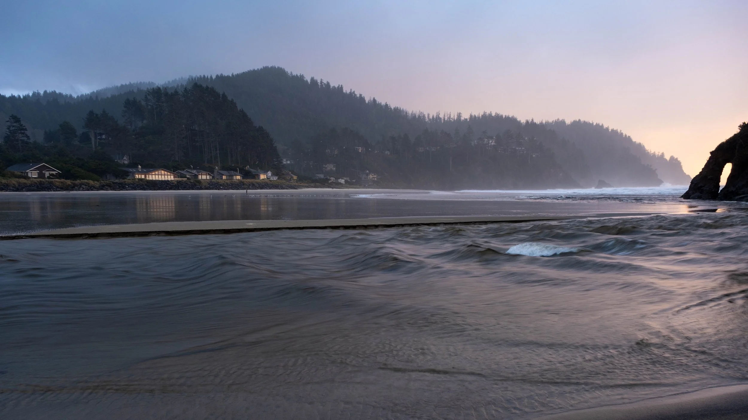
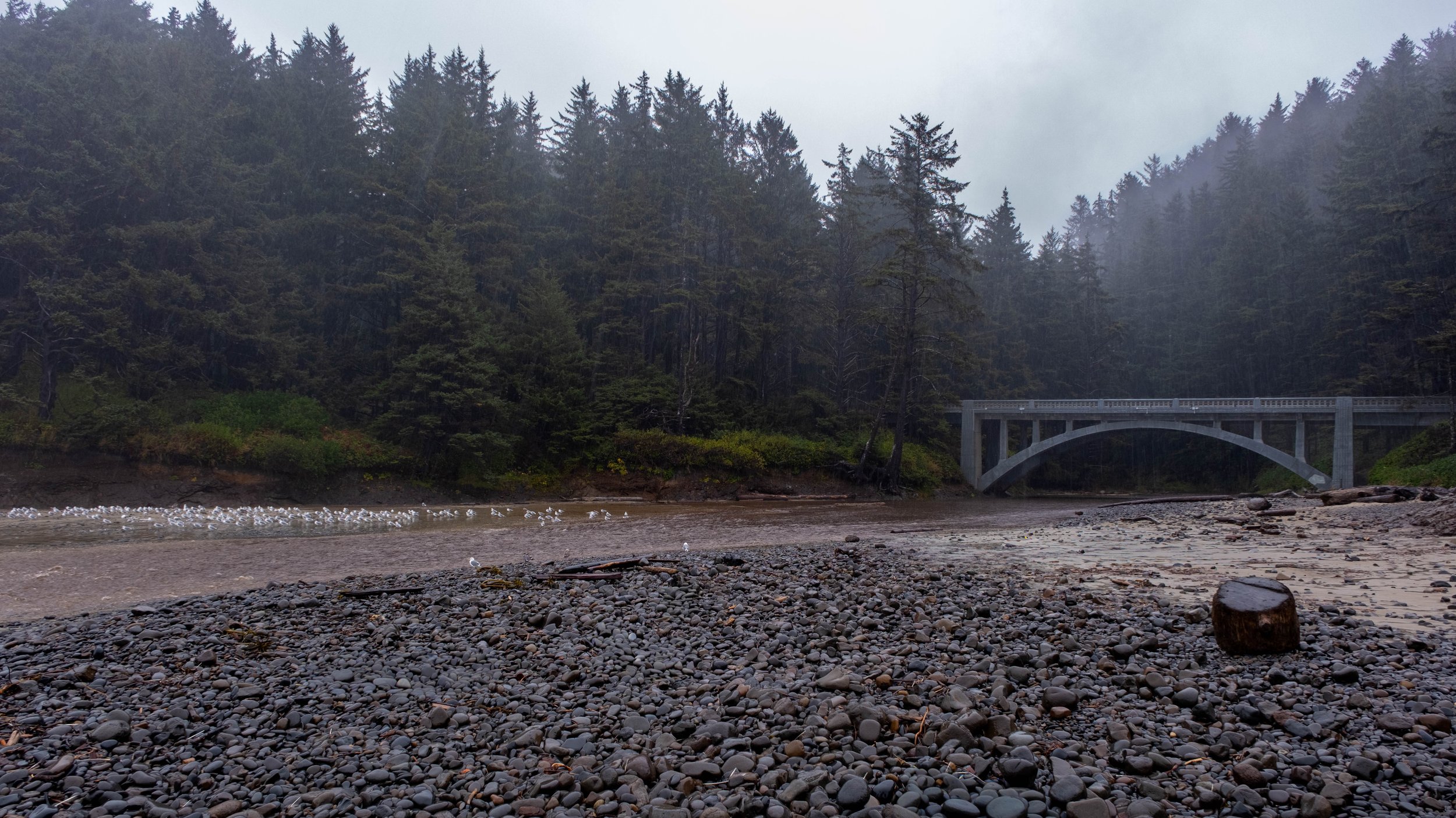
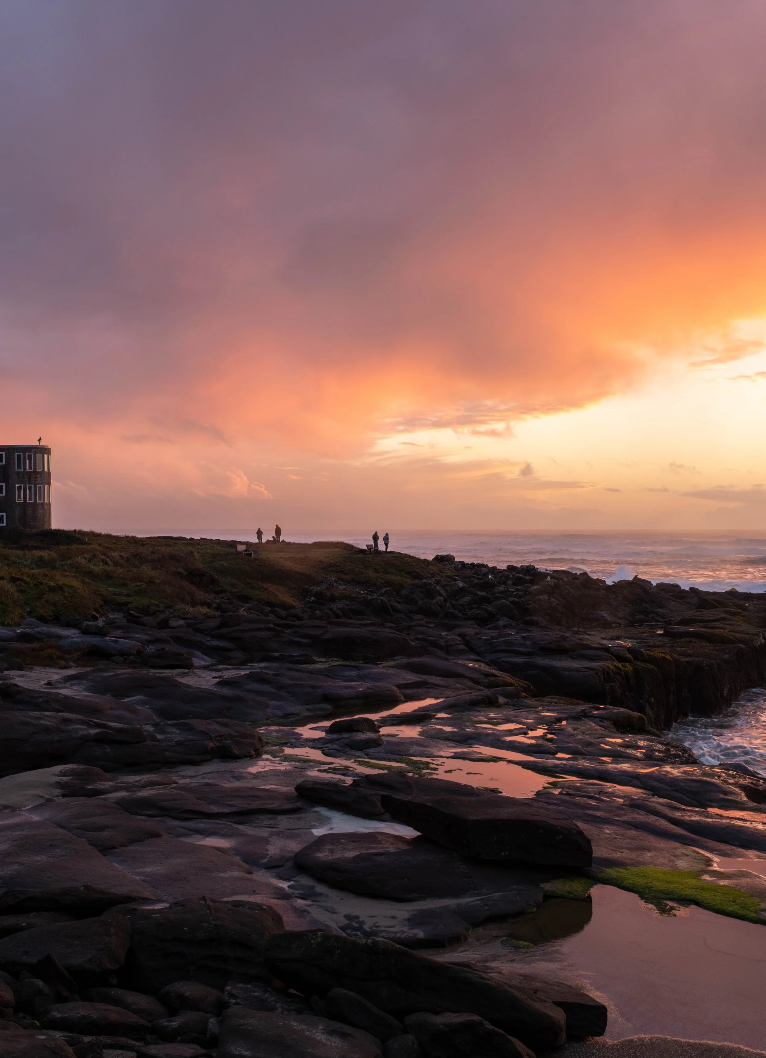
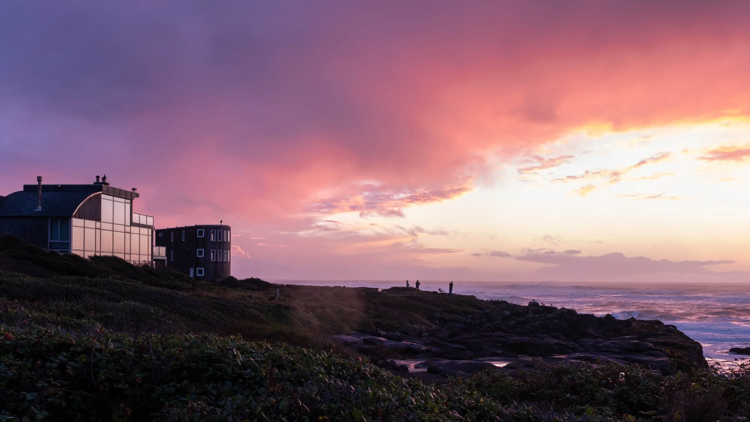
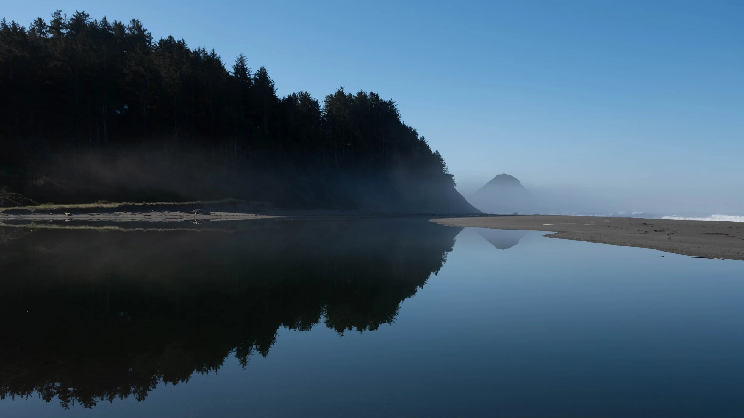
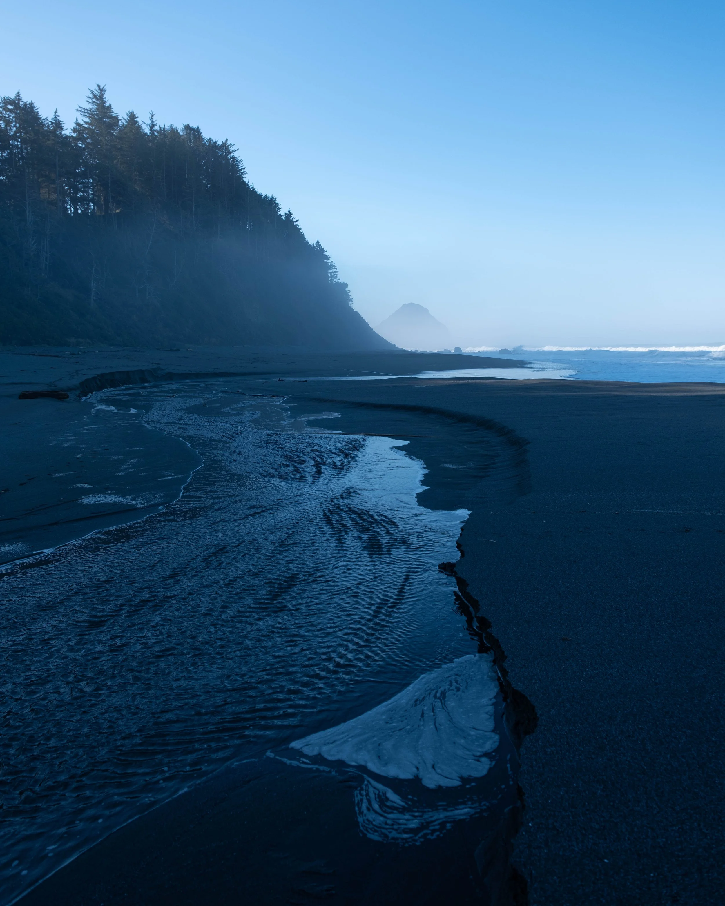
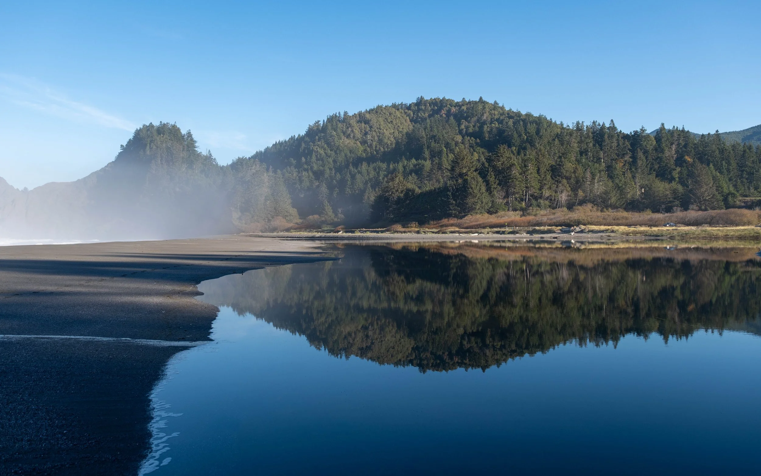
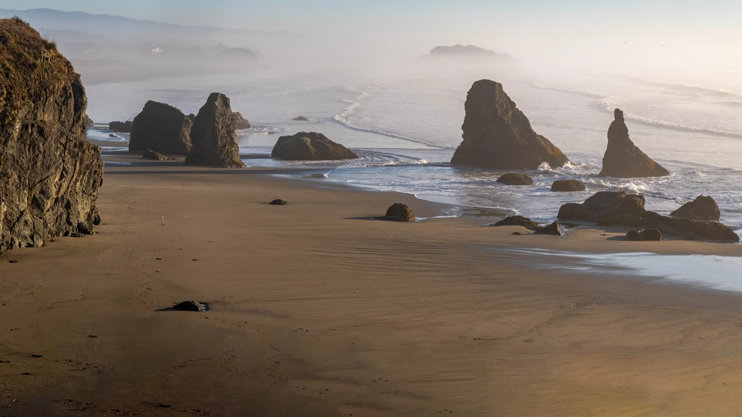
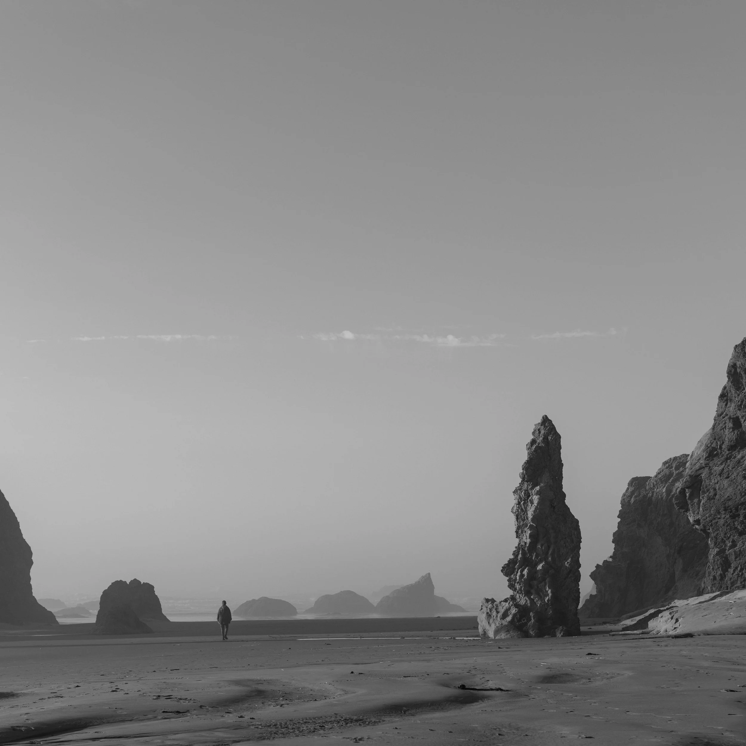
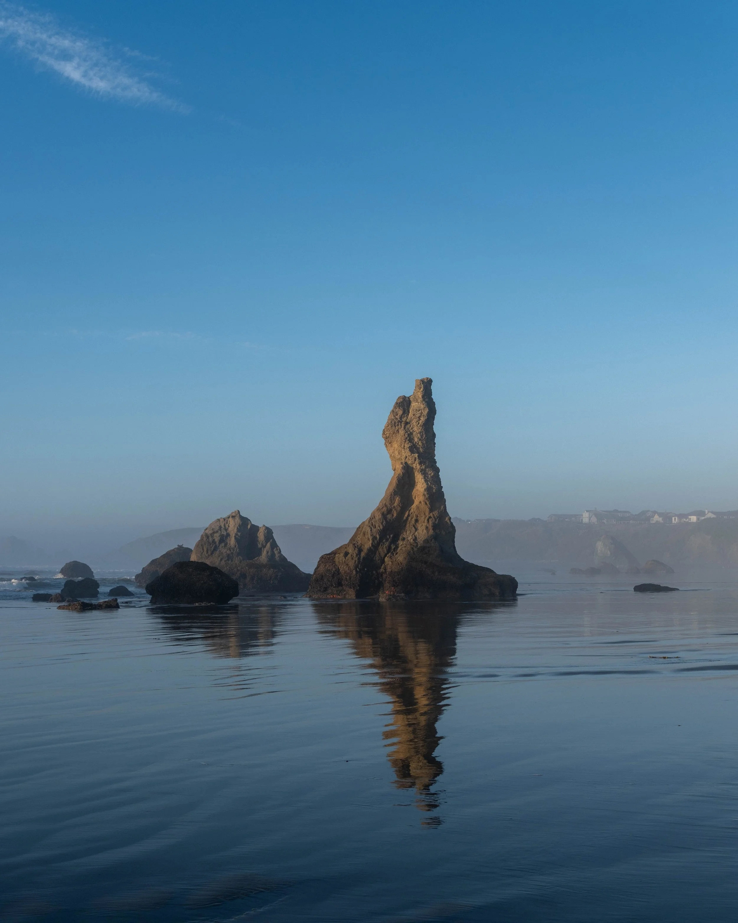
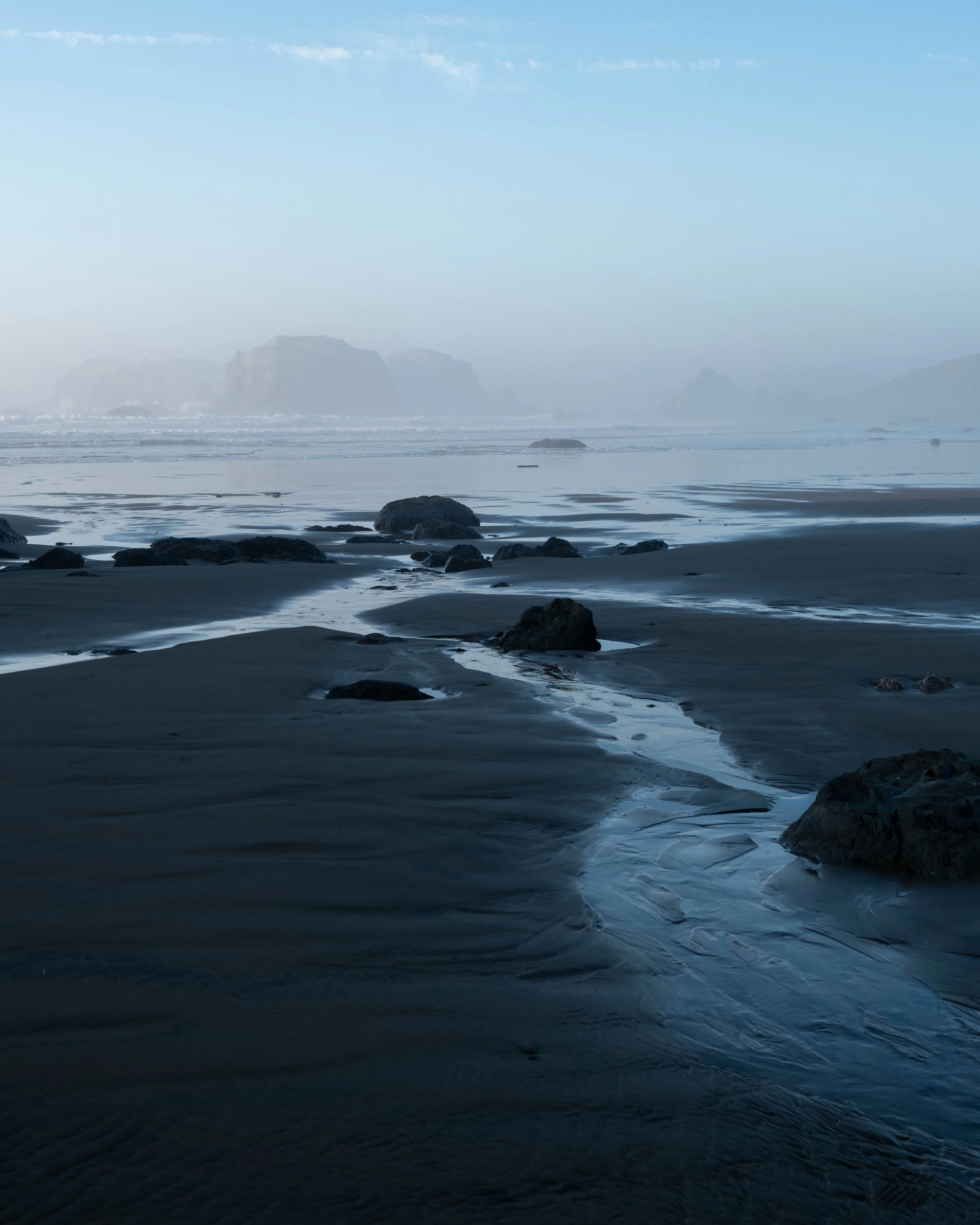
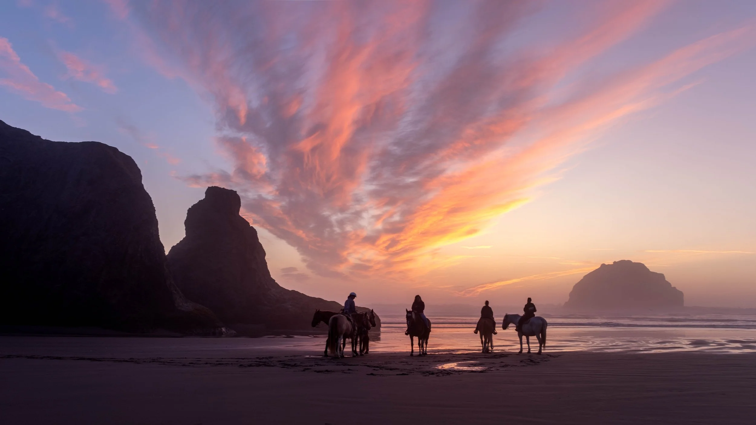
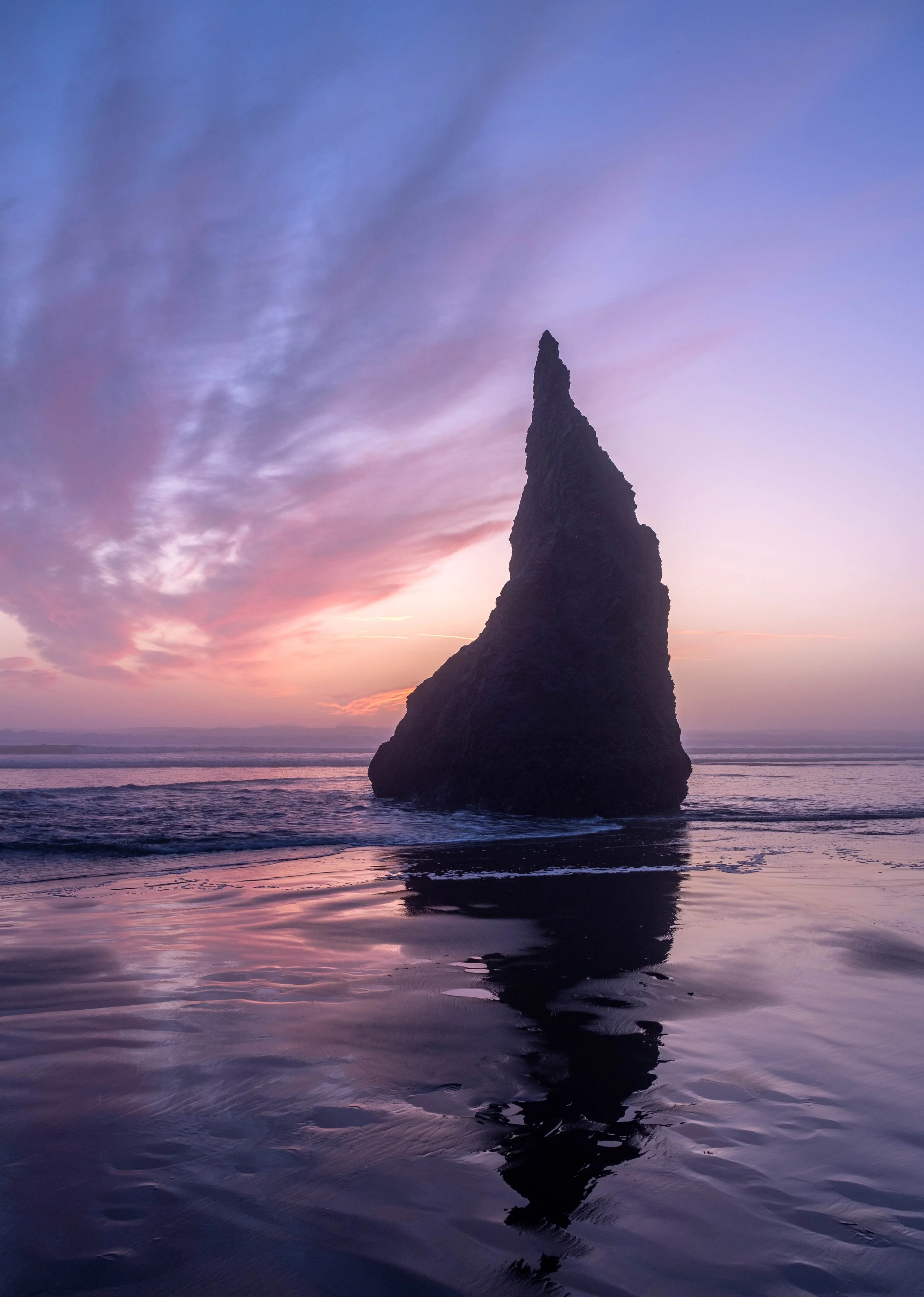
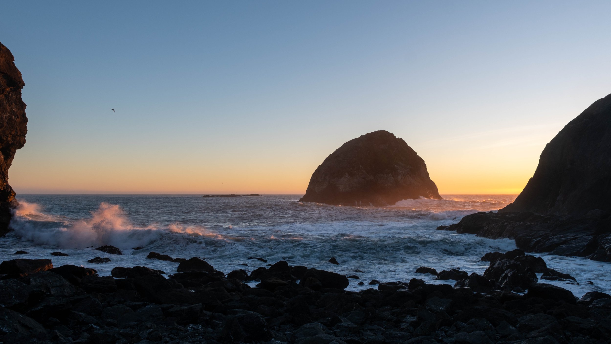
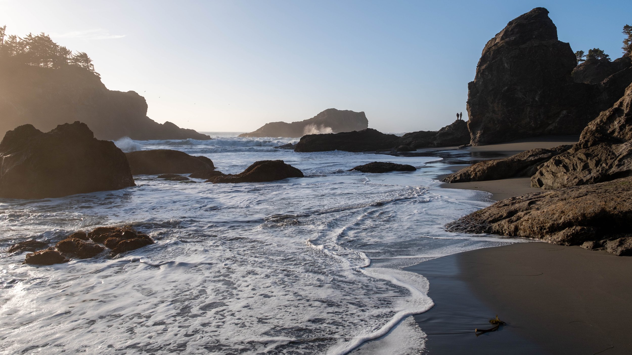
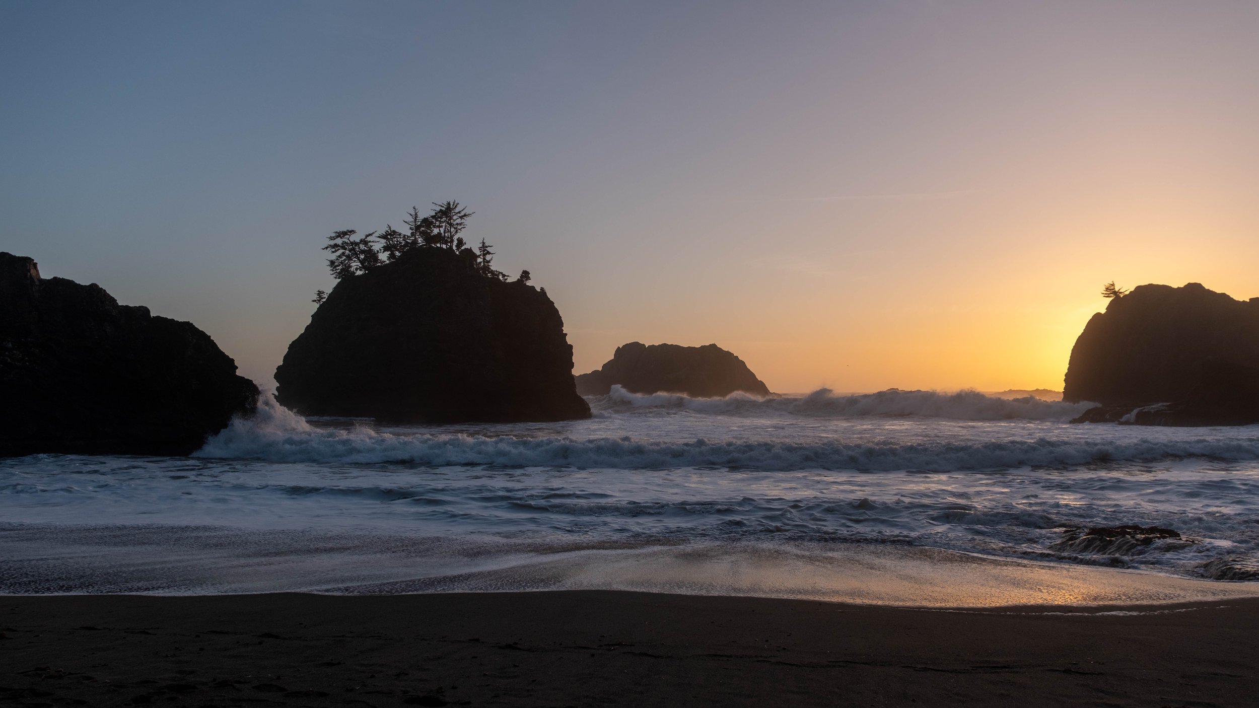
I had notions of going to Haystack Rock in Cannon Beach proper, but the conditions wouldn’t make for good photography. On my trip back in 2020, on my very first night, I caught a beautiful sunset on the beach. I spent a week there and didn’t get a second chance with those conditions, and I haven’t experienced them since. I took a walk along the ocean on the other side of the river just to see where it led.
Since I needed to go back through Cannon Beach to get to Oswald West, I decided to pop into Seasons Cafe for what would turn out to be one of the best meals I ate on the whole trip. The gyro “half” sandwich that was larger than most full sized sandwiches I’ve seen, and an absolutely divine bowl of chicken corn chowder that I desperately need to try and recreate at home.
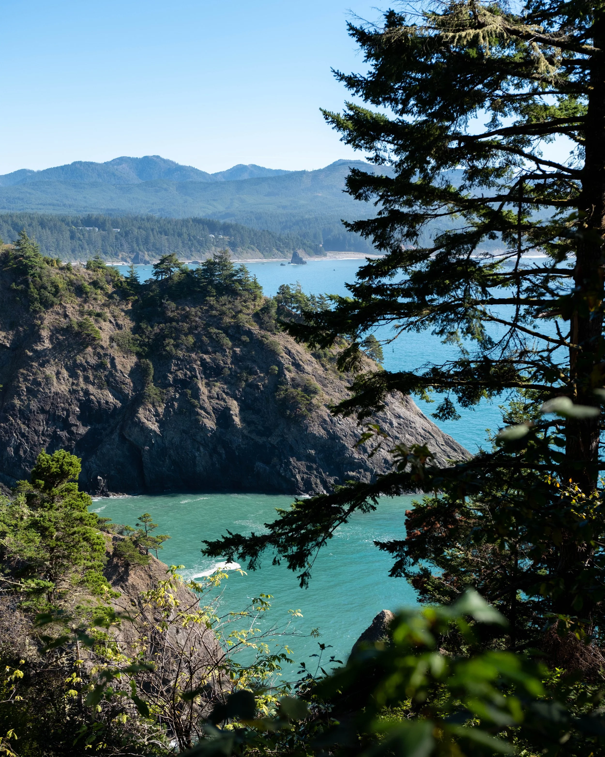
I headed out to Oswald West to hike some of the trails I hadn’t done before, and it’s a good thing, because my favorite trail from my previous trip was closed, washed out by heavy rains. I spent a fair bit of time getting turned around on the Elk Flats trail, and all in all, I didn’t walk away as impressed as I’d hoped. Especially not compared to my previous experience at Oswald West.
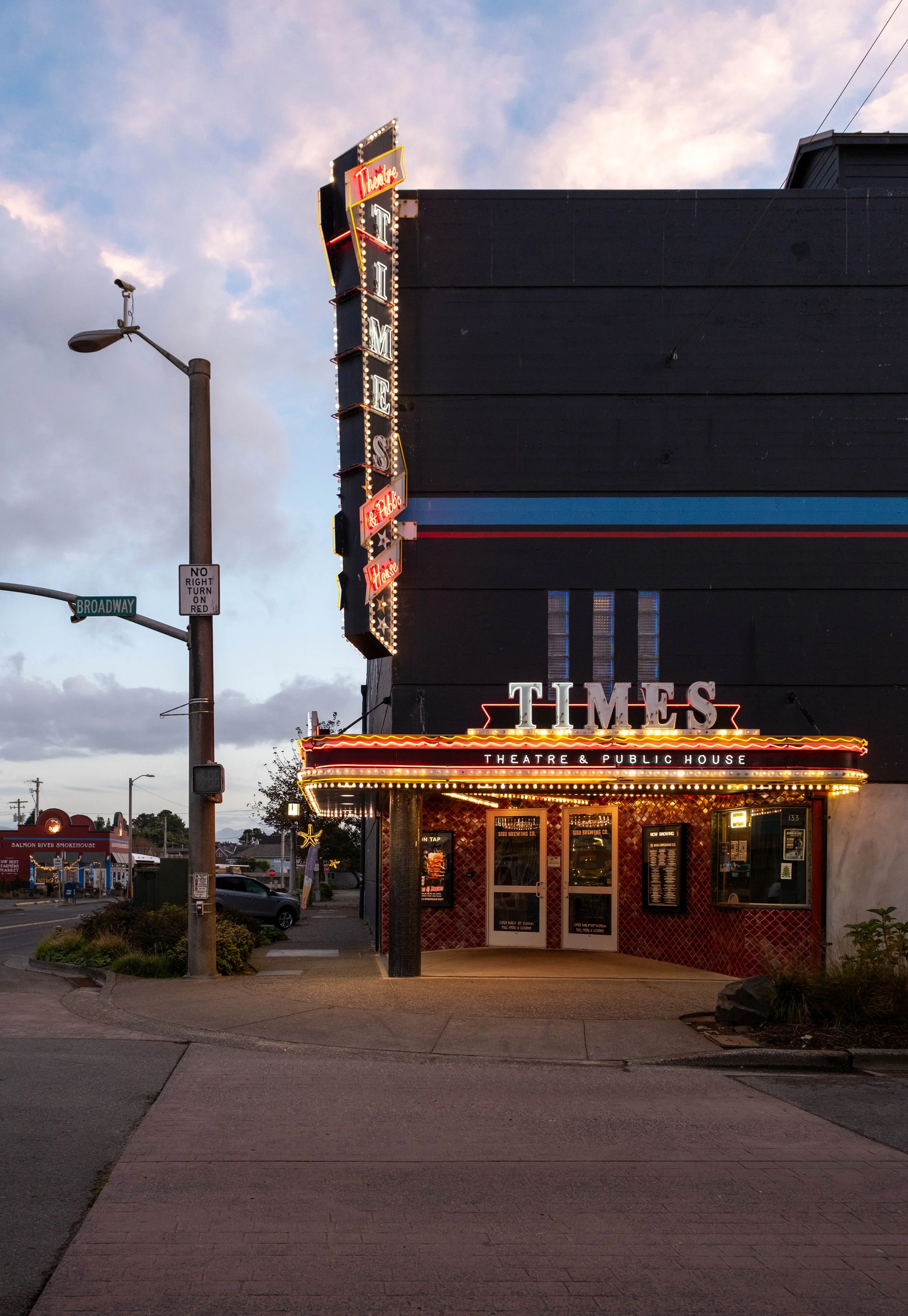
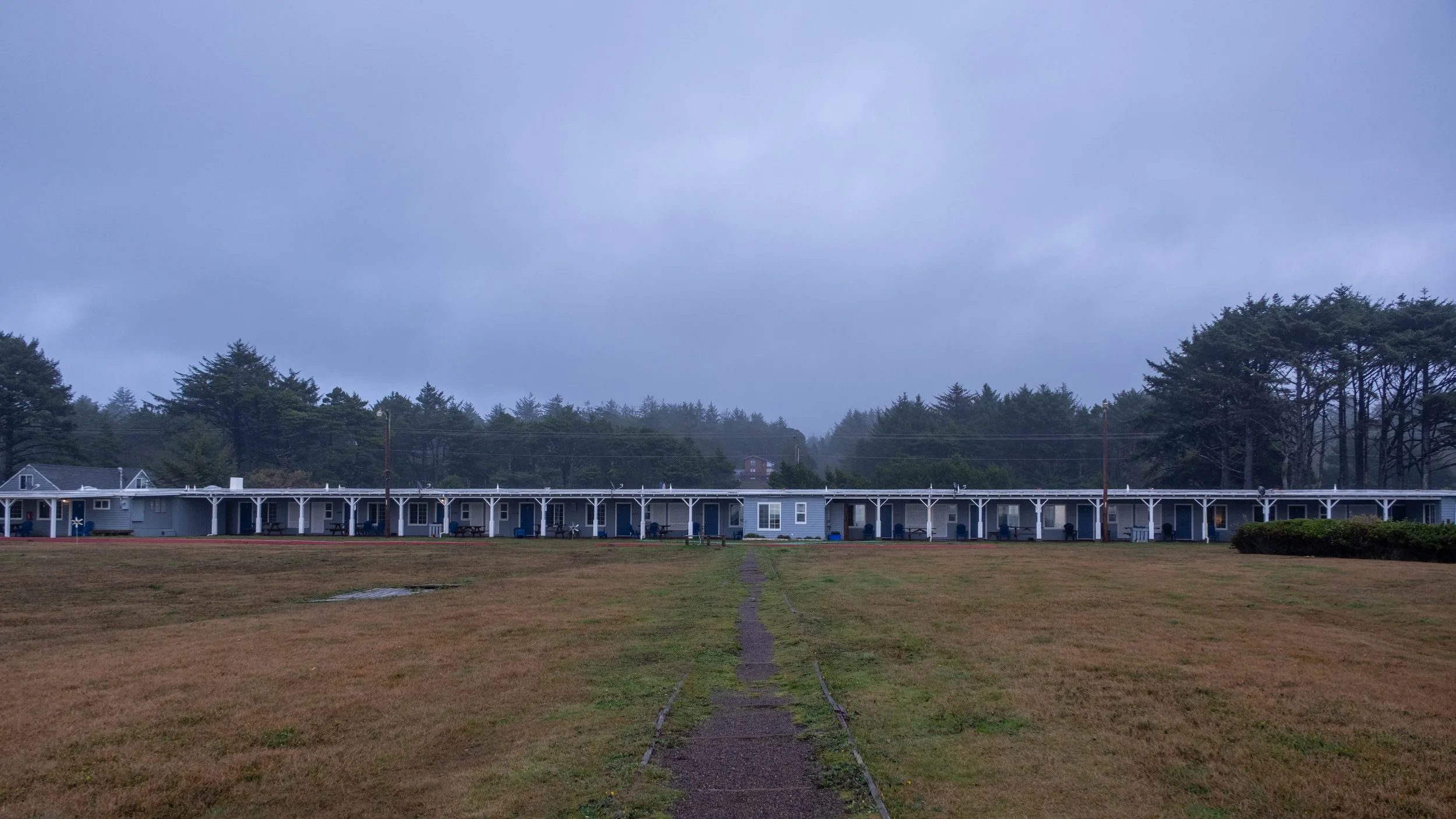
I still had enough daylight left that I drove back to Seaside to wander around town and see the older bits of art deco architecture. By this point, I’d spent 9 days being feral in the woods, so I had to remember how to take pictures in the city, with cars and people and things in straight lines. Be a citizen of society and all.
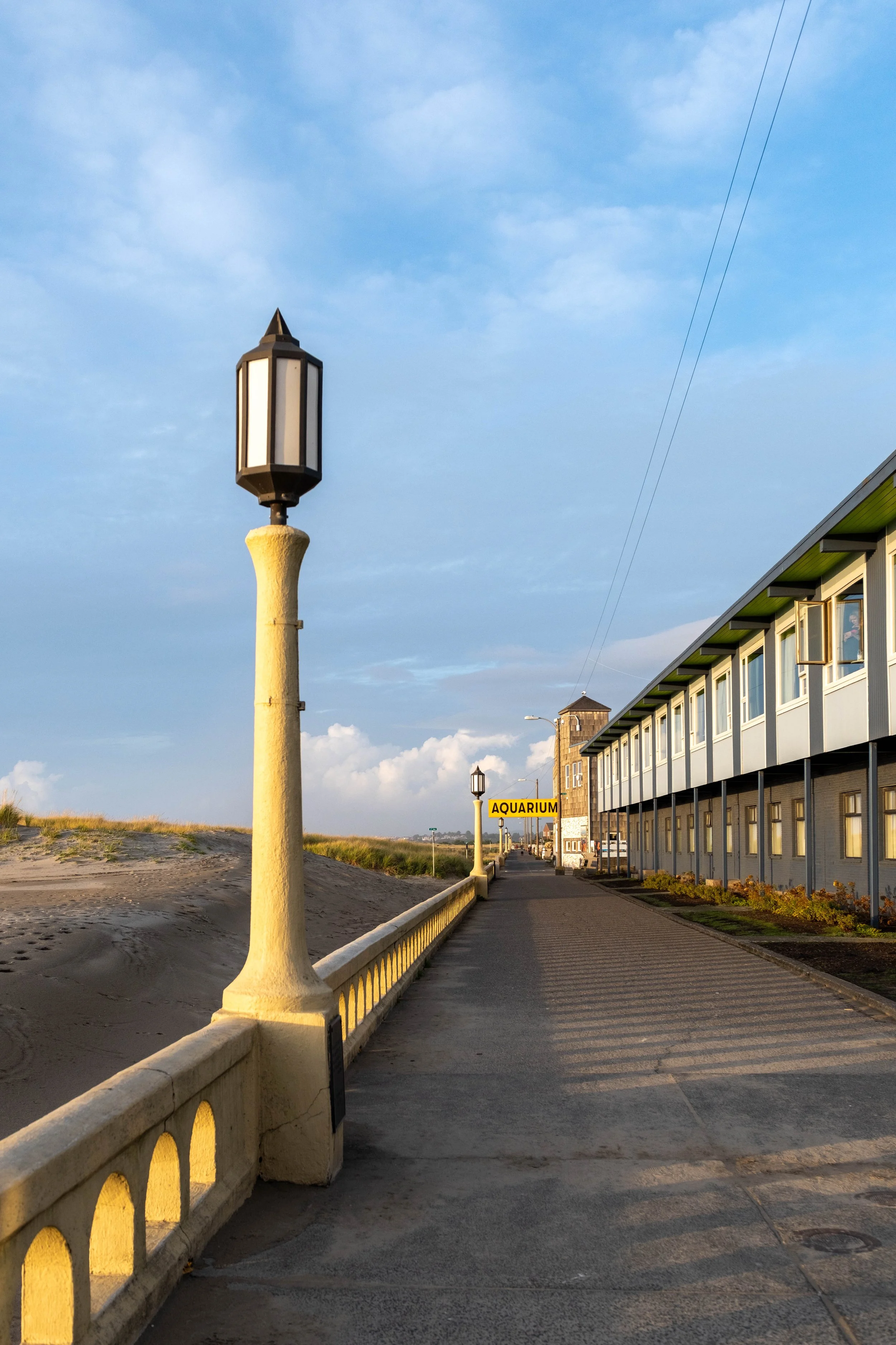
This walk goes the full length of the old downtown along the beach. You have to wonder how much time they spend pushing the sand back.
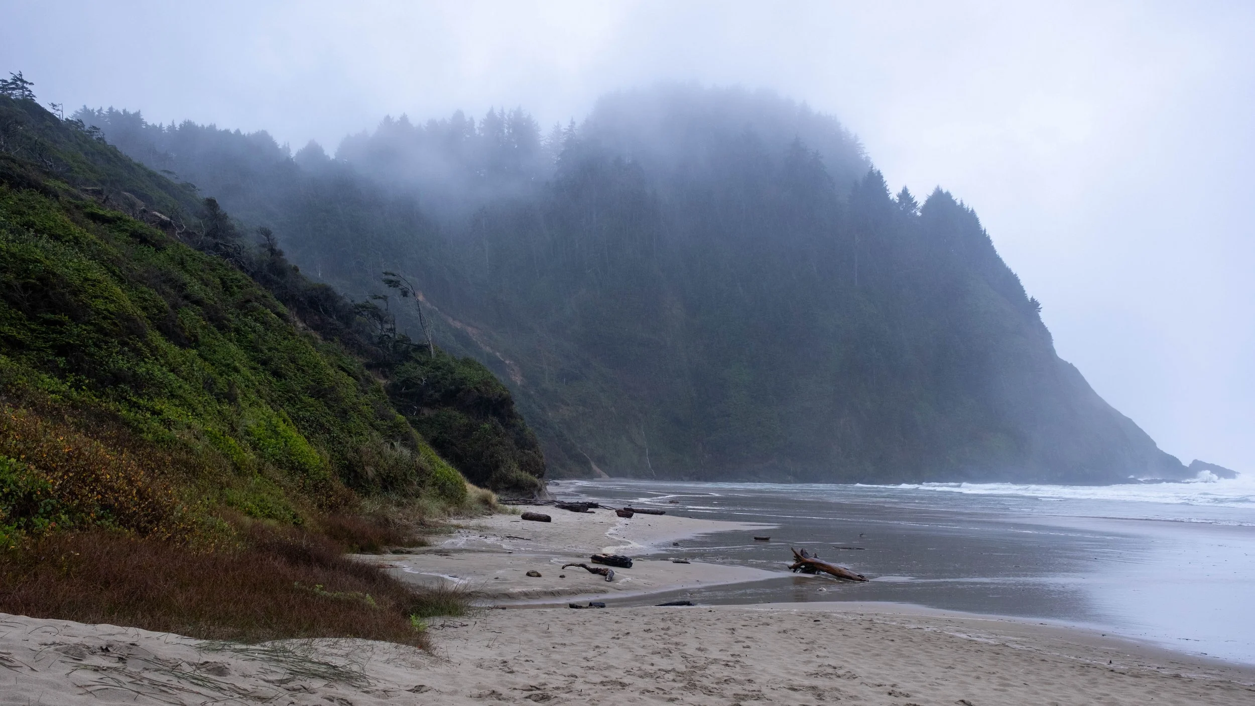
The actual beach at Seaside is exactly the sort of place you go for a family vacation. It’s flat and wide and safe because there are no cars anywhere nearby. Unfortunately, that also makes it not terribly interesting to photograph.
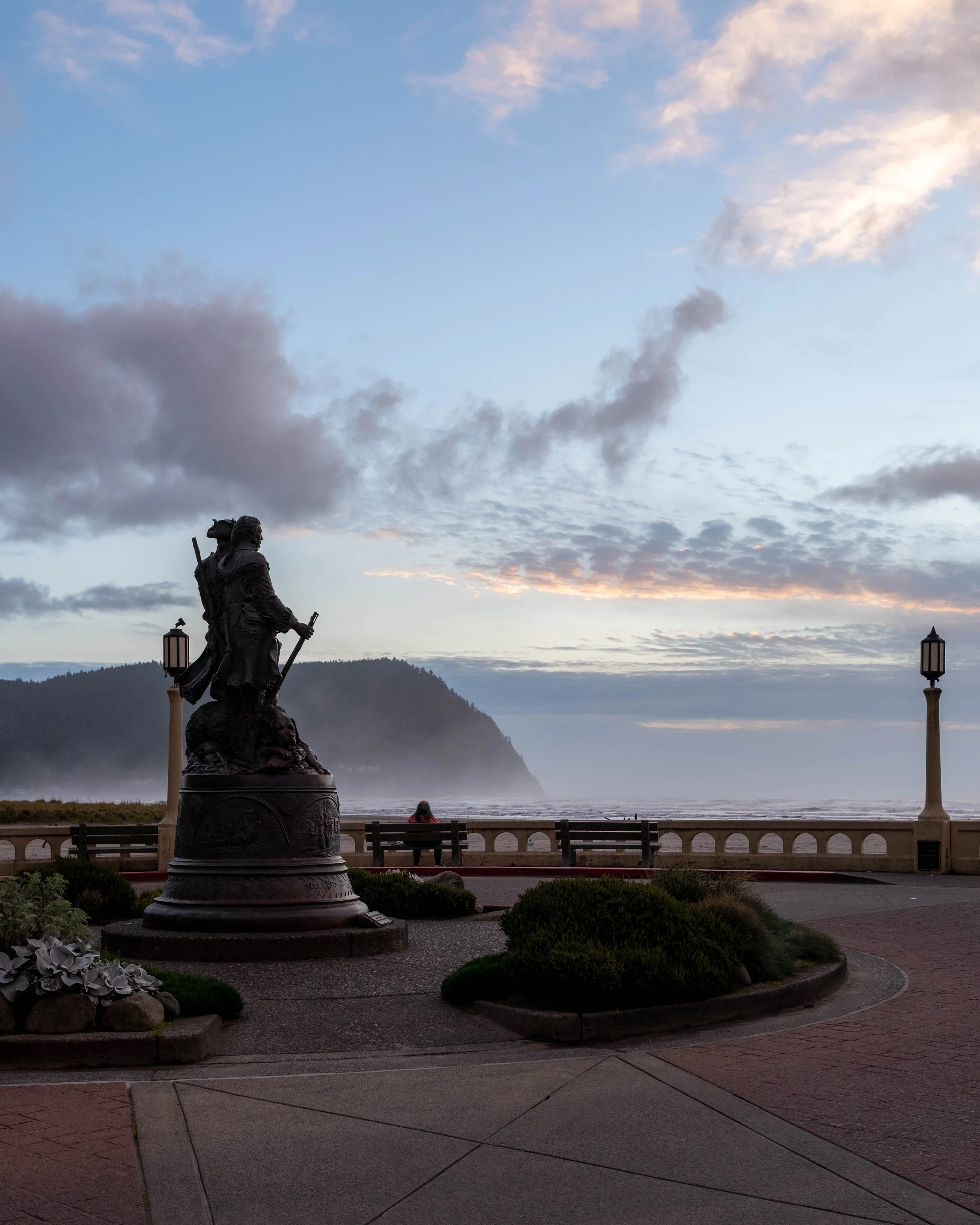
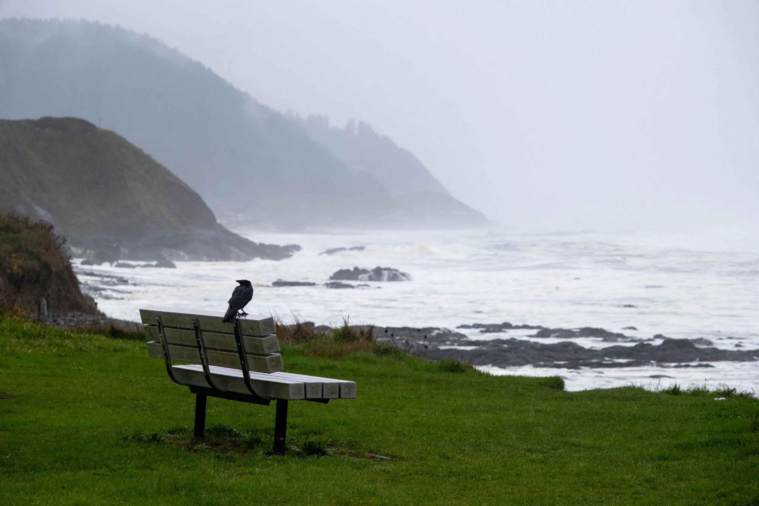
It wasn’t a spectacular sunset or anything, but there were people sitting on the benches, just enjoying the light and warmth.
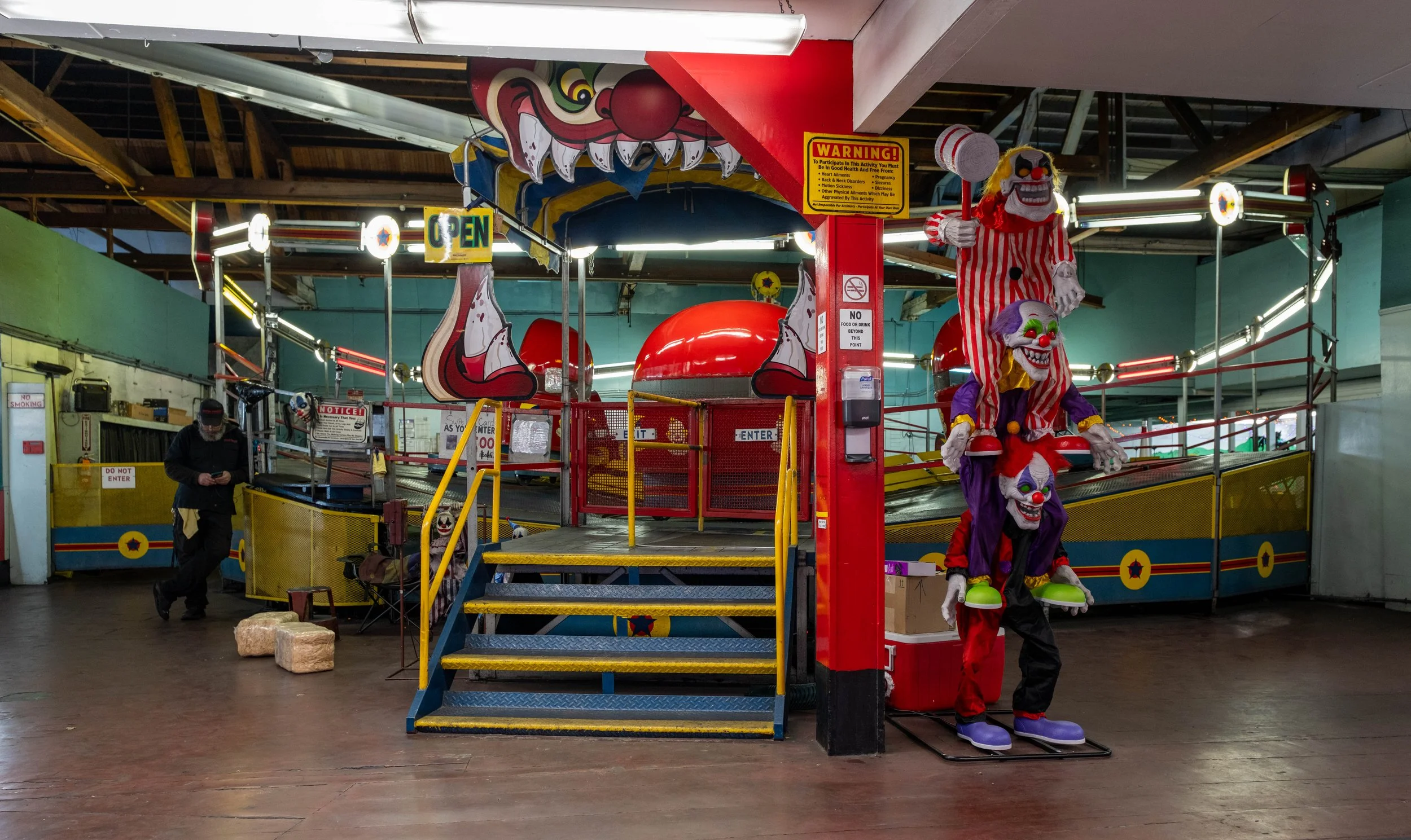
As I walked through town, I got a sense for the way coastal tourist towns are all the same. There were parts of the city where, if you’d told me I was Ocean City, I would have believed you. Sure, the boardwalk was different, and the sea air just smells different on the West coast, but the architecture and shops have that familiar feel. There was even an indoor amusement park complete with creepy clowns.
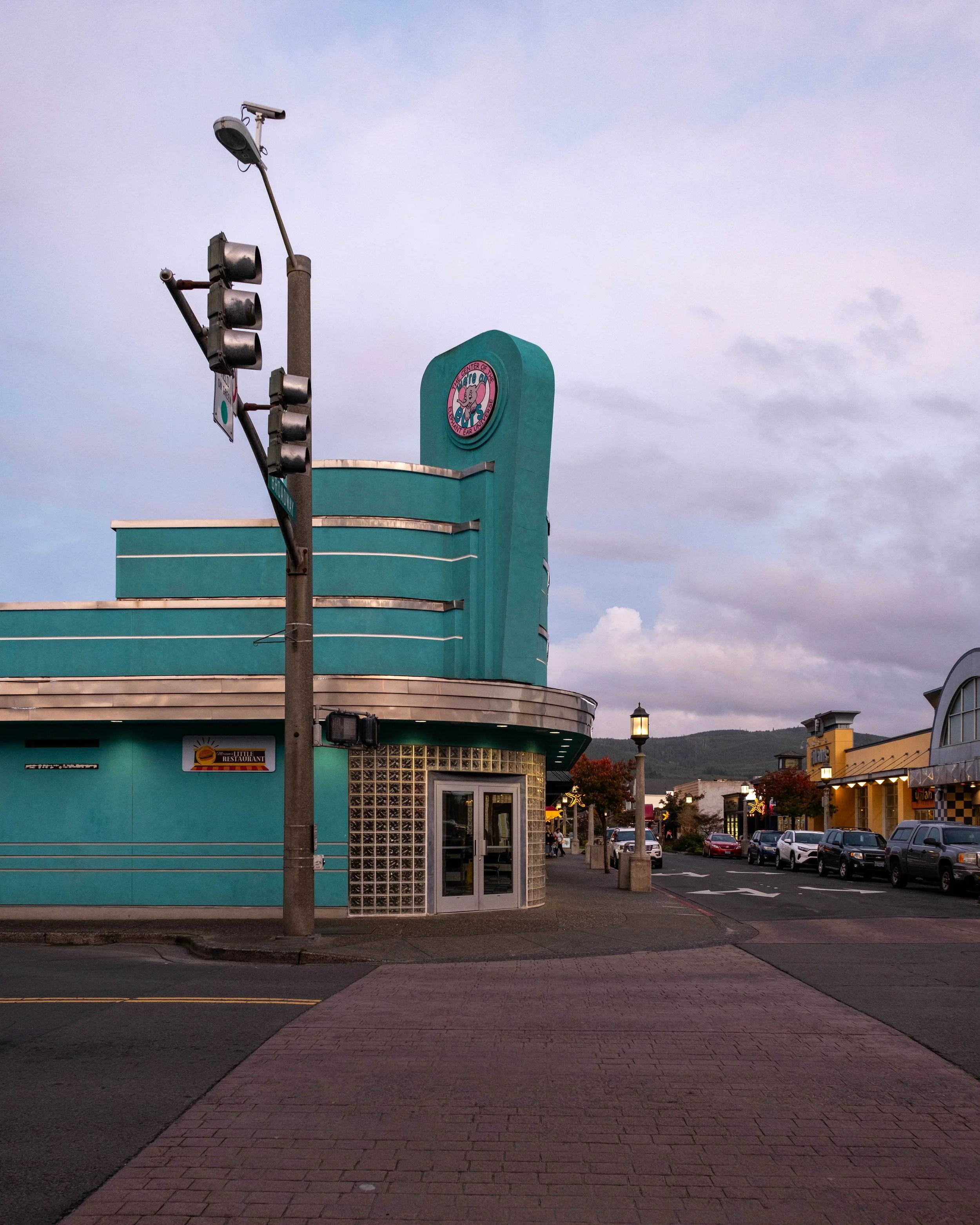
This intersection was such a great example of what I imagine Seaside used to look like 70+ years ago.